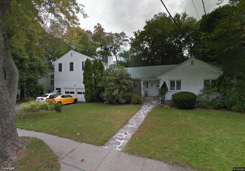
149 Berkeley St West Newton, MA 02465
West Newton NeighborhoodEstimated Value: $2,167,765 - $2,808,000
6
Beds
4
Baths
3,558
Sq Ft
$702/Sq Ft
Est. Value
About This Home
This home is located at 149 Berkeley St, West Newton, MA 02465 and is currently estimated at $2,496,691, approximately $701 per square foot. 149 Berkeley St is a home located in Middlesex County with nearby schools including Peirce Elementary School, F.A. Day Middle School, and Newton North High School.
Ownership History
Date
Name
Owned For
Owner Type
Purchase Details
Closed on
Apr 26, 2019
Sold by
Tavassoli Ft
Bought by
Tavassoli Maryam
Current Estimated Value
Purchase Details
Closed on
Oct 11, 2017
Sold by
Tavassoli Seyed R and Tavassoli Mehrandiz
Bought by
Tavassoli Ft
Purchase Details
Closed on
Apr 27, 2015
Sold by
Tavassoli Seyed R and Tavassoli Mehrangiz
Bought by
Tavassoli Seyed R and Tavassoli Mehrangiz
Create a Home Valuation Report for This Property
The Home Valuation Report is an in-depth analysis detailing your home's value as well as a comparison with similar homes in the area
Home Values in the Area
Average Home Value in this Area
Purchase History
| Date | Buyer | Sale Price | Title Company |
|---|---|---|---|
| Tavassoli Maryam | -- | -- | |
| Tavassoli Ft | -- | -- | |
| Tavassoli Seyed R | -- | -- |
Source: Public Records
Tax History
| Year | Tax Paid | Tax Assessment Tax Assessment Total Assessment is a certain percentage of the fair market value that is determined by local assessors to be the total taxable value of land and additions on the property. | Land | Improvement |
|---|---|---|---|---|
| 2025 | $15,558 | $1,587,600 | $1,260,900 | $326,700 |
| 2024 | $15,044 | $1,541,400 | $1,224,200 | $317,200 |
| 2023 | $14,430 | $1,417,500 | $963,000 | $454,500 |
| 2022 | $13,528 | $1,285,900 | $891,700 | $394,200 |
| 2021 | $12,963 | $1,204,700 | $841,200 | $363,500 |
| 2020 | $12,577 | $1,204,700 | $841,200 | $363,500 |
| 2019 | $12,222 | $1,169,600 | $816,700 | $352,900 |
| 2018 | $11,891 | $1,099,000 | $734,900 | $364,100 |
| 2017 | $11,529 | $1,036,800 | $693,300 | $343,500 |
| 2016 | $10,755 | $945,100 | $647,900 | $297,200 |
| 2015 | $10,255 | $883,300 | $605,500 | $277,800 |
Source: Public Records
Map
Nearby Homes
- 40 Sewall St
- 26 Sewall St
- 27 Tennyson Rd
- 0 Duncan Rd Unit 72925240
- 7 Sharon Ave Unit 7
- 97 Valentine St
- 81 Fuller St
- 1917 Commonwealth Ave Unit 1917
- 1919 Commonwealth Ave Unit 1919
- 383 Cherry St Unit 383
- 19 Gordon Rd
- 20 Risley Rd
- 6 Elm St Unit 6
- 16 Elm St Unit 16
- 2 Elm St Unit 2
- 305 Webster St Unit 2
- 106 River St Unit 18
- 8 Elm St Unit 8
- 194 Auburn St
- 1230 Commonwealth Ave
Your Personal Tour Guide
Ask me questions while you tour the home.