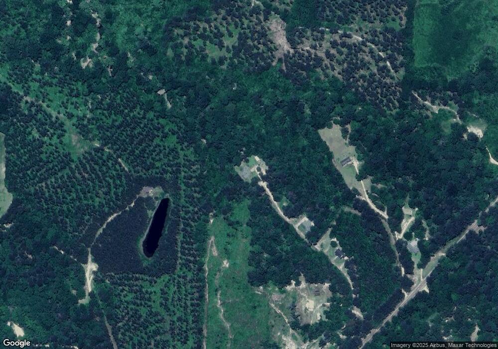
149 Deer Creek Cove Mendenhall, MS 39114
Estimated Value: $248,012 - $283,000
--
Bed
--
Bath
2,481
Sq Ft
$105/Sq Ft
Est. Value
About This Home
This home is located at 149 Deer Creek Cove, Mendenhall, MS 39114 and is currently estimated at $261,337, approximately $105 per square foot. 149 Deer Creek Cove is a home with nearby schools including Mendenhall Elementary School, Mendenhall Junior High School, and Mendenhall High School.
Ownership History
Date
Name
Owned For
Owner Type
Purchase Details
Closed on
Dec 27, 2022
Sold by
Hankins Donald
Bought by
Jones Troy Thomas
Current Estimated Value
Home Financials for this Owner
Home Financials are based on the most recent Mortgage that was taken out on this home.
Original Mortgage
$9,840
Outstanding Balance
$4,996
Interest Rate
6.61%
Mortgage Type
New Conventional
Estimated Equity
$256,341
Purchase Details
Closed on
Jan 3, 2019
Sold by
Jones Troy and Jones Alicia C
Bought by
Jones Troy
Purchase Details
Closed on
Aug 27, 2010
Sold by
Hammock Thomas J and Hammock Nikki W
Bought by
Wester Robert Brock and Wester Ashley Lynn
Home Financials for this Owner
Home Financials are based on the most recent Mortgage that was taken out on this home.
Original Mortgage
$152,940
Interest Rate
4.25%
Mortgage Type
FHA
Create a Home Valuation Report for This Property
The Home Valuation Report is an in-depth analysis detailing your home's value as well as a comparison with similar homes in the area
Home Values in the Area
Average Home Value in this Area
Purchase History
| Date | Buyer | Sale Price | Title Company |
|---|---|---|---|
| Jones Troy Thomas | -- | -- | |
| Jones Troy | -- | -- | |
| Wester Robert Brock | -- | -- |
Source: Public Records
Mortgage History
| Date | Status | Borrower | Loan Amount |
|---|---|---|---|
| Open | Jones Troy Thomas | $9,840 | |
| Previous Owner | Wester Robert Brock | $152,940 |
Source: Public Records
Tax History Compared to Growth
Tax History
| Year | Tax Paid | Tax Assessment Tax Assessment Total Assessment is a certain percentage of the fair market value that is determined by local assessors to be the total taxable value of land and additions on the property. | Land | Improvement |
|---|---|---|---|---|
| 2024 | $1,245 | $13,586 | $0 | $0 |
| 2023 | $1,245 | $13,265 | $0 | $0 |
| 2022 | $1,160 | $13,252 | $0 | $0 |
| 2021 | $1,131 | $13,252 | $0 | $0 |
| 2020 | $1,049 | $12,488 | $0 | $0 |
| 2019 | $1,293 | $12,488 | $0 | $0 |
| 2018 | $1,293 | $12,488 | $0 | $0 |
| 2017 | $1,293 | $12,488 | $0 | $0 |
| 2016 | $919 | $12,253 | $0 | $0 |
| 2015 | $876 | $12,253 | $0 | $0 |
| 2014 | $1,176 | $12,253 | $0 | $0 |
Source: Public Records
Map
Nearby Homes
- 000 Hwy 13 Hwy
- 0 Simpson Highway 13 Unit 4111635
- 0 Hwy 13 Hwy
- 113 Williamson Ln
- 310 Polly Ave
- 103 Johnny Rawls Rd
- 0 Campbell Creek Rd
- 0 N East St
- 1002 Mark Dr
- 149 Martin Cir
- 707 N West St
- 619 Pittman Dr
- 119 Ashwood Ln
- 428 Simpson Cir
- 602 Circle Dr
- 810 N Maple Dr
- 0 Hwy 49 Unit 4110472
- 306 E Court Ave
- 211 W Maud Ave
- 00 Mississippi 13
- 130 Deer Creek Cove
- 126 Paul Clark Dr
- 120 Deer Creek Cove
- 122 Bill Russel Dr
- 118 Bill Russel Dr
- 3399 Simpson Highway 13
- 3361 Simpson Highway 13
- 198 Johnny Brown Rd
- 0 Paul Clark Rd Unit 268625
- 0 Paul Clark Rd Unit 1268625
- 115 A D May Dr
- 107 Troy Rankin Rd
- 1455 East St
- 132 Troy Rankin Rd
- 1428 East St
- 3485 Simpson Highway 13
- 124 Troy Rankin Rd
- 3281 Simpson Highway 13
- 3292 Simpson Highway 13
- 1424 East St
