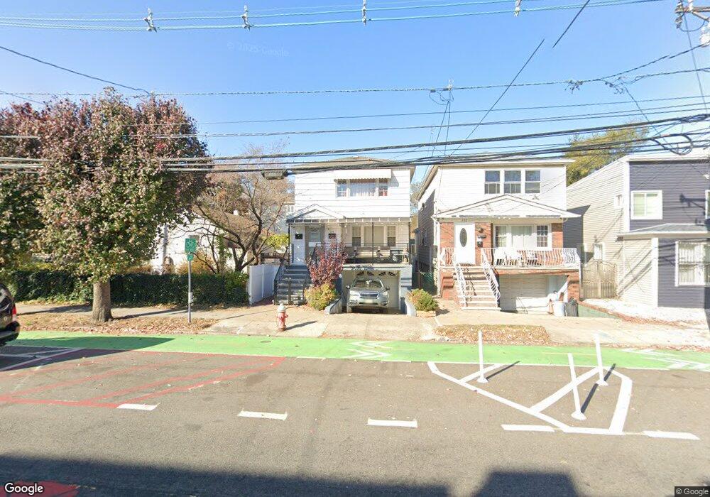
149 Mallory Ave Unit 2nd flr. Jersey City, NJ 07304
West Side NeighborhoodEstimated Value: $642,000 - $764,000
2
Beds
1
Bath
1,956
Sq Ft
$361/Sq Ft
Est. Value
About This Home
This home is located at 149 Mallory Ave Unit 2nd flr., Jersey City, NJ 07304 and is currently estimated at $706,029, approximately $360 per square foot. 149 Mallory Ave Unit 2nd flr. is a home located in Hudson County with nearby schools including Dr. Paul Rafalides School, P.S. 33, Chaplain Charles Watters School, PS #24, and Henry Snyder High School.
Ownership History
Date
Name
Owned For
Owner Type
Purchase Details
Closed on
Dec 22, 2014
Sold by
Narciso Celestino V and Narciso Leticia M
Bought by
Lashley Michael E and Lashley Yvonne F
Current Estimated Value
Home Financials for this Owner
Home Financials are based on the most recent Mortgage that was taken out on this home.
Original Mortgage
$246,000
Outstanding Balance
$188,920
Interest Rate
3.99%
Mortgage Type
New Conventional
Estimated Equity
$517,109
Create a Home Valuation Report for This Property
The Home Valuation Report is an in-depth analysis detailing your home's value as well as a comparison with similar homes in the area
Home Values in the Area
Average Home Value in this Area
Purchase History
| Date | Buyer | Sale Price | Title Company |
|---|---|---|---|
| Lashley Michael E | $346,000 | All Jersey Title Llc |
Source: Public Records
Mortgage History
| Date | Status | Borrower | Loan Amount |
|---|---|---|---|
| Open | Lashley Michael E | $246,000 |
Source: Public Records
Tax History Compared to Growth
Tax History
| Year | Tax Paid | Tax Assessment Tax Assessment Total Assessment is a certain percentage of the fair market value that is determined by local assessors to be the total taxable value of land and additions on the property. | Land | Improvement |
|---|---|---|---|---|
| 2025 | $7,601 | $340,400 | $125,400 | $215,000 |
| 2024 | $7,649 | $340,400 | $125,400 | $215,000 |
| 2023 | $7,649 | $340,400 | $125,400 | $215,000 |
| 2022 | $7,210 | $340,400 | $125,400 | $215,000 |
| 2021 | $5,460 | $340,400 | $125,400 | $215,000 |
| 2020 | $5,480 | $340,400 | $125,400 | $215,000 |
| 2019 | $5,242 | $340,400 | $125,400 | $215,000 |
| 2018 | $1,637 | $340,400 | $125,400 | $215,000 |
| 2017 | $8,580 | $110,000 | $16,800 | $93,200 |
| 2016 | $8,471 | $110,000 | $16,800 | $93,200 |
| 2015 | $8,177 | $148,000 | $16,800 | $131,200 |
| 2014 | $11,002 | $148,000 | $16,800 | $131,200 |
Source: Public Records
Map
Nearby Homes
- 172 Mallory Ave
- 10 Miller St
- 12 Miller St
- 240 Clendenny Ave Unit 5A
- 386 Union St
- 248 Clendenny Ave Unit 4
- 262 Clendenny Ave Unit 6
- 262 Clendenny Ave Unit 4
- 183 Lexington Ave
- 301 Ege Ave
- 175 Lexington Ave
- 134 Boyd Ave
- 143 Roosevelt Ave
- 92 Mallory Ave
- 111 Clarke Ave
- 136 Clarke Ave
- 58 Yale Ave
- 104 Yale Ave
- 119 Clendenny Ave Unit 3L
- 55 Mallory Ave Unit 69
- 149 Mallory Ave
- 151 Mallory Ave Unit 2
- 151 Mallory Ave
- 222 Boyd Ave
- 153 Mallory Ave
- 226 Boyd Ave
- 155 Mallory Ave
- 228 Boyd Ave
- 157 Mallory Ave
- 101 Williams Ave
- 230 Boyd Ave
- 145 Mallory Ave Unit 1R
- 159 Mallory Ave Unit garage
- 159 Mallory Ave Unit 2
- 159 Mallory Ave
- 159 Mallory Ave Unit Rear Side
- 159 Mallory Ave Unit Side Apt
- 159 Mallory Ave Unit Front Side
- 232 Boyd Ave
- 103 Williams Ave Unit 2