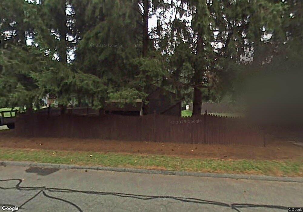
149 the Laurels Enfield, CT 06082
Estimated Value: $340,270 - $367,000
2
Beds
3
Baths
1,436
Sq Ft
$245/Sq Ft
Est. Value
About This Home
This home is located at 149 the Laurels, Enfield, CT 06082 and is currently estimated at $352,318, approximately $245 per square foot. 149 the Laurels is a home located in Hartford County with nearby schools including Prudence Crandall Elementary School, Nathan Hale Elementary School, and John F. Kennedy Middle School.
Ownership History
Date
Name
Owned For
Owner Type
Purchase Details
Closed on
Jul 12, 2001
Sold by
Bearce David and Bearce Ellen
Bought by
Zielinski Adam and Zielinski Joan
Current Estimated Value
Purchase Details
Closed on
Jun 12, 1987
Sold by
Laurel Hollow Dev
Bought by
Landon Margaret
Purchase Details
Closed on
May 28, 1987
Sold by
Cp Laurel Hollow Dv
Bought by
Landon Peter
Create a Home Valuation Report for This Property
The Home Valuation Report is an in-depth analysis detailing your home's value as well as a comparison with similar homes in the area
Home Values in the Area
Average Home Value in this Area
Purchase History
| Date | Buyer | Sale Price | Title Company |
|---|---|---|---|
| Zielinski Adam | $140,000 | -- | |
| Landon Margaret | $133,000 | -- | |
| Landon Peter | $130,500 | -- |
Source: Public Records
Mortgage History
| Date | Status | Borrower | Loan Amount |
|---|---|---|---|
| Closed | Landon Peter | $40,000 | |
| Closed | Landon Peter | $52,500 | |
| Closed | Landon Peter | $48,524 |
Source: Public Records
Tax History Compared to Growth
Tax History
| Year | Tax Paid | Tax Assessment Tax Assessment Total Assessment is a certain percentage of the fair market value that is determined by local assessors to be the total taxable value of land and additions on the property. | Land | Improvement |
|---|---|---|---|---|
| 2025 | $5,307 | $149,500 | $0 | $149,500 |
| 2024 | $5,167 | $149,500 | $0 | $149,500 |
| 2023 | $5,137 | $149,500 | $0 | $149,500 |
| 2022 | $4,730 | $149,500 | $0 | $149,500 |
| 2021 | $5,058 | $130,930 | $0 | $130,930 |
| 2020 | $5,005 | $130,930 | $0 | $130,930 |
| 2019 | $4,875 | $130,930 | $0 | $130,930 |
| 2018 | $4,766 | $130,930 | $0 | $130,930 |
| 2017 | $4,508 | $130,930 | $0 | $130,930 |
| 2016 | $4,184 | $126,180 | $0 | $126,180 |
| 2015 | $4,062 | $126,180 | $0 | $126,180 |
| 2014 | $3,966 | $126,180 | $0 | $126,180 |
Source: Public Records
Map
Nearby Homes
- 12 the Laurels Unit 12
- 11 Brook Rd
- 42 Candlewood Dr Unit 42
- 181 Candlewood Dr Unit 181
- 6 Jondot Dr
- 90 Cottage Rd
- 5 Cranberry Hollow Unit 5
- 18 Cranberry Hollow Unit 18
- 176 Cottage Rd
- 7 Oakwood St
- 14 W Forrest Dr
- 39 Liberty Ln
- 50 Liberty Ln
- 41 Liberty Ln
- 43 Liberty Ln
- 20 Gary Rd
- 65 W Shore Dr
- 21 Grove Rd
- 102 N Maple St Unit 1A
- 12 Concord Terrace
- 129 the Laurels
- 127 the Laurels
- 127 the Laurels Unit 127
- 125 the Laurels
- 125 the Laurels Unit 125
- 70 the Laurels
- 70 the Laurels Unit 70
- 123 the Laurels
- 123 the Laurels Unit 123
- 123 the Laurels Unit E 24
- 117 the Laurels
- 115 the Laurels
- 115 the Laurels Unit 115
- 113 the Laurels
- 107 the Laurels
- 107 the Laurels Unit B
- 107 the Laurels Unit 107
- 105 the Laurels
- 105 the Laurels Unit 105
- 103 the Laurels