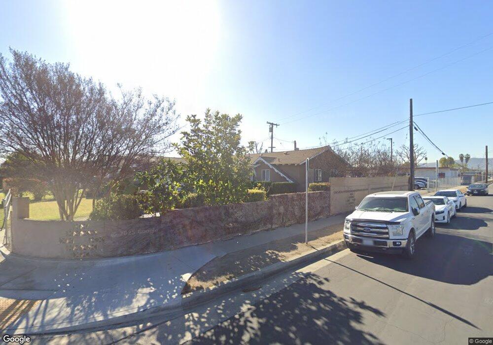
14902 Ragus St La Puente, CA 91744
West Puente Valley NeighborhoodEstimated Value: $654,000 - $713,000
3
Beds
2
Baths
1,060
Sq Ft
$648/Sq Ft
Est. Value
About This Home
This home is located at 14902 Ragus St, La Puente, CA 91744 and is currently estimated at $687,390, approximately $648 per square foot. 14902 Ragus St is a home located in Los Angeles County with nearby schools including California Elementary School, Sparks Middle School, and La Puente High School.
Ownership History
Date
Name
Owned For
Owner Type
Purchase Details
Closed on
Feb 15, 2023
Sold by
Villavicencio Zuniga Gloria
Bought by
Gloria Villavicencio Zuniga 2023 Trust
Current Estimated Value
Purchase Details
Closed on
Jul 11, 2006
Sold by
Zuniga Gloria Villavicencio and Villavicenio Gloria
Bought by
Zuniga Gloria Villavicencio
Home Financials for this Owner
Home Financials are based on the most recent Mortgage that was taken out on this home.
Original Mortgage
$330,000
Interest Rate
6.66%
Mortgage Type
New Conventional
Create a Home Valuation Report for This Property
The Home Valuation Report is an in-depth analysis detailing your home's value as well as a comparison with similar homes in the area
Home Values in the Area
Average Home Value in this Area
Purchase History
| Date | Buyer | Sale Price | Title Company |
|---|---|---|---|
| Gloria Villavicencio Zuniga 2023 Trust | -- | -- | |
| Zuniga Gloria Villavicencio | -- | New Century Title |
Source: Public Records
Mortgage History
| Date | Status | Borrower | Loan Amount |
|---|---|---|---|
| Previous Owner | Zuniga Gloria Villavicencio | $330,000 |
Source: Public Records
Tax History
| Year | Tax Paid | Tax Assessment Tax Assessment Total Assessment is a certain percentage of the fair market value that is determined by local assessors to be the total taxable value of land and additions on the property. | Land | Improvement |
|---|---|---|---|---|
| 2025 | $3,454 | $264,932 | $176,023 | $88,909 |
| 2024 | $3,454 | $259,738 | $172,572 | $87,166 |
| 2023 | $3,366 | $254,646 | $169,189 | $85,457 |
| 2022 | $3,269 | $249,654 | $165,872 | $83,782 |
| 2021 | $3,208 | $244,760 | $162,620 | $82,140 |
| 2019 | $3,117 | $237,502 | $157,798 | $79,704 |
| 2018 | $2,998 | $232,846 | $154,704 | $78,142 |
| 2016 | $2,779 | $223,806 | $148,698 | $75,108 |
| 2015 | $2,727 | $220,445 | $146,465 | $73,980 |
| 2014 | $2,687 | $216,127 | $143,596 | $72,531 |
Source: Public Records
Map
Nearby Homes
- 1133 Aldgate Ave
- 1420 Glenshaw Dr
- 15426 Hayland St
- 14641 Lassalette St
- 1020 League Ave
- 1528 W Delvale St
- 14612 Hutchcroft St
- 1023 Gilwood Ave
- 1084 Del Valle Ave
- 15704 Francisquito Ave
- 1711 W Francisquito Ave
- 1069 Aileron Ave
- 544 N Orange Ave Unit B
- 1659 S Sandia Ave
- 338 E Michelle St
- 826 Del Valle Ave
- 1604 S Orange Ave
- 611 Santo Oro Ave
- 14309 Beckner St
- 1926 W Lufkin St
- 14908 Ragus St
- 14914 Ragus St
- 14903 Ragus St
- 14911 Ragus St
- 14920 Ragus St
- 14917 Ragus St
- 1118 N California Ave
- 14926 Ragus St
- 1119 Saint Malo Ave
- 1123 Saint Malo Ave
- 1129 Saint Malo Ave
- 1041 N California Ave
- 1135 Saint Malo Ave
- 1102 Saint Malo Ave
- 1037 N California Ave
- 1108 Saint Malo Ave
- 1030 Greenberry Dr
- 1114 Saint Malo Ave
- 1118 Saint Malo Ave
- 1124 Saint Malo Ave
Your Personal Tour Guide
Ask me questions while you tour the home.