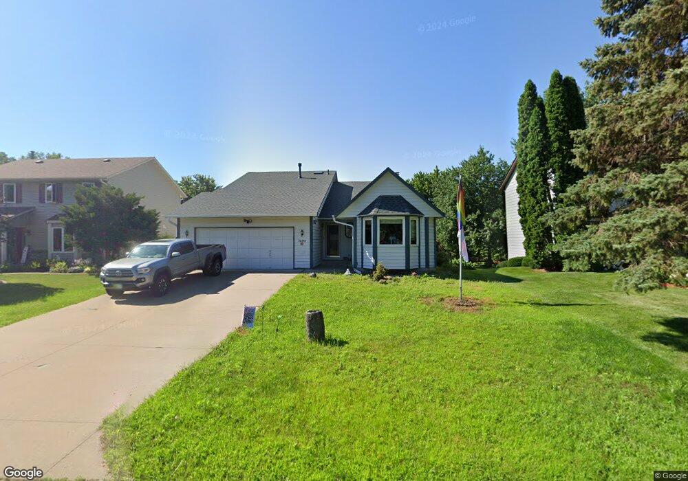
1492 Sextant Ave E Saint Paul, MN 55109
Hazelwood NeighborhoodEstimated Value: $391,536 - $437,000
3
Beds
2
Baths
2,129
Sq Ft
$197/Sq Ft
Est. Value
About This Home
This home is located at 1492 Sextant Ave E, Saint Paul, MN 55109 and is currently estimated at $419,634, approximately $197 per square foot. 1492 Sextant Ave E is a home located in Ramsey County with nearby schools including Richardson Elementary School and John Glenn Middle School.
Ownership History
Date
Name
Owned For
Owner Type
Purchase Details
Closed on
Jul 21, 2021
Sold by
Williams David J and Williams Kimberly D
Bought by
Adrestia Megan and Hembree Robert
Current Estimated Value
Home Financials for this Owner
Home Financials are based on the most recent Mortgage that was taken out on this home.
Original Mortgage
$301,600
Outstanding Balance
$273,906
Interest Rate
2.96%
Mortgage Type
New Conventional
Estimated Equity
$145,728
Create a Home Valuation Report for This Property
The Home Valuation Report is an in-depth analysis detailing your home's value as well as a comparison with similar homes in the area
Home Values in the Area
Average Home Value in this Area
Purchase History
| Date | Buyer | Sale Price | Title Company |
|---|---|---|---|
| Adrestia Megan | $377,000 | Burnet Title | |
| Adrestia Megan Megan | $377,000 | -- |
Source: Public Records
Mortgage History
| Date | Status | Borrower | Loan Amount |
|---|---|---|---|
| Open | Adrestia Megan | $301,600 | |
| Closed | Adrestia Megan Megan | $301,600 |
Source: Public Records
Tax History
| Year | Tax Paid | Tax Assessment Tax Assessment Total Assessment is a certain percentage of the fair market value that is determined by local assessors to be the total taxable value of land and additions on the property. | Land | Improvement |
|---|---|---|---|---|
| 2025 | $5,138 | $383,000 | $55,700 | $327,300 |
| 2023 | $5,138 | $363,900 | $55,700 | $308,200 |
| 2022 | $4,224 | $359,500 | $55,700 | $303,800 |
| 2021 | $3,444 | $290,600 | $55,700 | $234,900 |
| 2020 | $3,636 | $272,600 | $55,700 | $216,900 |
| 2019 | $2,998 | $268,800 | $55,700 | $213,100 |
| 2018 | $2,786 | $234,200 | $55,700 | $178,500 |
| 2017 | $2,948 | $216,700 | $55,700 | $161,000 |
| 2016 | $2,610 | $0 | $0 | $0 |
| 2015 | $2,594 | $199,800 | $48,200 | $151,600 |
| 2014 | $2,312 | $0 | $0 | $0 |
Source: Public Records
Map
Nearby Homes
- 1515 Viking Dr E
- 1705 Lark Ave
- 1442 Sandhurst Ave E
- 1281 Edgehill Ct
- 1290 Belmont Ln E
- 1261 Skillman Ave E
- 1995 11th Ave E Unit 2
- 1995 11th Ave E Unit 1
- 1984 Prosperity Rd
- 2022 English St
- 2445 Crestwood Dr
- 2212 Ariel St N
- 1245 Terrace Ave Unit 412
- 1632 Legacy Pkwy E Unit 4
- 1201 Frost Ave
- 3029 Hemingway Trail N Unit 2
- 1855 Birmingham St
- 1256 County Road D E Unit 104
- 1884 Flandrau St
- 2053 Mesabi Ave
- 1498 Sextant Ave E
- 1486 Sextant Ave E
- 1508 Sextant Ave E
- 1480 Sextant Ave E
- 1495 Sextant Ave E
- 1487 Sextant Ave E
- 1503 Sextant Ave E
- 1514 Sextant Ave E
- 1481 Sextant Ave E
- 1509 Sextant Ave E
- 2438 Barclay St
- 2430 Barclay St
- 2424 Barclay St
- 1515 Sextant Ave E
- 1491 Gervais Ave
- 1522 Sextant Ave E
- 1485 Gervais Ave
- 1499 Gervais Ave
- 1479 Gervais Ave
- 1505 Gervais Ave
Your Personal Tour Guide
Ask me questions while you tour the home.