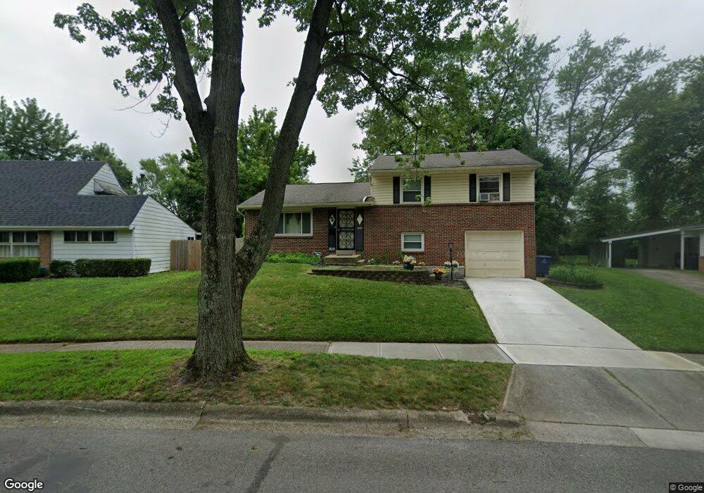
1493 Benson Dr Columbus, OH 43227
Shady Lane NeighborhoodEstimated Value: $209,846 - $226,000
3
Beds
2
Baths
1,104
Sq Ft
$195/Sq Ft
Est. Value
About This Home
This home is located at 1493 Benson Dr, Columbus, OH 43227 and is currently estimated at $214,962, approximately $194 per square foot. 1493 Benson Dr is a home located in Franklin County with nearby schools including Shady Lane Elementary School, Sherwood Middle School, and Walnut Ridge High School.
Ownership History
Date
Name
Owned For
Owner Type
Purchase Details
Closed on
Aug 26, 2025
Sold by
Johnson Mariam A Leggon and Leggon Mariam A
Bought by
Johnson Lansen B
Current Estimated Value
Purchase Details
Closed on
Jan 16, 2016
Sold by
Leggon Mariam A and Johnson Mariam A Leggon
Bought by
Johnson Mariam Leggon and Johnson Lansen B
Purchase Details
Closed on
Sep 8, 1999
Sold by
Leggon Marian A
Bought by
Johnson Lansen B
Home Financials for this Owner
Home Financials are based on the most recent Mortgage that was taken out on this home.
Original Mortgage
$81,000
Interest Rate
7.9%
Mortgage Type
Seller Take Back
Purchase Details
Closed on
Nov 20, 1996
Sold by
Miller Leewin G
Bought by
Mariam A Leggon
Home Financials for this Owner
Home Financials are based on the most recent Mortgage that was taken out on this home.
Original Mortgage
$69,862
Interest Rate
7.94%
Mortgage Type
FHA
Purchase Details
Closed on
Aug 23, 1989
Create a Home Valuation Report for This Property
The Home Valuation Report is an in-depth analysis detailing your home's value as well as a comparison with similar homes in the area
Home Values in the Area
Average Home Value in this Area
Purchase History
| Date | Buyer | Sale Price | Title Company |
|---|---|---|---|
| Johnson Lansen B | -- | None Listed On Document | |
| Johnson Mariam Leggon | -- | None Available | |
| Johnson Lansen B | $82,400 | -- | |
| Mariam A Leggon | $69,900 | -- | |
| -- | $59,900 | -- |
Source: Public Records
Mortgage History
| Date | Status | Borrower | Loan Amount |
|---|---|---|---|
| Previous Owner | Johnson Lansen B | $81,000 | |
| Previous Owner | Mariam A Leggon | $69,862 |
Source: Public Records
Tax History
| Year | Tax Paid | Tax Assessment Tax Assessment Total Assessment is a certain percentage of the fair market value that is determined by local assessors to be the total taxable value of land and additions on the property. | Land | Improvement |
|---|---|---|---|---|
| 2025 | $2,894 | $64,480 | $20,060 | $44,420 |
| 2024 | $2,894 | $64,480 | $20,060 | $44,420 |
| 2023 | $2,857 | $64,470 | $20,055 | $44,415 |
| 2022 | $1,723 | $33,220 | $7,980 | $25,240 |
| 2021 | $1,726 | $33,220 | $7,980 | $25,240 |
| 2020 | $1,728 | $33,220 | $7,980 | $25,240 |
| 2019 | $1,597 | $26,330 | $6,410 | $19,920 |
| 2018 | $1,549 | $26,330 | $6,410 | $19,920 |
| 2017 | $1,626 | $26,330 | $6,410 | $19,920 |
| 2016 | $1,656 | $25,000 | $6,900 | $18,100 |
| 2015 | $1,503 | $25,000 | $6,900 | $18,100 |
| 2014 | $1,507 | $25,000 | $6,900 | $18,100 |
| 2013 | $874 | $29,400 | $8,120 | $21,280 |
Source: Public Records
Map
Nearby Homes
- 4677 E Livingston Ave
- 4859 Folger Dr
- 1377 Marble Dr
- 1612 Simpson Dr
- 1607 Simpson Dr
- 4649 Dundee Ave
- 1691 Shady Lane Rd
- 1571 Baxter Dr
- 1255 Manfeld Dr
- 1470 Efner Dr
- 1216 Marble Dr
- 1559 Pyle Place
- 4467 Grimsby Rd
- 1320 Nancy Ln
- 1193 Marble Dr
- 1607 Baxter Dr
- 4589 Belfast Dr
- 1281 Maetzel Dr
- 1618 S Hamilton Rd
- 1195 Huntly Dr
- 1489 Benson Dr
- 1499 Benson Dr
- 4722 E Livingston Ave
- 4728 E Livingston Ave
- 1481 Benson Dr
- 4712 E Livingston Ave
- 1501 Benson Dr
- 4738 E Livingston Ave
- 1494 Benson Dr
- 4746 E Livingston Ave
- 1486 Benson Dr
- 1475 Benson Dr
- 1478 Benson Dr
- 1503 Benson Dr
- 1519 Country Club Rd
- 1498 Benson Dr
- 1527 Country Club Rd
- 1467 Benson Dr
- 1485 Country Club Rd
- 1460 Benson Dr