1497 S 1020 E Unit 4 Orem, UT 84097
Hillcrest NeighborhoodEstimated Value: $3,595,817
5
Beds
7
Baths
6,045
Sq Ft
$595/Sq Ft
Est. Value
About This Home
This home is located at 1497 S 1020 E Unit 4, Orem, UT 84097 and is currently estimated at $3,595,817, approximately $594 per square foot. 1497 S 1020 E Unit 4 is a home located in Utah County with nearby schools including Centennial Elementary, Lakeridge Jr High School, and Orem High School.
Ownership History
Date
Name
Owned For
Owner Type
Purchase Details
Closed on
Aug 7, 2025
Sold by
Carlson Michael J and Carlson Elyse L
Bought by
Michael And Elyse Carlson Family Trust and Carlson
Current Estimated Value
Purchase Details
Closed on
Apr 28, 2017
Sold by
Carlson Michael J and Carlson Elyse L
Bought by
Carlson Michael J and Carlson Elyse L
Home Financials for this Owner
Home Financials are based on the most recent Mortgage that was taken out on this home.
Original Mortgage
$2,325,000
Interest Rate
3.5%
Mortgage Type
Adjustable Rate Mortgage/ARM
Purchase Details
Closed on
May 6, 2016
Sold by
Open Range Llc
Bought by
Carlson Michael J and Carlson Elyse L
Create a Home Valuation Report for This Property
The Home Valuation Report is an in-depth analysis detailing your home's value as well as a comparison with similar homes in the area
Home Values in the Area
Average Home Value in this Area
Purchase History
| Date | Buyer | Sale Price | Title Company |
|---|---|---|---|
| Michael And Elyse Carlson Family Trust | -- | None Listed On Document | |
| Carlson Michael J | -- | Inwest Title | |
| Carlson Michael J | -- | First American |
Source: Public Records
Mortgage History
| Date | Status | Borrower | Loan Amount |
|---|---|---|---|
| Previous Owner | Carlson Michael J | $2,325,000 |
Source: Public Records
Tax History
| Year | Tax Paid | Tax Assessment Tax Assessment Total Assessment is a certain percentage of the fair market value that is determined by local assessors to be the total taxable value of land and additions on the property. | Land | Improvement |
|---|---|---|---|---|
| 2025 | $12,308 | $1,755,600 | -- | -- |
| 2024 | $12,308 | $1,504,965 | $0 | $0 |
| 2023 | $10,744 | $1,412,015 | $0 | $0 |
| 2022 | $10,214 | $1,300,530 | $0 | $0 |
| 2021 | $9,923 | $1,913,700 | $471,400 | $1,442,300 |
| 2020 | $9,697 | $1,837,900 | $409,900 | $1,428,000 |
| 2019 | $8,178 | $1,611,800 | $409,900 | $1,201,900 |
| 2018 | $5,149 | $969,600 | $393,400 | $576,200 |
| 2017 | $3,777 | $381,000 | $0 | $0 |
| 2016 | $3,273 | $397,500 | $0 | $0 |
Source: Public Records
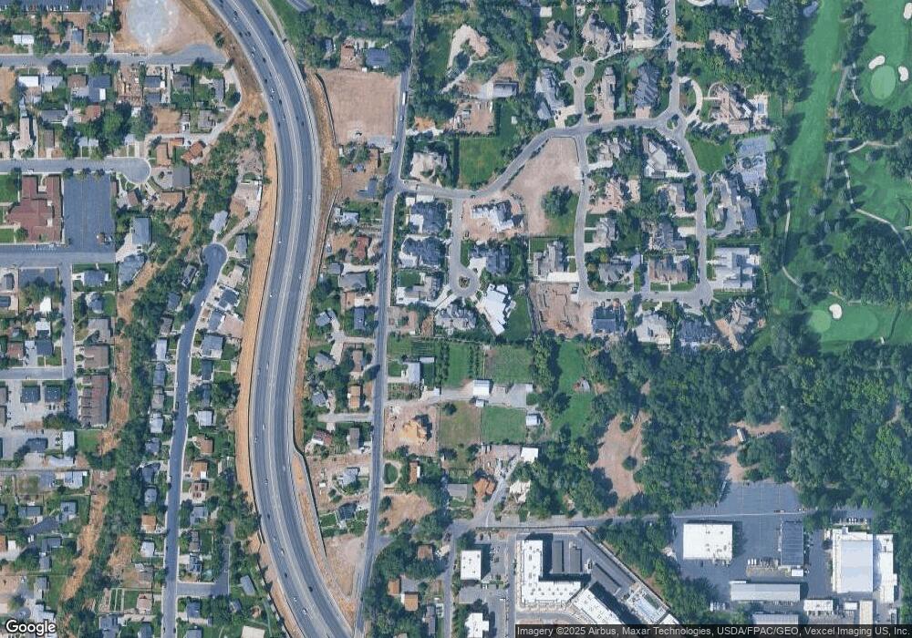
Map
Nearby Homes
- 1360 S Carterville Rd
- 431 W 2310 N
- 784 E 1700 S
- 720 E 1500 S
- 691 E 1600 S
- 673 E 1650 S
- 2241 N 1060 W
- 241 W 2230 N Unit 16
- 2939 N Marrcrest Dr W
- 223 W 2230 N Unit 14
- 2999 N Marrcrest West Dr
- 1009 W 2000 N
- 3013 N 100 W
- 3057 N 100 W
- 1927 Columbia Ln
- 2735 N Country Club Dr
- 1531 S 450 E
- 3240 Shadowbrook Dr
- 111 Candlewood Place
- 3221 Shadowbrook Cir
- 1545 S Carterville Rd
- 1492 S 1020 E Unit 3
- 1493 S 1020 E Unit 5
- 1485 S 1020 E Unit 6
- 1486 S 1020 E Unit 2
- 1555 S Carterville Rd
- 1528 S Carterville Rd
- 1520 S 1080 E Unit 11
- 1508 S Carterville Rd
- 1558 S Carterville Rd
- 1469 S 1020 E Unit 7
- 1490 S 1080 E Unit 10
- 1468 S 1020 E Unit 1
- 1538 S Carterville Rd
- 1494 S Carterville Rd
- 1564 S Carterville Rd
- 1548 S Carterville Rd
- 1548 S Carterville Rd Unit 1
- 1581 S Carterville Rd
- 1021 E 1450 S Unit 2
Your Personal Tour Guide
Ask me questions while you tour the home.