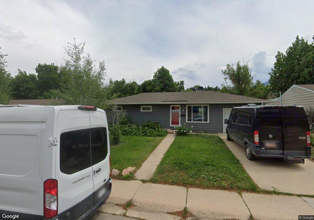
1498 Alpine Ave Boulder, CO 80304
Central Boulder NeighborhoodEstimated Value: $909,000 - $1,172,000
3
Beds
1
Bath
960
Sq Ft
$1,055/Sq Ft
Est. Value
About This Home
This home is located at 1498 Alpine Ave, Boulder, CO 80304 and is currently estimated at $1,013,159, approximately $1,055 per square foot. 1498 Alpine Ave is a home located in Boulder County with nearby schools including Whittier Elementary School, Casey Middle School, and Boulder High School.
Ownership History
Date
Name
Owned For
Owner Type
Purchase Details
Closed on
Mar 29, 2006
Sold by
Strevey Diane Arlene and Strevey Gregory Robert
Bought by
The Strevey Family Trust
Current Estimated Value
Purchase Details
Closed on
May 30, 1984
Bought by
Strevey Family Trust The
Purchase Details
Closed on
Aug 4, 1972
Bought by
Strevey Family Trust The
Create a Home Valuation Report for This Property
The Home Valuation Report is an in-depth analysis detailing your home's value as well as a comparison with similar homes in the area
Home Values in the Area
Average Home Value in this Area
Purchase History
| Date | Buyer | Sale Price | Title Company |
|---|---|---|---|
| The Strevey Family Trust | -- | None Available | |
| Strevey Family Trust The | $50,000 | -- | |
| Strevey Family Trust The | $21,000 | -- |
Source: Public Records
Tax History
| Year | Tax Paid | Tax Assessment Tax Assessment Total Assessment is a certain percentage of the fair market value that is determined by local assessors to be the total taxable value of land and additions on the property. | Land | Improvement |
|---|---|---|---|---|
| 2025 | $5,760 | $56,450 | $50,805 | $5,645 |
| 2024 | $5,760 | $56,450 | $50,805 | $5,645 |
| 2023 | $5,657 | $64,642 | $61,494 | $6,833 |
| 2022 | $4,917 | $52,146 | $46,931 | $5,215 |
| 2021 | $4,693 | $53,647 | $48,282 | $5,365 |
| 2020 | $3,929 | $45,138 | $36,108 | $9,030 |
| 2019 | $3,869 | $45,138 | $36,108 | $9,030 |
| 2018 | $3,518 | $40,579 | $32,472 | $8,107 |
| 2017 | $3,408 | $44,863 | $35,900 | $8,963 |
| 2016 | $3,402 | $39,299 | $31,442 | $7,857 |
| 2015 | $3,221 | $36,361 | $20,298 | $16,063 |
| 2014 | $3,057 | $36,361 | $20,298 | $16,063 |
Source: Public Records
Map
Nearby Homes
- 1749 Alpine Ave Unit 10
- 1526 Sunset Blvd
- 1895 Alpine Ave Unit G22
- 1895 Alpine Ave Unit G21
- 1895 Alpine Ave Unit E18
- 2870 18th St
- 2447 20th St
- 2236 17th St
- 1241 Balsam Ave
- 2324 19th St
- 1709 Pine St Unit 3
- 2965 17th St
- 1201 Balsam Ave Unit 206
- 2917 13th St
- 1412 Elder Ave
- 3010 14th St
- 2230 20th St
- 1111 Maxwell Ave Unit 109
- 1111 Maxwell Ave Unit 105
- 1237 Elder Ave Unit 1
Your Personal Tour Guide
Ask me questions while you tour the home.