1499 State Route Nn Mountain View, MO 65548
Estimated Value: $289,000 - $482,924
Studio
--
Bath
1,976
Sq Ft
$191/Sq Ft
Est. Value
About This Home
This home is located at 1499 State Route Nn, Mountain View, MO 65548 and is currently estimated at $377,641, approximately $191 per square foot. 1499 State Route Nn is a home with nearby schools including Liberty Senior High School.
Ownership History
Date
Name
Owned For
Owner Type
Purchase Details
Closed on
Oct 30, 2018
Sold by
Kaseth Age Jan and Pedersen Sally
Bought by
Knehans Michael D and Knehans Deanna D
Current Estimated Value
Home Financials for this Owner
Home Financials are based on the most recent Mortgage that was taken out on this home.
Original Mortgage
$170,000
Outstanding Balance
$128,697
Interest Rate
4.7%
Mortgage Type
VA
Estimated Equity
$248,944
Purchase Details
Closed on
Jan 2, 2014
Sold by
Carpenter Roger and Carpenter Sharon
Bought by
Kaseth Age Jan and Pedersen Sally
Purchase Details
Closed on
Mar 30, 2011
Sold by
Carpenter Roger and Carpenter Sharon
Bought by
Stone Thomas F and Stone Consuelo J
Home Financials for this Owner
Home Financials are based on the most recent Mortgage that was taken out on this home.
Original Mortgage
$45,829
Interest Rate
5.04%
Mortgage Type
Future Advance Clause Open End Mortgage
Create a Home Valuation Report for This Property
The Home Valuation Report is an in-depth analysis detailing your home's value as well as a comparison with similar homes in the area
Purchase History
| Date | Buyer | Sale Price | Title Company |
|---|---|---|---|
| Knehans Michael D | -- | None Available | |
| Kaseth Age Jan | -- | None Available | |
| Stone Thomas F | -- | Regional Title Inc |
Source: Public Records
Mortgage History
| Date | Status | Borrower | Loan Amount |
|---|---|---|---|
| Open | Knehans Michael D | $170,000 | |
| Previous Owner | Stone Thomas F | $45,829 |
Source: Public Records
Tax History
| Year | Tax Paid | Tax Assessment Tax Assessment Total Assessment is a certain percentage of the fair market value that is determined by local assessors to be the total taxable value of land and additions on the property. | Land | Improvement |
|---|---|---|---|---|
| 2025 | $1,535 | $40,490 | $2,660 | $37,830 |
| 2024 | $1,510 | $36,190 | -- | -- |
| 2023 | $1,510 | $36,190 | $0 | $0 |
| 2022 | $1,423 | $34,140 | $0 | $0 |
| 2021 | $1,228 | $29,680 | $0 | $0 |
| 2020 | $1,146 | $27,420 | $0 | $0 |
| 2019 | $1,143 | $27,420 | $0 | $0 |
| 2018 | $1,122 | $26,700 | $0 | $0 |
| 2017 | $1,114 | $26,700 | $0 | $0 |
Source: Public Records
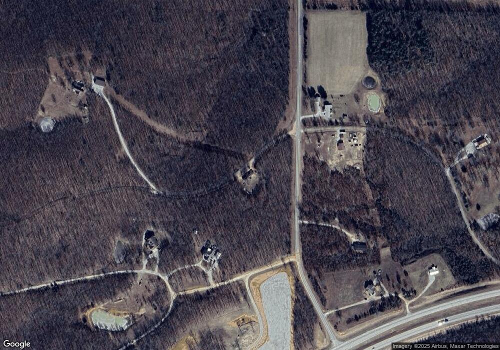
Map
Nearby Homes
- 000 Private Road 2532
- Private Road 2532
- Private Road 2532
- 6163 US Highway 60
- 6163 U S 60
- 1498 State Route Ra
- 1243 County Road 2410
- 0 State Route Nn Unit 11650934
- 1786 County Road 2030
- 1832 County Road 2030
- 000 County Road 3540
- 0 County Road 3200
- 000 County Road 3200
- 5293 County Road 3200
- 1657 Private Road 2970
- 1698 Private Road 2970
- 000 State Route Nn
- 1 County Road 2660
- 2571 State Route U
- 2601 State Route U
- 6234 Private Road 2532
- 6252 Private Road 2532
- 1415 State Route Nn
- 2634 County Road 330
- 1732 State Route Nn
- 000
- 160 State Route Nn
- 6416 U S 60
- 6569 Private Road 2534
- 1684 State Route Nn
- 0 Pr 2532 Unit 13039222
- 00 Private Road 2532
- 6154 Private Road 2532
- 6120 Private Road 2532
- 000 County Road 2530
- 6352 County Road 3400
- 6380 Private Road 2532
- 6400 County Road 3400
- 6117 Private Road 2532
- 1614 County Road 2530
Your Personal Tour Guide
Ask me questions while you tour the home.