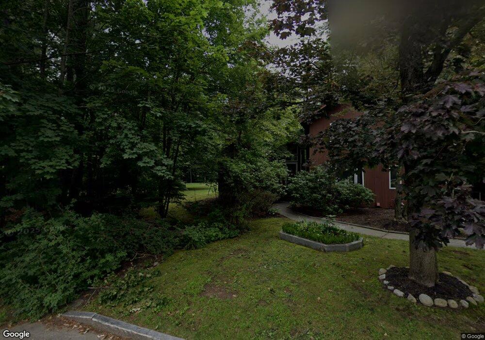
15 Brookside Dr Concord, NH 03301
South End NeighborhoodEstimated Value: $600,000 - $669,000
3
Beds
3
Baths
2,006
Sq Ft
$319/Sq Ft
Est. Value
About This Home
This home is located at 15 Brookside Dr, Concord, NH 03301 and is currently estimated at $639,611, approximately $318 per square foot. 15 Brookside Dr is a home located in Merrimack County with nearby schools including Abbot-Downing School, Rundlett Middle School, and Concord High School.
Ownership History
Date
Name
Owned For
Owner Type
Purchase Details
Closed on
Sep 30, 2005
Sold by
Prudential Residential
Bought by
Dow Douglas C
Current Estimated Value
Purchase Details
Closed on
Jul 2, 2002
Sold by
Veiner Janet B
Bought by
Gibson David J and Gibson Catherine J
Purchase Details
Closed on
Jul 17, 1998
Sold by
Husney Adam C
Bought by
Kopech Howard M and Kopech Celestina
Purchase Details
Closed on
Jan 8, 1997
Sold by
Gouchoe Bernard A and Gouchoe Elizabeth J
Bought by
Husney Adam C
Create a Home Valuation Report for This Property
The Home Valuation Report is an in-depth analysis detailing your home's value as well as a comparison with similar homes in the area
Home Values in the Area
Average Home Value in this Area
Purchase History
| Date | Buyer | Sale Price | Title Company |
|---|---|---|---|
| Dow Douglas C | $400,000 | -- | |
| Prudential Residential | $400,000 | -- | |
| Dow Douglas C | $400,000 | -- | |
| Gibson David J | $375,000 | -- | |
| Kopech Howard M | $192,000 | -- | |
| Husney Adam C | $178,500 | -- |
Source: Public Records
Mortgage History
| Date | Status | Borrower | Loan Amount |
|---|---|---|---|
| Open | Husney Adam C | $243,000 | |
| Closed | Husney Adam C | $288,300 | |
| Closed | Husney Adam C | $320,000 |
Source: Public Records
Tax History
| Year | Tax Paid | Tax Assessment Tax Assessment Total Assessment is a certain percentage of the fair market value that is determined by local assessors to be the total taxable value of land and additions on the property. | Land | Improvement |
|---|---|---|---|---|
| 2025 | $13,685 | $470,100 | $138,800 | $331,300 |
| 2024 | $13,017 | $470,100 | $138,800 | $331,300 |
| 2023 | $12,673 | $471,800 | $138,800 | $333,000 |
| 2022 | $12,215 | $471,800 | $138,800 | $333,000 |
| 2021 | $11,852 | $471,800 | $138,800 | $333,000 |
| 2020 | $10,642 | $397,700 | $109,300 | $288,400 |
| 2019 | $9,490 | $341,600 | $113,700 | $227,900 |
| 2018 | $9,449 | $335,200 | $114,100 | $221,100 |
| 2017 | $9,466 | $335,200 | $114,100 | $221,100 |
| 2016 | $9,092 | $328,600 | $111,900 | $216,700 |
| 2015 | $8,661 | $308,000 | $121,500 | $186,500 |
| 2014 | $8,257 | $308,000 | $121,500 | $186,500 |
| 2013 | -- | $299,700 | $121,500 | $178,200 |
| 2012 | -- | $298,900 | $128,000 | $170,900 |
Source: Public Records
Map
Nearby Homes
- 0 South St Unit 4969509
- 335 S Main St
- 33 Joffre St
- 40 Nivelle St
- 47 Noyes St
- 289 South St
- 273-279 S Main St
- 47 South St
- 30 Longmeadow Dr
- 58 S State St
- 111 -113 South Main St
- 7-9 Myrtle St
- 25 N Spring St
- 5 Holly Cir
- 5 Windchime Dr
- 21 Fairfield Dr
- 22 Fairfield Dr
- 20 Fairfield Dr
- 19 Grappone Dr
- 4 Bow Center Rd Unit F2
Your Personal Tour Guide
Ask me questions while you tour the home.