15 Brookside Way Missoula, MT 59802
Upper Rattlesnake NeighborhoodEstimated Value: $694,000 - $827,000
3
Beds
3
Baths
1,468
Sq Ft
$516/Sq Ft
Est. Value
About This Home
This home is located at 15 Brookside Way, Missoula, MT 59802 and is currently estimated at $756,755, approximately $515 per square foot. 15 Brookside Way is a home located in Missoula County with nearby schools including Rattlesnake Elementary School, Washington Middle School, and Hellgate High School.
Ownership History
Date
Name
Owned For
Owner Type
Purchase Details
Closed on
Sep 12, 2024
Sold by
Payne David C and Payne Carolyn R
Bought by
Payne Family Trust and Payne
Current Estimated Value
Purchase Details
Closed on
Apr 7, 2023
Sold by
Jenni Catherine B
Bought by
Payne David C and Payne Carolyn R
Purchase Details
Closed on
Nov 18, 2020
Sold by
Jenni Catherine B
Bought by
Jenni Catherine B and Catherine Brinckerhoff Jenni Trust
Purchase Details
Closed on
Jul 30, 2019
Sold by
Boehme Michael D and Michael D Boehme Family Trust
Bought by
Jenni Catherine E
Purchase Details
Closed on
Nov 26, 2012
Sold by
Boehme Michael
Bought by
Boehme Michael D and Michael D Boehme Family Trust
Purchase Details
Closed on
Nov 27, 2006
Sold by
Boehme Michael D
Bought by
Nelson Harold M and Nelson Neil W
Create a Home Valuation Report for This Property
The Home Valuation Report is an in-depth analysis detailing your home's value as well as a comparison with similar homes in the area
Home Values in the Area
Average Home Value in this Area
Purchase History
| Date | Buyer | Sale Price | Title Company |
|---|---|---|---|
| Payne Family Trust | -- | None Listed On Document | |
| Payne David C | -- | Flying S Title And Escrow Of M | |
| Jenni Catherine B | -- | None Listed On Document | |
| Jenni Catherine E | -- | Stewart Title | |
| Boehme Michael D | -- | None Available | |
| Nelson Harold M | -- | Insured Titles Llc |
Source: Public Records
Tax History Compared to Growth
Tax History
| Year | Tax Paid | Tax Assessment Tax Assessment Total Assessment is a certain percentage of the fair market value that is determined by local assessors to be the total taxable value of land and additions on the property. | Land | Improvement |
|---|---|---|---|---|
| 2025 | $7,194 | $743,200 | $314,425 | $428,775 |
| 2024 | $6,865 | $564,100 | $100,134 | $463,966 |
| 2023 | $6,655 | $564,100 | $100,134 | $463,966 |
| 2022 | $5,555 | $408,000 | $0 | $0 |
| 2021 | $4,956 | $408,000 | $0 | $0 |
| 2020 | $5,337 | $404,900 | $0 | $0 |
| 2019 | $5,281 | $402,000 | $0 | $0 |
| 2018 | $5,334 | $395,000 | $0 | $0 |
| 2017 | $5,246 | $395,000 | $0 | $0 |
| 2016 | $4,314 | $338,700 | $0 | $0 |
| 2015 | $3,994 | $338,700 | $0 | $0 |
| 2014 | $3,987 | $190,482 | $0 | $0 |
Source: Public Records
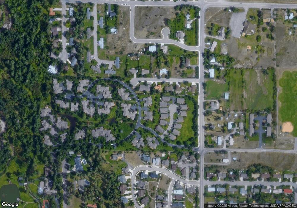
Map
Nearby Homes
- 18 Brookside Way
- 7 Brookside Way
- 6 Brookside Way
- 45 Brookside Way
- 1306 Lily Ct
- 3807 Lincoln Rd
- 3825 Lincoln Rd
- 1655 Sunflower Dr
- 1625 Sunflower Dr
- 19 Columbine Rd
- 8 Columbine Rd
- 1561 Mountain View Dr
- 4175 Rattlesnake Dr
- 4280 Fox Farm Rd
- 2606 Sycamore St
- 521 Arbor Dr
- 13 Contour Rd
- 2411 Raymond Ave
- 11 Contour Rd
- 2215 Raymond Ave
- 55 Brookside Way
- 56 Brookside Way
- 16 Brookside Way
- 54 Brookside Way
- 17 Brookside Way
- 53 Brookside Way
- 9 Brookside Way
- 10 Brookside Way
- 1211 Tulip Ln
- 8 Brookside Way
- 61 Brookside Way
- 11 Brookside Way
- 63 Brookside Way
- 63 Brookside Way
- 64 Brookside Way
- 65 Brookside Way
- 62 Brookside Way
- 12 Brookside Way
- 1215 Tulip Ln
- 66 Brookside Way