15 Burrows Ln Murphys, CA 95247
Estimated Value: $501,000 - $1,595,000
3
Beds
1
Bath
1,319
Sq Ft
$652/Sq Ft
Est. Value
About This Home
This home is located at 15 Burrows Ln, Murphys, CA 95247 and is currently estimated at $860,568, approximately $652 per square foot. 15 Burrows Ln is a home with nearby schools including Bret Harte Union High School and Christian Heritage Academy.
Ownership History
Date
Name
Owned For
Owner Type
Purchase Details
Closed on
Jul 14, 2025
Sold by
Leavitt/Eilmann Living Trust and Leavitt Alan L
Bought by
Clark Family Trust and Clark
Current Estimated Value
Purchase Details
Closed on
Apr 13, 2018
Sold by
Stevenot Anne C
Bought by
Leavitt Alan L and Eilmann Marianne
Home Financials for this Owner
Home Financials are based on the most recent Mortgage that was taken out on this home.
Original Mortgage
$200,000
Interest Rate
4.46%
Mortgage Type
New Conventional
Create a Home Valuation Report for This Property
The Home Valuation Report is an in-depth analysis detailing your home's value as well as a comparison with similar homes in the area
Purchase History
| Date | Buyer | Sale Price | Title Company |
|---|---|---|---|
| Clark Family Trust | $1,760,000 | First American Title | |
| Leavitt Alan L | $350,000 | Placer Title Co |
Source: Public Records
Mortgage History
| Date | Status | Borrower | Loan Amount |
|---|---|---|---|
| Previous Owner | Leavitt Alan L | $200,000 |
Source: Public Records
Tax History
| Year | Tax Paid | Tax Assessment Tax Assessment Total Assessment is a certain percentage of the fair market value that is determined by local assessors to be the total taxable value of land and additions on the property. | Land | Improvement |
|---|---|---|---|---|
| 2025 | $4,534 | $398,234 | $170,671 | $227,563 |
| 2023 | $4,408 | $382,772 | $164,045 | $218,727 |
| 2022 | $4,199 | $375,268 | $160,829 | $214,439 |
| 2021 | $4,184 | $367,911 | $157,676 | $210,235 |
| 2020 | $3,244 | $282,439 | $165,331 | $117,108 |
| 2019 | $3,208 | $276,902 | $162,090 | $114,812 |
| 2018 | $3,127 | $271,473 | $158,912 | $112,561 |
| 2017 | $3,044 | $266,151 | $155,797 | $110,354 |
| 2016 | $3,034 | $260,934 | $152,743 | $108,191 |
| 2015 | -- | $257,015 | $150,449 | $106,566 |
| 2014 | -- | $211,000 | $75,000 | $136,000 |
Source: Public Records
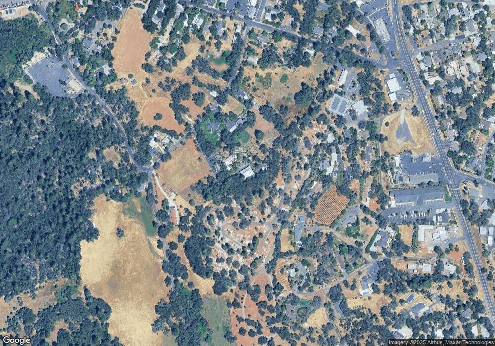
Map
Nearby Homes
- 494 Surrey Ct
- 133 Mitchler St
- 1 Watkins St
- 511 Surrey Ln
- 340 Tom Bell Rd
- 209 Black Bart Blvd
- 102 Cottage Cir
- 260 Fieldstone Dr
- 256 Fieldstone Dr
- 105 Fieldstone Dr
- 343 Fieldstone Dr
- 566 Friendly Ct
- 576 Quiet Place
- 433 E Highway 4
- 333 Oak Tree Cir
- 850 Murphys Creek Rd
- 340 Tom Bell Rd Sp #190
- 128 Creekside Ct
- 626 Williams St
- 279 Wyldewood Dr
Your Personal Tour Guide
Ask me questions while you tour the home.