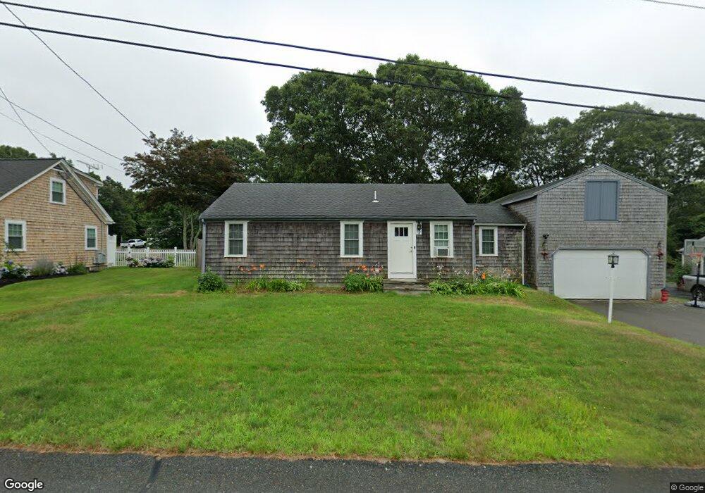
15 Cedar Point Dr Pocasset, MA 02559
Pocasset NeighborhoodEstimated Value: $714,000 - $802,000
2
Beds
1
Bath
1,116
Sq Ft
$678/Sq Ft
Est. Value
About This Home
This home is located at 15 Cedar Point Dr, Pocasset, MA 02559 and is currently estimated at $756,842, approximately $678 per square foot. 15 Cedar Point Dr is a home located in Barnstable County with nearby schools including Bourne High School, Cadence Academy Preschool - Bourne, and Heritage Christian Academy.
Ownership History
Date
Name
Owned For
Owner Type
Purchase Details
Closed on
Dec 1, 2015
Sold by
Mary E Ronayne Rt and Ronayne
Bought by
Ronayne Robert R
Current Estimated Value
Purchase Details
Closed on
Apr 13, 2004
Sold by
Ronayne Mary E
Bought by
Mary E Ronayne Rt and Ronayne
Create a Home Valuation Report for This Property
The Home Valuation Report is an in-depth analysis detailing your home's value as well as a comparison with similar homes in the area
Home Values in the Area
Average Home Value in this Area
Purchase History
| Date | Buyer | Sale Price | Title Company |
|---|---|---|---|
| Ronayne Robert R | -- | -- | |
| Ronayne Robert R | -- | -- | |
| Mary E Ronayne Rt | -- | -- | |
| Mary E Ronayne Rt | -- | -- |
Source: Public Records
Tax History Compared to Growth
Tax History
| Year | Tax Paid | Tax Assessment Tax Assessment Total Assessment is a certain percentage of the fair market value that is determined by local assessors to be the total taxable value of land and additions on the property. | Land | Improvement |
|---|---|---|---|---|
| 2025 | $4,855 | $621,700 | $385,200 | $236,500 |
| 2024 | $4,749 | $592,100 | $366,900 | $225,200 |
| 2023 | $4,604 | $522,600 | $324,700 | $197,900 |
| 2022 | $4,155 | $411,800 | $254,700 | $157,100 |
| 2021 | $4,037 | $374,800 | $231,800 | $143,000 |
| 2020 | $3,928 | $365,700 | $229,600 | $136,100 |
| 2019 | $3,763 | $358,000 | $229,600 | $128,400 |
| 2018 | $3,585 | $340,100 | $224,300 | $115,800 |
| 2017 | $3,470 | $336,900 | $222,200 | $114,700 |
| 2016 | $3,255 | $320,400 | $211,100 | $109,300 |
| 2015 | $3,058 | $303,700 | $194,400 | $109,300 |
Source: Public Records
Map
Nearby Homes
- 22 Nairn Rd
- 48 Red Brook Harbor Rd
- 3 Red Brook Pond Dr
- 1094 County Rd
- 171 Bellavista Dr
- 940 County Rd
- 254 Barlows Landing Rd
- 34 Kenwood Rd
- 45 Kenwood Rd
- 940 County Rd
- 709 County Rd
- 70 Wings Neck Rd
- 7 4th Ave
- 1234 Route 28a
- 174 Barlows Landing Rd
- 1234 Route 28a
- 15 1st St
- 24 Richmond Rd
- 10 Squeteague Harbor Rd
- 75 Winsor Rd
- 19 Cedar Point Dr
- 9 Cedar Point Dr
- 14 Cedar Point Dr
- 10 Cedar Point Dr
- 20 Cedar Point Dr
- 32 Elgin Rd
- 21 Spruce Dr
- 6 Cedar Point Dr
- 25 Spruce Dr
- 22 Cedar Point Dr
- 5 Cedar Point Dr
- 15 Spruce Dr
- 15 Spruce Dr
- 25 Cedar Point Dr
- 1 Elgin Rd
- 29 Spruce Dr
- 26 Cedar Point Dr
- 36 Elgin Rd
- 33 Spruce Dr
- 1018 Shore Rd