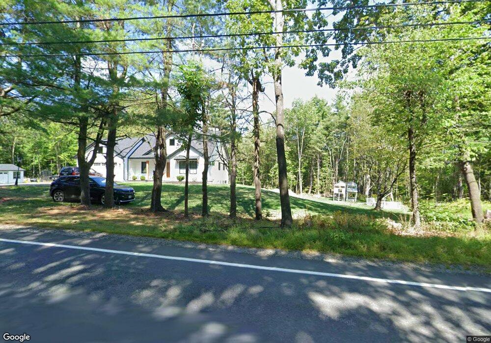
15 Fairbanks Rd New Ipswich, NH 03071
Estimated Value: $544,000 - $600,000
3
Beds
3
Baths
2,452
Sq Ft
$229/Sq Ft
Est. Value
About This Home
This home is located at 15 Fairbanks Rd, New Ipswich, NH 03071 and is currently estimated at $560,411, approximately $228 per square foot. 15 Fairbanks Rd is a home with nearby schools including Highbridge Hill Elementary School, Boynton Middle School, and Mascenic Regional High School.
Ownership History
Date
Name
Owned For
Owner Type
Purchase Details
Closed on
Mar 12, 2025
Sold by
Koukkari Nathan D and Koukkari Amy K
Bought by
N D & Amy K Koukkari Ret and Koukkari
Current Estimated Value
Purchase Details
Closed on
May 17, 2018
Sold by
Koukkari Nathan D and Koukkari Amy K
Bought by
Somero Earl R and Somero Maria J
Home Financials for this Owner
Home Financials are based on the most recent Mortgage that was taken out on this home.
Original Mortgage
$65,500
Interest Rate
4.4%
Mortgage Type
New Conventional
Create a Home Valuation Report for This Property
The Home Valuation Report is an in-depth analysis detailing your home's value as well as a comparison with similar homes in the area
Home Values in the Area
Average Home Value in this Area
Purchase History
| Date | Buyer | Sale Price | Title Company |
|---|---|---|---|
| N D & Amy K Koukkari Ret | -- | None Available | |
| Somero Earl R | -- | -- | |
| Somero Earl R | -- | -- |
Source: Public Records
Mortgage History
| Date | Status | Borrower | Loan Amount |
|---|---|---|---|
| Previous Owner | Somero Earl R | $65,500 |
Source: Public Records
Tax History Compared to Growth
Tax History
| Year | Tax Paid | Tax Assessment Tax Assessment Total Assessment is a certain percentage of the fair market value that is determined by local assessors to be the total taxable value of land and additions on the property. | Land | Improvement |
|---|---|---|---|---|
| 2024 | $7,529 | $494,700 | $117,400 | $377,300 |
| 2023 | $7,199 | $280,100 | $63,000 | $217,100 |
| 2022 | $6,585 | $280,100 | $63,000 | $217,100 |
| 2021 | $6,224 | $280,100 | $63,000 | $217,100 |
| 2020 | $5,952 | $280,100 | $63,000 | $217,100 |
| 2019 | $6,087 | $280,100 | $63,000 | $217,100 |
| 2018 | $6,194 | $221,200 | $56,400 | $164,800 |
| 2017 | $5,906 | $221,200 | $56,400 | $164,800 |
| 2016 | $5,802 | $221,200 | $56,400 | $164,800 |
| 2015 | $6,174 | $221,200 | $56,400 | $164,800 |
| 2014 | $6,132 | $221,200 | $56,400 | $164,800 |
| 2013 | $5,510 | $246,200 | $84,200 | $162,000 |
Source: Public Records
Map
Nearby Homes
- 00 Turnpike Rd
- 248 Turnpike Rd
- 55 Bartons Ridge Rd
- 87 Laurel Dr
- 68 Old Hillcrest Dr
- 3 Bartons Ridge Rd
- 39 Old Ashby Rd
- 16 River St
- 16 River St Unit 16-18
- 2 Cascade Dr Unit LOT 2
- 31 Cascade Dr Unit 31
- 36 Mill St
- 15 King Rd
- 49 Adams Ave
- 45 Temple Rd
- 75 Merriam Hill Rd
- 55 Main St
- 169 Old Wilton Rd
- 23 Greenbriar Rd
- 155 Old Wilton Rd
- 32 Fairbanks Rd
- 109 Turnpike Rd
- 16 Fairbanks Rd
- 6 Fairbanks Rd
- 36 Fairbanks Rd
- 127 Turnpike Rd
- 112 Turnpike Rd
- 124 Turnpike Rd
- 98 Turnpike Rd
- 65 Turnpike Rd
- 550 Old Country Rd
- 76 Turnpike Rd
- 140 Turnpike Rd
- 154 Turnpike Rd
- 63 Turnpike Rd
- 561 Old Country Rd
- 561 Old Country Rd
- - Turnpike Rd
- 142 Turnpike Rd
- Map J Lot 11-2 Turnpike Rd