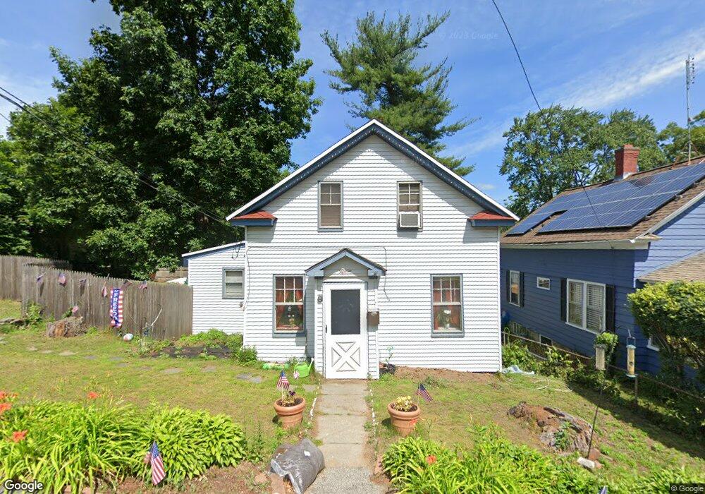
15 Forest Dr Auburn, MA 01501
Stoneville NeighborhoodEstimated Value: $324,000 - $387,000
3
Beds
2
Baths
792
Sq Ft
$442/Sq Ft
Est. Value
About This Home
This home is located at 15 Forest Dr, Auburn, MA 01501 and is currently estimated at $349,966, approximately $441 per square foot. 15 Forest Dr is a home located in Worcester County with nearby schools including Auburn Senior High School, Canterbury Street School, and Shrewsbury Montessori School - Auburn Campus.
Ownership History
Date
Name
Owned For
Owner Type
Purchase Details
Closed on
Jun 28, 2004
Sold by
Brierly Ft and Trilligan Helen E
Bought by
Dupont Kathleen
Current Estimated Value
Home Financials for this Owner
Home Financials are based on the most recent Mortgage that was taken out on this home.
Original Mortgage
$229,400
Outstanding Balance
$115,354
Interest Rate
6.32%
Mortgage Type
Purchase Money Mortgage
Estimated Equity
$234,612
Purchase Details
Closed on
Jul 27, 1998
Sold by
Riel Vicki M
Bought by
Riel Norman P
Home Financials for this Owner
Home Financials are based on the most recent Mortgage that was taken out on this home.
Original Mortgage
$10,000
Interest Rate
6.99%
Mortgage Type
Purchase Money Mortgage
Purchase Details
Closed on
Jul 27, 1993
Sold by
Kolodziejczak Yolanda
Bought by
Riel Norman and Riel Vicki
Home Financials for this Owner
Home Financials are based on the most recent Mortgage that was taken out on this home.
Original Mortgage
$80,700
Interest Rate
7.43%
Mortgage Type
Purchase Money Mortgage
Create a Home Valuation Report for This Property
The Home Valuation Report is an in-depth analysis detailing your home's value as well as a comparison with similar homes in the area
Home Values in the Area
Average Home Value in this Area
Purchase History
| Date | Buyer | Sale Price | Title Company |
|---|---|---|---|
| Dupont Kathleen | $229,900 | -- | |
| Riel Norman P | $75,661 | -- | |
| Riel Norman | $85,000 | -- |
Source: Public Records
Mortgage History
| Date | Status | Borrower | Loan Amount |
|---|---|---|---|
| Open | Dupont Kathleen | $229,400 | |
| Previous Owner | Riel Norman | $96,000 | |
| Previous Owner | Riel Norman | $90,000 | |
| Previous Owner | Riel Norman | $10,000 | |
| Previous Owner | Riel Norman | $80,700 |
Source: Public Records
Tax History Compared to Growth
Tax History
| Year | Tax Paid | Tax Assessment Tax Assessment Total Assessment is a certain percentage of the fair market value that is determined by local assessors to be the total taxable value of land and additions on the property. | Land | Improvement |
|---|---|---|---|---|
| 2025 | $36 | $252,600 | $105,800 | $146,800 |
| 2024 | $3,462 | $231,900 | $100,000 | $131,900 |
| 2023 | $3,422 | $215,500 | $90,900 | $124,600 |
| 2022 | $3,288 | $195,500 | $90,900 | $104,600 |
| 2021 | $2,921 | $161,000 | $80,200 | $80,800 |
| 2020 | $0 | $156,300 | $80,200 | $76,100 |
| 2019 | $2,734 | $148,400 | $75,200 | $73,200 |
| 2018 | $2,506 | $135,900 | $70,300 | $65,600 |
| 2017 | $2,355 | $128,400 | $63,800 | $64,600 |
| 2016 | $2,303 | $127,300 | $66,000 | $61,300 |
| 2015 | $2,176 | $126,100 | $66,000 | $60,100 |
| 2014 | $2,139 | $123,700 | $63,000 | $60,700 |
Source: Public Records
Map
Nearby Homes
- 9 Forest Dr
- 17 Forest Dr
- 1201 Forest Hills Dr Unit 57
- 13 Forest Dr Unit 13
- 14 Shore Dr
- 12 Shore Dr
- 14 Forest Dr
- 5 Forest Dr
- 10 Shore Dr
- 18 Forest Dr
- 12 Forest Dr
- 21 Forest Dr
- 8 Forest Dr
- 3 Alpine Trail
- 30 Forest Dr Unit 30
- 26 Forest Dr Unit 202 26
- 7 Forest Dr Unit 7, 501
- 11 Shore Dr
- 23 Shore Dr
- 16 Ravine Dr