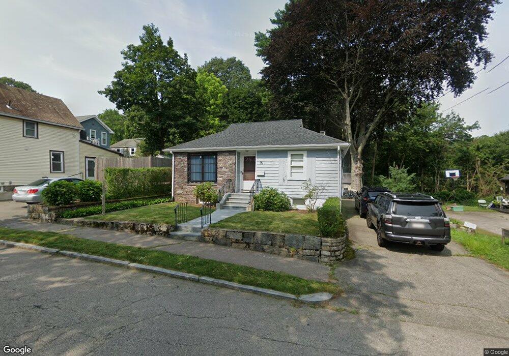
15 Frederick St Quincy, MA 02169
Estimated Value: $480,000 - $628,000
2
Beds
3
Baths
1,084
Sq Ft
$512/Sq Ft
Est. Value
About This Home
This home is located at 15 Frederick St, Quincy, MA 02169 and is currently estimated at $554,505, approximately $511 per square foot. 15 Frederick St is a home located in Norfolk County with nearby schools including South West Middle School, Lincoln-Hancock Community School, and Quincy High School.
Ownership History
Date
Name
Owned For
Owner Type
Purchase Details
Closed on
Oct 31, 2008
Sold by
Brunet Denise A
Bought by
Lopes Christopher A
Current Estimated Value
Home Financials for this Owner
Home Financials are based on the most recent Mortgage that was taken out on this home.
Original Mortgage
$235,350
Outstanding Balance
$152,568
Interest Rate
5.83%
Mortgage Type
Purchase Money Mortgage
Estimated Equity
$401,937
Create a Home Valuation Report for This Property
The Home Valuation Report is an in-depth analysis detailing your home's value as well as a comparison with similar homes in the area
Purchase History
| Date | Buyer | Sale Price | Title Company |
|---|---|---|---|
| Lopes Christopher A | $261,500 | -- |
Source: Public Records
Mortgage History
| Date | Status | Borrower | Loan Amount |
|---|---|---|---|
| Open | Lopes Christopher A | $235,350 |
Source: Public Records
Tax History
| Year | Tax Paid | Tax Assessment Tax Assessment Total Assessment is a certain percentage of the fair market value that is determined by local assessors to be the total taxable value of land and additions on the property. | Land | Improvement |
|---|---|---|---|---|
| 2025 | $6,300 | $546,400 | $271,900 | $274,500 |
| 2024 | $6,087 | $540,100 | $258,900 | $281,200 |
| 2023 | $5,801 | $521,200 | $246,600 | $274,600 |
| 2022 | $5,537 | $462,200 | $197,300 | $264,900 |
| 2021 | $4,807 | $396,000 | $197,300 | $198,700 |
| 2020 | $4,201 | $338,000 | $197,300 | $140,700 |
| 2019 | $4,160 | $331,500 | $191,500 | $140,000 |
| 2018 | $4,062 | $304,500 | $177,300 | $127,200 |
| 2017 | $3,972 | $280,300 | $168,900 | $111,400 |
| 2016 | $3,718 | $258,900 | $153,500 | $105,400 |
| 2015 | $3,524 | $241,400 | $144,800 | $96,600 |
| 2014 | $3,546 | $238,600 | $144,800 | $93,800 |
Source: Public Records
Map
Nearby Homes
- 211 West St Unit 11B
- 510 Willard St
- 459 Willard St Unit 303
- 9 Westford St
- 25 McDonald St
- 211 Copeland St
- 87 Village Dr
- 40 Cross St Unit 1
- 39 Cross St
- 132 Centre St
- 51 Branch St Unit 2
- 51 Branch St Unit 3
- 230 Willard St Unit 102
- 21 Arthur St
- 12 Nelson St
- 21 Totman St Unit 205
- 21 Totman St Unit 404
- 21 Totman St Unit 309
- 21 Totman St Unit 409
- 21 Totman St Unit 203
- 9 Frederick St
- 3 Frederick St
- 106 Bunker Hill Ln
- 110 Bunker Hill Ln
- 16 Frederick St
- 22 Frederick St
- 10 Frederick St
- 114 Bunker Hill Ln
- 4 Frederick St
- 107 Bunker Hill Ln
- 23 Helene St
- 15 Helene St
- 23 Adele Rd
- 124 Bunker Hill Ln
- 115 Bunker Hill Ln
- 9 Helene St
- 35 Adele Rd
- 117 Bunker Hill Ln
- 5 Helene St
- 41 Adele Rd
Your Personal Tour Guide
Ask me questions while you tour the home.