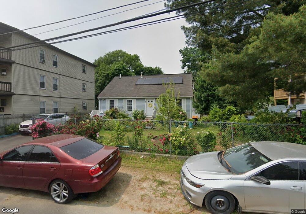
15 Irvington St Brockton, MA 02301
Campello NeighborhoodEstimated Value: $468,000 - $516,000
3
Beds
1
Bath
1,236
Sq Ft
$401/Sq Ft
Est. Value
About This Home
This home is located at 15 Irvington St, Brockton, MA 02301 and is currently estimated at $495,617, approximately $400 per square foot. 15 Irvington St is a home located in Plymouth County with nearby schools including Davis K-8 School, John F. Kennedy Elementary School, and South Middle School.
Ownership History
Date
Name
Owned For
Owner Type
Purchase Details
Closed on
Jun 9, 2017
Sold by
Fortes Pedro and Fortes Rosa
Bought by
Fortes Rosa
Current Estimated Value
Purchase Details
Closed on
Aug 29, 2002
Sold by
Ferrone Dev Llc
Bought by
Fortes Pedro and Fortes Rosa
Home Financials for this Owner
Home Financials are based on the most recent Mortgage that was taken out on this home.
Original Mortgage
$111,900
Interest Rate
6.55%
Mortgage Type
Purchase Money Mortgage
Create a Home Valuation Report for This Property
The Home Valuation Report is an in-depth analysis detailing your home's value as well as a comparison with similar homes in the area
Home Values in the Area
Average Home Value in this Area
Purchase History
| Date | Buyer | Sale Price | Title Company |
|---|---|---|---|
| Fortes Rosa | -- | -- | |
| Fortes Pedro | $210,900 | -- |
Source: Public Records
Mortgage History
| Date | Status | Borrower | Loan Amount |
|---|---|---|---|
| Previous Owner | Fortes Pedro | $111,900 |
Source: Public Records
Tax History Compared to Growth
Tax History
| Year | Tax Paid | Tax Assessment Tax Assessment Total Assessment is a certain percentage of the fair market value that is determined by local assessors to be the total taxable value of land and additions on the property. | Land | Improvement |
|---|---|---|---|---|
| 2025 | $5,104 | $421,500 | $140,700 | $280,800 |
| 2024 | $4,955 | $412,200 | $140,700 | $271,500 |
| 2023 | $4,822 | $371,500 | $107,100 | $264,400 |
| 2022 | $4,500 | $322,100 | $97,400 | $224,700 |
| 2021 | $4,263 | $294,000 | $81,500 | $212,500 |
| 2020 | $4,210 | $277,900 | $75,800 | $202,100 |
| 2019 | $3,818 | $245,700 | $73,700 | $172,000 |
| 2018 | $3,230 | $221,900 | $73,700 | $148,200 |
| 2017 | $3,230 | $200,600 | $73,700 | $126,900 |
| 2016 | $3,614 | $208,200 | $71,700 | $136,500 |
| 2015 | $3,256 | $179,400 | $71,700 | $107,700 |
| 2014 | $3,291 | $181,500 | $71,700 | $109,800 |
Source: Public Records
Map
Nearby Homes
- 115 Market St
- 35 Longworth Ave Unit 17
- 47 Southworth St
- 15 Longworth Ave Unit 231
- 223 Clinton St Unit 10
- 223 Clinton St Unit 3
- 65 Tremont St
- 163 S Leyden St
- 977 Warren Ave
- 358 Copeland St
- 936 Warren Ave
- 137 Channing Ave
- 103 Clinton St
- 13 Finny's Way
- 153 Bouve Ave
- 176 Ettrick St
- 15 Fieldstone Dr
- 37 Menlo Ave
- 15 1st St
- 44 Baker St
- 21 Irvington St
- 11 Irvington St
- 27 Irvington St
- 7 Irvington St
- 7 Irvington St Unit 3
- 7 Irvington St Unit 2
- 66 Glen Ave
- 72 Glen Ave
- 16 Irvington St
- 33 Irvington St
- 23 Kenwood St
- 60 Glen Ave
- 0 Irvington St
- 8 Irvington St
- 48 Glen Ave
- 39 Irvington St
- 17 Kenwood St
- 78 Glen Ave
- 44 Glen Ave
- 44 Glen Ave Unit 2