15 Jonathan Rd Mansfield, MA 02048
Estimated Value: $887,652 - $1,090,000
4
Beds
3
Baths
2,618
Sq Ft
$385/Sq Ft
Est. Value
About This Home
This home is located at 15 Jonathan Rd, Mansfield, MA 02048 and is currently estimated at $1,008,663, approximately $385 per square foot. 15 Jonathan Rd is a home located in Bristol County with nearby schools including Jordan/Jackson Elementary School, Everett W. Robinson Elementary School, and Harold L. Qualters Middle School.
Ownership History
Date
Name
Owned For
Owner Type
Purchase Details
Closed on
Mar 22, 2002
Sold by
Dunlap Christian P and Dunlap Shari L
Bought by
Costello David and Costello Virginia
Current Estimated Value
Purchase Details
Closed on
Oct 30, 1992
Sold by
East Coast Dev Ltd
Bought by
Dunlap Christian P and Baltz Shari L
Create a Home Valuation Report for This Property
The Home Valuation Report is an in-depth analysis detailing your home's value as well as a comparison with similar homes in the area
Home Values in the Area
Average Home Value in this Area
Purchase History
| Date | Buyer | Sale Price | Title Company |
|---|---|---|---|
| Costello David | $440,000 | -- | |
| Dunlap Christian P | $189,350 | -- |
Source: Public Records
Mortgage History
| Date | Status | Borrower | Loan Amount |
|---|---|---|---|
| Open | Dunlap Christian P | $100,000 | |
| Open | Dunlap Christian P | $208,000 |
Source: Public Records
Tax History
| Year | Tax Paid | Tax Assessment Tax Assessment Total Assessment is a certain percentage of the fair market value that is determined by local assessors to be the total taxable value of land and additions on the property. | Land | Improvement |
|---|---|---|---|---|
| 2025 | $10,557 | $801,600 | $292,800 | $508,800 |
| 2024 | $10,151 | $751,900 | $305,500 | $446,400 |
| 2023 | $9,794 | $695,100 | $305,500 | $389,600 |
| 2022 | $9,377 | $618,100 | $283,000 | $335,100 |
| 2021 | $4,758 | $569,700 | $235,800 | $333,900 |
| 2020 | $8,614 | $560,800 | $235,800 | $325,000 |
| 2019 | $8,039 | $528,200 | $196,600 | $331,600 |
| 2018 | $5,935 | $513,300 | $187,700 | $325,600 |
| 2017 | $7,496 | $499,100 | $182,500 | $316,600 |
| 2016 | $7,052 | $457,600 | $173,600 | $284,000 |
| 2015 | $6,868 | $443,100 | $173,600 | $269,500 |
Source: Public Records
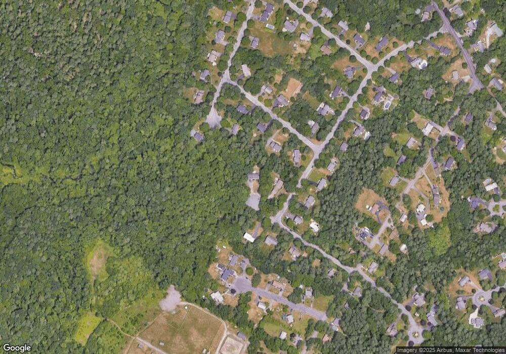
Map
Nearby Homes
- 212 Mill St
- 14 Windchime Dr
- 1 Deer Path Ln
- 7 Fieldstone Dr
- 0 Kensington Rd
- 4 Erick Rd Unit 90
- 157 Highland St
- 15 Coach Rd
- 104 Newcomb St Unit E
- 19 Barberry Rd
- 97 East St
- 46 Hope St
- 1 Wilbur Terrace Unit 6
- 34 Kevins Way
- 0 Cobb St
- 44 Fairfield Park Unit 44
- 0 Brook Pkwy
- 21 Juniper Rd
- 26 Kathleen Grant Rd
- 268 Reservoir St
- 35 Sandy Hill Rd
- 6 Elizabeth Rd
- 10 Elizabeth Rd
- 31 Sandy Hill Rd
- 24 Matthew Ln
- 12 Jonathan Rd
- 28 Matthew Ln
- 36 Sandy Hill Rd
- 5 Jonathan Rd
- 14 Elizabeth Rd
- 8 Jonathan Rd
- 32 Sandy Hill Rd
- 23 Sandy Hill Rd
- 28 Sandy Hill Rd
- 11 Heritage Ln Unit 13
- 13 Heritage Ln
- 11 Elizabeth Rd
- 4 Jonathan Rd
- 23 Matthew Ln
- 19 Sandy Hill Rd
Your Personal Tour Guide
Ask me questions while you tour the home.