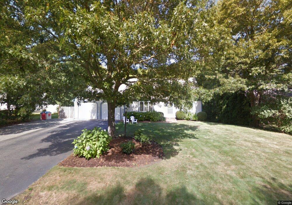
15 Judith Eve Ln Centerville, MA 02632
Centerville NeighborhoodEstimated Value: $768,589 - $1,260,000
3
Beds
3
Baths
2,346
Sq Ft
$393/Sq Ft
Est. Value
About This Home
This home is located at 15 Judith Eve Ln, Centerville, MA 02632 and is currently estimated at $922,397, approximately $393 per square foot. 15 Judith Eve Ln is a home located in Barnstable County with nearby schools including Centerville Elementary School, Barnstable United Elementary School, and Barnstable Intermediate School.
Ownership History
Date
Name
Owned For
Owner Type
Purchase Details
Closed on
Nov 9, 2007
Sold by
Brown David B
Bought by
David B Brown Lt
Current Estimated Value
Purchase Details
Closed on
Nov 10, 1988
Sold by
Roberts Rosemary
Bought by
David Bldg Trust
Home Financials for this Owner
Home Financials are based on the most recent Mortgage that was taken out on this home.
Original Mortgage
$60,000
Interest Rate
10.36%
Mortgage Type
Purchase Money Mortgage
Create a Home Valuation Report for This Property
The Home Valuation Report is an in-depth analysis detailing your home's value as well as a comparison with similar homes in the area
Home Values in the Area
Average Home Value in this Area
Purchase History
| Date | Buyer | Sale Price | Title Company |
|---|---|---|---|
| David B Brown Lt | -- | -- | |
| David Bldg Trust | $67,500 | -- |
Source: Public Records
Mortgage History
| Date | Status | Borrower | Loan Amount |
|---|---|---|---|
| Open | David Bldg Trust | $200,000 | |
| Previous Owner | David Bldg Trust | $150,000 | |
| Previous Owner | David Bldg Trust | $60,000 |
Source: Public Records
Tax History Compared to Growth
Tax History
| Year | Tax Paid | Tax Assessment Tax Assessment Total Assessment is a certain percentage of the fair market value that is determined by local assessors to be the total taxable value of land and additions on the property. | Land | Improvement |
|---|---|---|---|---|
| 2025 | $6,395 | $790,500 | $151,900 | $638,600 |
| 2024 | $5,909 | $756,600 | $151,900 | $604,700 |
| 2023 | $5,684 | $681,500 | $138,100 | $543,400 |
| 2022 | $5,396 | $559,700 | $102,300 | $457,400 |
| 2021 | $5,225 | $498,100 | $102,300 | $395,800 |
| 2020 | $5,140 | $469,000 | $102,300 | $366,700 |
| 2019 | $4,883 | $432,900 | $102,300 | $330,600 |
| 2018 | $4,418 | $393,800 | $107,700 | $286,100 |
| 2017 | $4,098 | $380,900 | $107,700 | $273,200 |
| 2016 | $4,161 | $381,700 | $108,500 | $273,200 |
| 2015 | $4,003 | $368,900 | $105,100 | $263,800 |
Source: Public Records
Map
Nearby Homes
- 66 Tern Ln
- 73 Tern Ln
- 62 Three Ponds Dr
- 900 Old Stage Rd
- 296 Buckskin Path
- 81 Monomoy Cir
- 315 Prince Hinckley Rd
- 40 Appaloosa Way
- 29 Summerwind Ln
- 87 Foxglove Rd
- 1044 Old Falmouth Rd
- 88 Joe Thompson Rd
- 1028 Old Falmouth Rd
- 74 Saddler Ln
- 80 Saddler Ln
- 21 Shannon Way
- 205 James Otis Rd
- 50 Currycomb Cir
- 22 Cranberry Ln
- 16 Bridgets Path
- 53 High Noon Dr
- 26 Judith Eve Ln
- 25 Judith Eve Ln
- 69 High Noon Dr
- 76 High Noon Dr
- 33 High Noon Dr
- 33 High Noon Dr Unit E
- 30 Judith Eve Ln
- 6 Judith Eve Ln
- 60 High Noon Dr
- 40 High Noon Dr
- 223 Rolling Hitch Rd
- 209 Rolling Hitch Rd
- 235 Rolling Hitch Rd
- 19 High Noon Dr
- 364 White Oak Trail
- 366 White Oak Trail
- 351 Gleneagle Dr
- 242 Rolling Hitch Rd
- 197 Rolling Hitch Rd