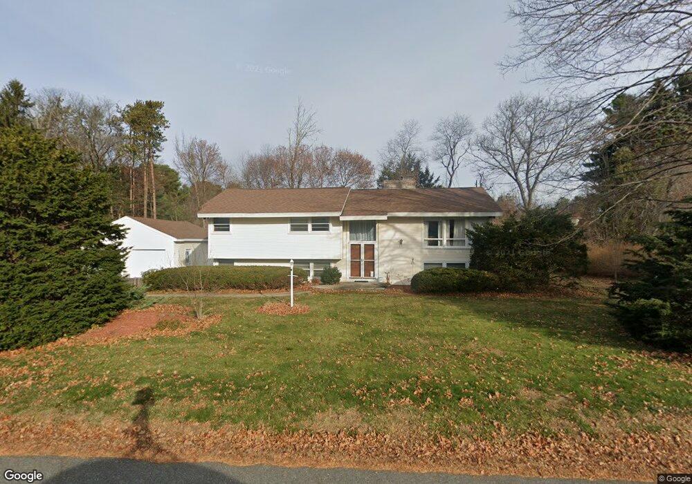
15 Kirkland Dr Andover, MA 01810
Shawsheen Heights NeighborhoodEstimated Value: $989,453 - $1,061,000
3
Beds
2
Baths
3,227
Sq Ft
$316/Sq Ft
Est. Value
About This Home
This home is located at 15 Kirkland Dr, Andover, MA 01810 and is currently estimated at $1,019,613, approximately $315 per square foot. 15 Kirkland Dr is a home located in Essex County with nearby schools including West Elementary School, Andover West Middle School, and Andover High School.
Ownership History
Date
Name
Owned For
Owner Type
Purchase Details
Closed on
Oct 26, 2007
Sold by
Pelnik Jacqueline L and Xiang Xiaoqin
Bought by
Xiao Feng and Xiang Xiaoqin
Current Estimated Value
Home Financials for this Owner
Home Financials are based on the most recent Mortgage that was taken out on this home.
Original Mortgage
$376,800
Interest Rate
6.39%
Mortgage Type
Purchase Money Mortgage
Purchase Details
Closed on
Jul 14, 2000
Sold by
Nelson Larry A and Nelson Loetitia M
Bought by
Pelnik Jacqueline J
Purchase Details
Closed on
Jul 30, 1992
Sold by
Lynch George E
Bought by
Nelson Larry A
Purchase Details
Closed on
Sep 25, 1987
Sold by
Rourke Raymond R
Bought by
Lynch George E
Create a Home Valuation Report for This Property
The Home Valuation Report is an in-depth analysis detailing your home's value as well as a comparison with similar homes in the area
Home Values in the Area
Average Home Value in this Area
Purchase History
| Date | Buyer | Sale Price | Title Company |
|---|---|---|---|
| Xiao Feng | $471,000 | -- | |
| Pelnik Jacqueline J | $350,000 | -- | |
| Nelson Larry A | $241,000 | -- | |
| Lynch George E | $259,900 | -- |
Source: Public Records
Mortgage History
| Date | Status | Borrower | Loan Amount |
|---|---|---|---|
| Open | Lynch George E | $333,000 | |
| Closed | Lynch George E | $361,000 | |
| Closed | Xiao Feng | $376,800 | |
| Previous Owner | Lynch George E | $100,000 |
Source: Public Records
Tax History Compared to Growth
Tax History
| Year | Tax Paid | Tax Assessment Tax Assessment Total Assessment is a certain percentage of the fair market value that is determined by local assessors to be the total taxable value of land and additions on the property. | Land | Improvement |
|---|---|---|---|---|
| 2024 | $9,706 | $753,600 | $461,700 | $291,900 |
| 2023 | $9,369 | $685,900 | $415,800 | $270,100 |
| 2022 | $8,613 | $589,900 | $361,600 | $228,300 |
| 2021 | $8,238 | $538,800 | $328,800 | $210,000 |
| 2020 | $7,900 | $526,300 | $320,800 | $205,500 |
| 2019 | $7,757 | $508,000 | $311,300 | $196,700 |
| 2018 | $7,515 | $480,500 | $299,500 | $181,000 |
| 2017 | $7,179 | $472,900 | $293,500 | $179,400 |
| 2016 | $7,008 | $472,900 | $293,500 | $179,400 |
| 2015 | $6,756 | $451,300 | $282,100 | $169,200 |
Source: Public Records
Map
Nearby Homes
- 37 Crenshaw Ln Unit 37
- 25 Clubview Dr Unit 25
- 13 Clubview Dr Unit 13
- 38 Lincoln Cir E
- 21 Clubview Dr Unit 21
- 10 Martingale Ln Unit 10
- 42 Stevens St
- 5 Castle Heights Rd
- 6 Windsor St
- 2 Powder Mill Square Unit 2B
- 96 Beacon St
- 5 Marc Ln
- 20 Walnut Ave
- 29 Glenwood Dr
- 102 Weare St
- 0
- Lot 7 Weeping Willow Dr
- 437 N Main St Unit C
- 10 Maple Ave Unit 3
- 105 Central St