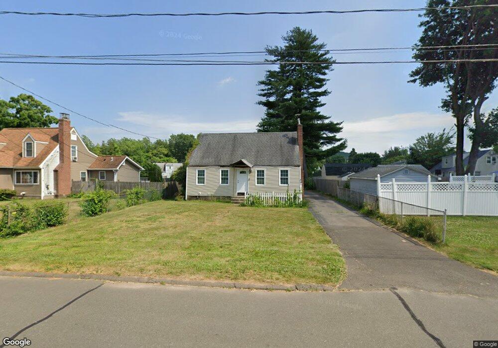
15 Lyondale Rd Newington, CT 06111
Estimated Value: $343,833 - $369,000
3
Beds
2
Baths
1,285
Sq Ft
$275/Sq Ft
Est. Value
About This Home
This home is located at 15 Lyondale Rd, Newington, CT 06111 and is currently estimated at $353,458, approximately $275 per square foot. 15 Lyondale Rd is a home located in Hartford County with nearby schools including Elizabeth Green School, Martin Kellogg Middle School, and Newington High School.
Ownership History
Date
Name
Owned For
Owner Type
Purchase Details
Closed on
Sep 12, 2005
Sold by
Dunn Susan C
Bought by
Langille Gerald K
Current Estimated Value
Home Financials for this Owner
Home Financials are based on the most recent Mortgage that was taken out on this home.
Original Mortgage
$135,000
Outstanding Balance
$70,187
Interest Rate
5.5%
Estimated Equity
$283,271
Purchase Details
Closed on
Apr 29, 1988
Sold by
Devecchis Peter W
Bought by
Dunn Raymond M
Create a Home Valuation Report for This Property
The Home Valuation Report is an in-depth analysis detailing your home's value as well as a comparison with similar homes in the area
Home Values in the Area
Average Home Value in this Area
Purchase History
| Date | Buyer | Sale Price | Title Company |
|---|---|---|---|
| Langille Gerald K | $190,000 | -- | |
| Dunn Raymond M | $172,000 | -- |
Source: Public Records
Mortgage History
| Date | Status | Borrower | Loan Amount |
|---|---|---|---|
| Open | Dunn Raymond M | $25,000 | |
| Open | Dunn Raymond M | $135,000 | |
| Previous Owner | Dunn Raymond M | $103,500 | |
| Previous Owner | Dunn Raymond M | $99,000 |
Source: Public Records
Tax History Compared to Growth
Tax History
| Year | Tax Paid | Tax Assessment Tax Assessment Total Assessment is a certain percentage of the fair market value that is determined by local assessors to be the total taxable value of land and additions on the property. | Land | Improvement |
|---|---|---|---|---|
| 2025 | $5,406 | $135,230 | $52,420 | $82,810 |
| 2024 | $5,365 | $135,230 | $52,420 | $82,810 |
| 2023 | $5,187 | $135,230 | $52,420 | $82,810 |
| 2022 | $5,205 | $135,230 | $52,420 | $82,810 |
| 2021 | $5,248 | $135,230 | $52,420 | $82,810 |
| 2020 | $5,022 | $127,840 | $50,390 | $77,450 |
| 2019 | $5,043 | $127,840 | $50,390 | $77,450 |
| 2018 | $4,922 | $127,840 | $50,390 | $77,450 |
| 2017 | $4,678 | $127,840 | $50,390 | $77,450 |
| 2016 | $4,570 | $127,840 | $50,390 | $77,450 |
| 2014 | $4,266 | $122,700 | $50,780 | $71,920 |
Source: Public Records
Map
Nearby Homes
- 70 Cedar Ridge Rd
- 559 Mountain Rd
- 377 Connecticut Ave
- 263 Williamstown Ct
- 37 Commonwealth Ave
- 29 Sunnyside Rd
- 93 Marion St Unit 3
- 47 Francis Dr
- 27 Harding Ave
- 35 Harding Ave
- 43 Marion St
- 193 Connecticut Ave
- 161 Abbotsford Ave
- 42 Schoolhouse Crossing
- 127 Hollywood Ave
- 140 Camp Ave
- 35 Tinsmith Crossing Unit 35
- 90 Meriline Ave
- 38 Potter Crossing
- 105 Gilbert Rd
- 21 Lyondale Rd
- 62 Garvan St
- 5 Lyondale Rd
- 66 Garvan St
- 27 Lyondale Rd
- 72 Garvan St
- 475 Connecticut Ave
- 6 Lyondale Rd
- 481 Connecticut Ave
- 114 Piper Brook Ave
- 16 Lyondale Rd
- 485 Connecticut Ave
- 20 Lyondale Rd
- 46 Garvan St
- 122 Piper Brook Ave
- 33 Lyondale Rd
- 24 Lyondale Rd
- 120 Piper Brook Ave
- 491 Connecticut Ave
- 92 Piper Brook Ave