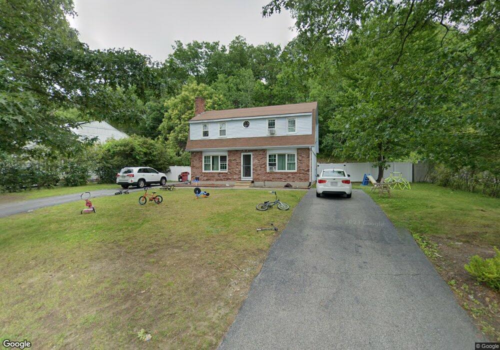
15 Macarthur Dr Millbury, MA 01527
Estimated Value: $418,000 - $526,000
4
Beds
2
Baths
2,448
Sq Ft
$201/Sq Ft
Est. Value
About This Home
This home is located at 15 Macarthur Dr, Millbury, MA 01527 and is currently estimated at $493,156, approximately $201 per square foot. 15 Macarthur Dr is a home located in Worcester County with nearby schools including Elmwood Street Elementary School, Raymond E. Shaw Elementary School, and Millbury Junior/Senior High School.
Ownership History
Date
Name
Owned For
Owner Type
Purchase Details
Closed on
Jan 17, 2008
Sold by
Savage Michael J
Bought by
Fisak Joel A
Current Estimated Value
Home Financials for this Owner
Home Financials are based on the most recent Mortgage that was taken out on this home.
Original Mortgage
$280,596
Outstanding Balance
$175,821
Interest Rate
6.02%
Mortgage Type
Purchase Money Mortgage
Estimated Equity
$317,335
Create a Home Valuation Report for This Property
The Home Valuation Report is an in-depth analysis detailing your home's value as well as a comparison with similar homes in the area
Home Values in the Area
Average Home Value in this Area
Purchase History
| Date | Buyer | Sale Price | Title Company |
|---|---|---|---|
| Fisak Joel A | $285,000 | -- |
Source: Public Records
Mortgage History
| Date | Status | Borrower | Loan Amount |
|---|---|---|---|
| Open | Fisak Joel A | $280,596 |
Source: Public Records
Tax History
| Year | Tax Paid | Tax Assessment Tax Assessment Total Assessment is a certain percentage of the fair market value that is determined by local assessors to be the total taxable value of land and additions on the property. | Land | Improvement |
|---|---|---|---|---|
| 2025 | $6,182 | $461,700 | $128,700 | $333,000 |
| 2024 | $5,308 | $401,200 | $119,200 | $282,000 |
| 2023 | $4,800 | $332,200 | $83,400 | $248,800 |
| 2022 | $4,376 | $291,700 | $83,400 | $208,300 |
| 2021 | $4,194 | $271,800 | $83,400 | $188,400 |
| 2020 | $4,112 | $268,200 | $83,400 | $184,800 |
| 2019 | $3,842 | $242,400 | $75,700 | $166,700 |
| 2018 | $3,606 | $220,700 | $75,700 | $145,000 |
| 2017 | $3,626 | $220,700 | $75,700 | $145,000 |
| 2016 | $3,462 | $210,300 | $75,700 | $134,600 |
| 2015 | $3,396 | $206,300 | $80,400 | $125,900 |
| 2014 | $3,258 | $190,500 | $80,400 | $110,100 |
Source: Public Records
Map
Nearby Homes
- 2 Diane St
- 12 Irene Ct
- 25 Upton St
- 300 Millbury Ave
- 2 Wilson Rd Unit B
- 2 Wilson Rd Unit A
- 11 Maplewood Rd
- 1459 Grafton Rd
- 4 John Dr
- 2 Riverlin Pkwy
- 5 Ann Dr Unit 5
- 5 Lincoln Ln Unit 5
- 6 Nathaniel St
- 1260 Grafton St
- 7 Clarissa St
- 9 Marissa Cir
- 1195 Grafton St Unit 29
- 1195 Grafton St Unit 19
- 1195 Grafton St Unit 39
- 12 Bruce St
- 13 Macarthur Dr Unit A
- 13 Macarthur Dr Unit B
- 17 Macarthur Dr Unit A
- 11 B Macarthur Dr
- 11 Macarthur Dr Unit A
- 11 Macarthur Dr Unit B
- 11 Macarthur Dr
- 40 Tiffany Cir
- 39 Tiffany Cir
- 19 Macarthur Dr
- 4 Tiffany Cir
- 3 Tiffany Cir
- 2 Tiffany Cir
- 1 Tiffany Cir
- 44 Tiffany Cir
- 43 Tiffany Cir
- 42 Tiffany Cir
- 41 Tiffany Cir
- 42 Tiffany Cir Unit M-42
- 41 Tiffany Cir Unit 41
Your Personal Tour Guide
Ask me questions while you tour the home.