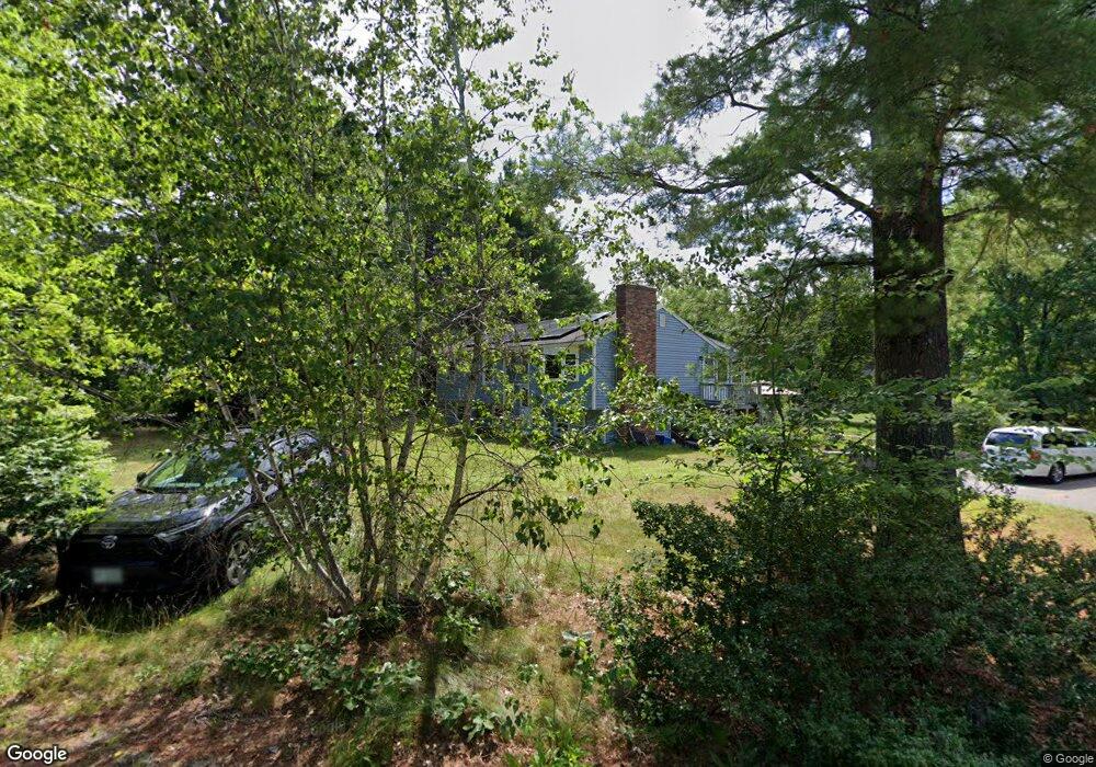
15 Meadow Ln Amherst, NH 03031
Estimated Value: $494,000 - $541,556
3
Beds
2
Baths
1,516
Sq Ft
$347/Sq Ft
Est. Value
About This Home
This home is located at 15 Meadow Ln, Amherst, NH 03031 and is currently estimated at $525,639, approximately $346 per square foot. 15 Meadow Ln is a home located in Hillsborough County with nearby schools including Wilkins Elementary School, Amherst Middle School, and Souhegan Cooperative High School.
Ownership History
Date
Name
Owned For
Owner Type
Purchase Details
Closed on
Sep 6, 2013
Sold by
Kalhori Nasreen Cm
Bought by
Chabot Dorothy S and Chabot Marcel
Current Estimated Value
Purchase Details
Closed on
Apr 29, 2009
Sold by
Oconnell Eileen F
Bought by
Kalhori Nasreen C M
Home Financials for this Owner
Home Financials are based on the most recent Mortgage that was taken out on this home.
Original Mortgage
$183,500
Interest Rate
4.86%
Mortgage Type
Purchase Money Mortgage
Purchase Details
Closed on
May 16, 2001
Sold by
Drobysh Deborah J
Bought by
Oconnell Michael and Oconnell Eileen F
Create a Home Valuation Report for This Property
The Home Valuation Report is an in-depth analysis detailing your home's value as well as a comparison with similar homes in the area
Home Values in the Area
Average Home Value in this Area
Purchase History
| Date | Buyer | Sale Price | Title Company |
|---|---|---|---|
| Chabot Dorothy S | $189,000 | -- | |
| Chabot Dorothy S | $189,000 | -- | |
| Kalhori Nasreen C M | $217,500 | -- | |
| Kalhori Nasreen C M | $217,500 | -- | |
| Oconnell Michael | $175,000 | -- | |
| Oconnell Michael | $175,000 | -- |
Source: Public Records
Mortgage History
| Date | Status | Borrower | Loan Amount |
|---|---|---|---|
| Previous Owner | Oconnell Michael | $183,500 | |
| Previous Owner | Oconnell Michael | $116,093 |
Source: Public Records
Tax History Compared to Growth
Tax History
| Year | Tax Paid | Tax Assessment Tax Assessment Total Assessment is a certain percentage of the fair market value that is determined by local assessors to be the total taxable value of land and additions on the property. | Land | Improvement |
|---|---|---|---|---|
| 2024 | $8,413 | $366,900 | $130,000 | $236,900 |
| 2023 | $7,645 | $349,400 | $130,000 | $219,400 |
| 2022 | $7,383 | $349,400 | $130,000 | $219,400 |
| 2021 | $7,446 | $349,400 | $130,000 | $219,400 |
| 2020 | $0 | $233,800 | $104,000 | $129,800 |
| 2019 | $0 | $231,700 | $104,000 | $127,700 |
| 2018 | $0 | $231,700 | $104,000 | $127,700 |
| 2017 | $6,027 | $231,700 | $104,000 | $127,700 |
| 2016 | $5,816 | $231,700 | $104,000 | $127,700 |
| 2015 | $5,548 | $209,500 | $107,400 | $102,100 |
| 2014 | $5,585 | $209,500 | $107,400 | $102,100 |
| 2013 | $5,541 | $209,500 | $107,400 | $102,100 |
Source: Public Records
Map
Nearby Homes
- 25 Eastern Ave
- 15 Four Winds Rd
- 101-2 Seaverns Bridge Rd
- 206 S Merrimack Rd
- 80 Peaslee Rd
- 103 Seaverns Bridge Rd
- 105 Seaverns Bridge Rd
- 1 County Rd
- 3 Roedean Dr Unit C-207
- 6 Veterans Rd Unit 15
- 201 Millwright Dr
- 218 Millwright Dr Unit 218
- 11 Queens Way
- 16 Captain Danforth Ln
- 77 Mooar Hill Rd
- 6 Mason Rd
- 5 Dumaine Ave Unit B
- 5 Dumaine Ave Unit N
- 24 Deerwood Dr
- 66 Tinker Rd
- 494 Boston Post Rd
- 495 Boston Post Rd
- 493 Boston Post Rd
- 490 Boston Post Rd
- 8 Meadow Ln
- 496 Boston Post Rd
- 491 Boston Post Rd Unit RR265
- 491 Boston Post Rd Unit 140
- 491 Boston Post Rd
- 3 Aglipay Dr
- 491 Boston Post Rd R 140
- 497 Boston Post Rd
- 2 Aglipay Dr
- 498 Boston Post Rd
- 5 Aglipay Dr
- 489 Boston Post Rd
- 4 Aglipay Dr
- 486 Boston Post Rd
- 499 Boston Post Rd
- 14A Seaverns Bridge Rd