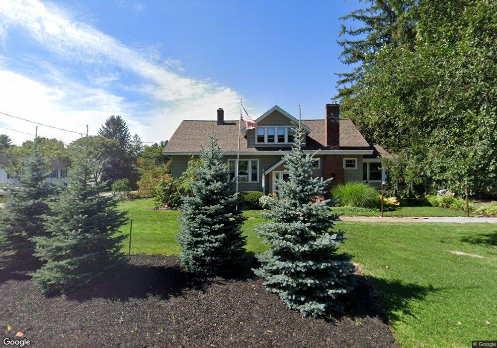
15 Middle Rd Dover, NH 03820
Dover Point NeighborhoodEstimated Value: $584,561 - $721,000
5
Beds
3
Baths
2,494
Sq Ft
$266/Sq Ft
Est. Value
About This Home
This home is located at 15 Middle Rd, Dover, NH 03820 and is currently estimated at $664,390, approximately $266 per square foot. 15 Middle Rd is a home located in Strafford County with nearby schools including Garrison School, Dover Middle School, and Dover Senior High School.
Ownership History
Date
Name
Owned For
Owner Type
Purchase Details
Closed on
Feb 1, 2016
Sold by
Daley Daniel R and Daley Dawn A
Bought by
Miskimen William M and Miskimen Andrea W
Current Estimated Value
Home Financials for this Owner
Home Financials are based on the most recent Mortgage that was taken out on this home.
Original Mortgage
$336,992
Outstanding Balance
$268,818
Interest Rate
3.97%
Mortgage Type
VA
Estimated Equity
$395,572
Create a Home Valuation Report for This Property
The Home Valuation Report is an in-depth analysis detailing your home's value as well as a comparison with similar homes in the area
Home Values in the Area
Average Home Value in this Area
Purchase History
| Date | Buyer | Sale Price | Title Company |
|---|---|---|---|
| Miskimen William M | $329,933 | -- |
Source: Public Records
Mortgage History
| Date | Status | Borrower | Loan Amount |
|---|---|---|---|
| Open | Miskimen William M | $336,992 |
Source: Public Records
Tax History Compared to Growth
Tax History
| Year | Tax Paid | Tax Assessment Tax Assessment Total Assessment is a certain percentage of the fair market value that is determined by local assessors to be the total taxable value of land and additions on the property. | Land | Improvement |
|---|---|---|---|---|
| 2024 | $9,995 | $550,100 | $160,500 | $389,600 |
| 2023 | $9,479 | $506,900 | $164,800 | $342,100 |
| 2022 | $9,569 | $482,300 | $156,200 | $326,100 |
| 2021 | $8,480 | $390,800 | $121,500 | $269,300 |
| 2020 | $8,484 | $341,400 | $108,400 | $233,000 |
| 2019 | $8,265 | $328,100 | $99,800 | $228,300 |
| 2018 | $7,581 | $304,200 | $86,800 | $217,400 |
| 2017 | $7,370 | $284,900 | $73,700 | $211,200 |
| 2016 | $7,172 | $272,800 | $80,500 | $192,300 |
| 2015 | $7,368 | $276,900 | $76,000 | $200,900 |
| 2014 | $7,202 | $276,900 | $76,000 | $200,900 |
| 2011 | $6,797 | $270,600 | $78,200 | $192,400 |
Source: Public Records
Map
Nearby Homes
- 55 Pointe Place Unit 108
- 55 Pointe Place Unit 208
- 55 Pointe Place Unit 207
- 55 Pointe Place Unit 304
- 2 Shamrock Ln
- 3 Niles St
- 15 Dover Point Rd
- 20 Village Dr
- 25 Dover Point Rd
- 36 Court St
- 93 Henry Law Ave Unit 29
- 181 Central Ave
- 83 Cricket Brook
- 1 Independence Dr
- 35 Lenox Dr Unit B
- 20 Lenox Dr Unit c
- 31 Lenox Dr Unit B
- 22 Lenox Dr Unit D
- 25 Lenox Dr Unit A
- 17 Lenox Dr Unit A
- 34 Hubbard Rd
- 16 Middle Rd
- 33 Hubbard Rd
- 35 Hubbard Rd
- 23 Middle Rd
- 32 Hubbard Rd
- 10 Middle Rd
- 31 Hubbard Rd
- 13 Back Rd Unit 108
- 13 Back Rd
- 7 Back Rd
- 3 Back Rd
- 32 Middle Rd
- 31 Middle Rd
- 30 Hubbard Rd
- 17 Cottage Park Dr
- 8 Hayden Dr
- 40 Hayden Dr Unit Lot 8 - The Hannah
- 40 Hayden Dr Unit Lot 8 - The Ackley
- 18 Hayden Dr Unit Lot 5 - The Hannah