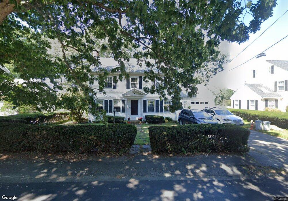
15 Parkside Cir Braintree, MA 02184
North Braintree NeighborhoodEstimated Value: $703,000 - $902,000
5
Beds
3
Baths
1,696
Sq Ft
$476/Sq Ft
Est. Value
About This Home
This home is located at 15 Parkside Cir, Braintree, MA 02184 and is currently estimated at $806,657, approximately $475 per square foot. 15 Parkside Cir is a home located in Norfolk County with nearby schools including Braintree High School, Meeting House Montessori School, and South Shore SDA School.
Ownership History
Date
Name
Owned For
Owner Type
Purchase Details
Closed on
Aug 13, 1987
Sold by
Lowthers James E
Bought by
Spera Philip A
Current Estimated Value
Home Financials for this Owner
Home Financials are based on the most recent Mortgage that was taken out on this home.
Original Mortgage
$90,000
Interest Rate
10.4%
Mortgage Type
Purchase Money Mortgage
Create a Home Valuation Report for This Property
The Home Valuation Report is an in-depth analysis detailing your home's value as well as a comparison with similar homes in the area
Home Values in the Area
Average Home Value in this Area
Purchase History
| Date | Buyer | Sale Price | Title Company |
|---|---|---|---|
| Spera Philip A | $217,000 | -- |
Source: Public Records
Mortgage History
| Date | Status | Borrower | Loan Amount |
|---|---|---|---|
| Closed | Spera Philip A | $90,000 | |
| Previous Owner | Spera Philip A | $46,000 |
Source: Public Records
Tax History Compared to Growth
Tax History
| Year | Tax Paid | Tax Assessment Tax Assessment Total Assessment is a certain percentage of the fair market value that is determined by local assessors to be the total taxable value of land and additions on the property. | Land | Improvement |
|---|---|---|---|---|
| 2025 | $7,581 | $759,600 | $388,900 | $370,700 |
| 2024 | $6,678 | $704,400 | $347,200 | $357,200 |
| 2023 | $6,380 | $653,700 | $314,800 | $338,900 |
| 2022 | $6,136 | $616,700 | $277,800 | $338,900 |
| 2021 | $5,955 | $598,500 | $277,800 | $320,700 |
| 2020 | $5,572 | $565,100 | $244,400 | $320,700 |
| 2019 | $5,360 | $531,200 | $244,400 | $286,800 |
| 2018 | $5,250 | $498,100 | $222,200 | $275,900 |
| 2017 | $5,231 | $487,100 | $222,200 | $264,900 |
| 2016 | $4,945 | $450,400 | $200,000 | $250,400 |
| 2015 | $4,884 | $441,200 | $200,000 | $241,200 |
| 2014 | $4,460 | $390,500 | $165,700 | $224,800 |
Source: Public Records
Map
Nearby Homes
- 78 Windemere Cir
- 17 Judson St
- 53 Parkside Ave
- 175 West St
- 10 Cochato Rd
- 63 Dickerman Ln
- 37 Monatiquot Ave
- 29 Norton St
- 491 Washington St Unit 1
- 305 Franklin St
- 47 Addison St
- 8 Vinton Ave Unit 10
- 146 Eleanor Dr
- 161 Cedar St
- 9 Independence Ave Unit 105
- 195 Independence Ave Unit 137
- 65 Tremont St
- 347 Centre St
- 21 Totman St Unit 204
- 21 Totman St Unit 309
- 21 Parkside Cir
- 21 Parkside Cir Unit 21
- 7 Parkside Cir
- 3 Parkside Cir
- 27 Parkside Cir
- 16 Parkside Cir
- 139 Parkside Ave
- 10 Parkside Cir
- 157 Parkside Ave
- 28 Parkside Cir
- 29 Parkside Cir
- 133 Parkside Ave
- 165 Parkside Ave
- 152 Parkside Ave
- 146 Parkside Ave
- 162 Parkside Ave
- 31 Parkside Cir
- 58 Parkside Cir
- 62 Parkside Cir
- 140 Parkside Ave