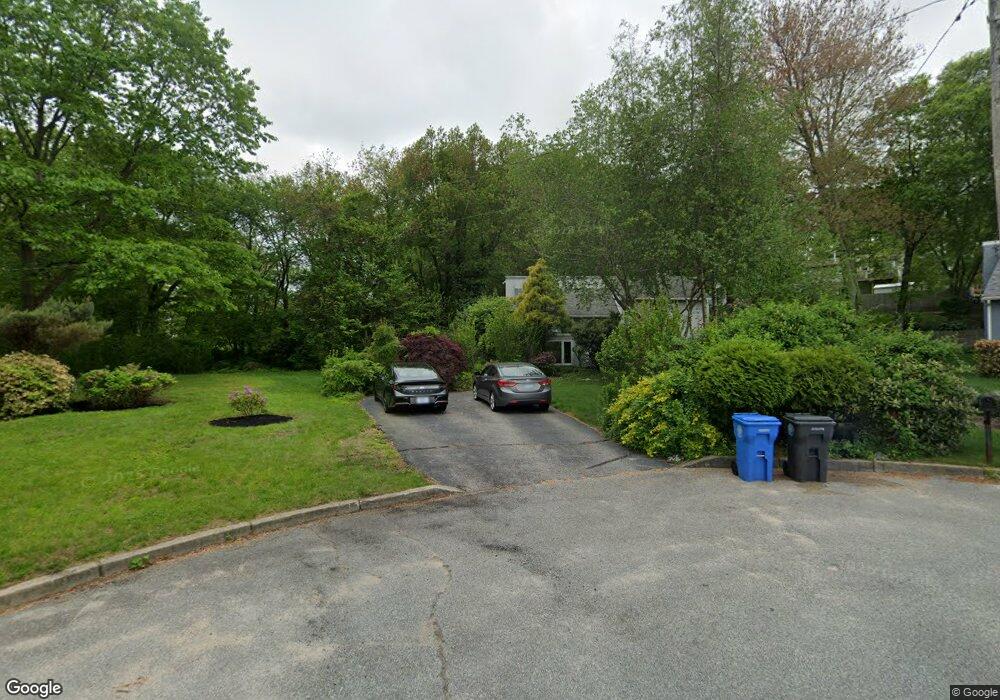
15 Pheasant Ct Cranston, RI 02920
Thornton NeighborhoodEstimated Value: $458,000 - $602,000
3
Beds
2
Baths
1,728
Sq Ft
$302/Sq Ft
Est. Value
About This Home
This home is located at 15 Pheasant Ct, Cranston, RI 02920 and is currently estimated at $521,471, approximately $301 per square foot. 15 Pheasant Ct is a home located in Providence County with nearby schools including Stone Hill School, Western Hills Middle School, and Cranston High School West.
Ownership History
Date
Name
Owned For
Owner Type
Purchase Details
Closed on
Dec 27, 2016
Sold by
Madoian David M and Grant Richard D
Bought by
Madoian David M and Grant Richard D
Current Estimated Value
Purchase Details
Closed on
Jan 5, 1996
Sold by
Corcoran Brian P and Corcoran Donna
Bought by
Madoian David M and Grant Richard D
Home Financials for this Owner
Home Financials are based on the most recent Mortgage that was taken out on this home.
Original Mortgage
$87,500
Interest Rate
7.34%
Purchase Details
Closed on
Jul 24, 1992
Sold by
Rouette Michael L and Rouette Judith
Bought by
Corcoran Brian P
Home Financials for this Owner
Home Financials are based on the most recent Mortgage that was taken out on this home.
Original Mortgage
$124,400
Interest Rate
8.49%
Create a Home Valuation Report for This Property
The Home Valuation Report is an in-depth analysis detailing your home's value as well as a comparison with similar homes in the area
Home Values in the Area
Average Home Value in this Area
Purchase History
| Date | Buyer | Sale Price | Title Company |
|---|---|---|---|
| Madoian David M | -- | -- | |
| Madoian David M | $137,500 | -- | |
| Corcoran Brian P | $141,000 | -- |
Source: Public Records
Mortgage History
| Date | Status | Borrower | Loan Amount |
|---|---|---|---|
| Previous Owner | Corcoran Brian P | $87,500 | |
| Previous Owner | Corcoran Brian P | $124,400 |
Source: Public Records
Tax History Compared to Growth
Tax History
| Year | Tax Paid | Tax Assessment Tax Assessment Total Assessment is a certain percentage of the fair market value that is determined by local assessors to be the total taxable value of land and additions on the property. | Land | Improvement |
|---|---|---|---|---|
| 2025 | $5,977 | $430,600 | $168,900 | $261,700 |
| 2024 | $5,860 | $430,600 | $168,900 | $261,700 |
| 2023 | $5,795 | $306,600 | $120,700 | $185,900 |
| 2022 | $5,675 | $306,600 | $120,700 | $185,900 |
| 2021 | $5,519 | $306,600 | $120,700 | $185,900 |
| 2020 | $5,587 | $269,000 | $120,700 | $148,300 |
| 2019 | $5,587 | $269,000 | $120,700 | $148,300 |
| 2018 | $5,458 | $269,000 | $120,700 | $148,300 |
| 2017 | $5,446 | $237,400 | $103,500 | $133,900 |
| 2016 | $5,330 | $237,400 | $103,500 | $133,900 |
| 2015 | $5,330 | $237,400 | $103,500 | $133,900 |
| 2014 | $5,176 | $226,600 | $99,200 | $127,400 |
Source: Public Records
Map
Nearby Homes
- 17 Woodview Dr
- 20 Wild Berry Dr
- 11 Red Robin Rd
- 26 Scituate Farms Dr
- 134 Lake Garden Dr
- 118 Westfield Dr
- 51 Stone Dr
- 20 Doreen Ct
- 435 Scituate Ave
- 95 Amy Dr
- 26 Rachela St
- 105 Amy Dr
- 27 Nardolillo St
- 1603 Plainfield Pike Unit D5
- 1603 Plainfield Pike Unit E2
- 30 Dutchess Dr
- 41 Yeoman Ave
- 60 Harmony St
- 25 Loomis St
- 53 Charcalee Dr
- 136 Pheasant Ct
- 9 Pheasant Ct
- 10 Pheasant Ct
- 23 Robin Hood Rd
- 15 Robin Hood Rd
- 29 Robin Hood Rd
- 1 Pheasant Ct
- 35 Robin Hood Rd
- 4 Pheasant Ct
- 101 Pheasant Dr
- 129 Pheasant Dr
- 9 Robin Hood Rd
- 43 Robin Hood Rd
- 84 Arrow Way
- 20 Robin Hood Rd
- 26 Robin Hood Rd
- 133 Pheasant Dr
- 59 Arrowfield Rd
- 32 Robin Hood Rd
- 108 Pheasant Dr