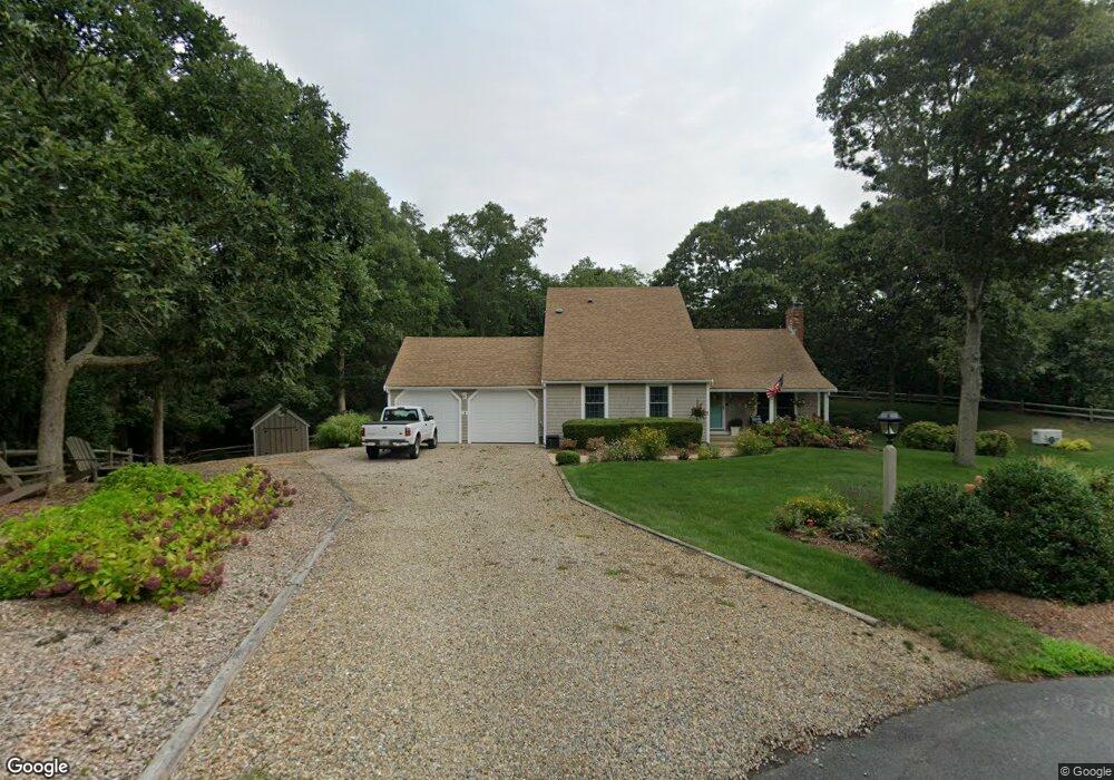
15 Priscilla Cir Eastham, MA 02642
Estimated Value: $1,029,000 - $1,532,000
4
Beds
3
Baths
2,067
Sq Ft
$575/Sq Ft
Est. Value
About This Home
This home is located at 15 Priscilla Cir, Eastham, MA 02642 and is currently estimated at $1,188,511, approximately $574 per square foot. 15 Priscilla Cir is a home located in Barnstable County with nearby schools including Eastham Elementary School, Nauset Regional Middle School, and Nauset Regional High School.
Ownership History
Date
Name
Owned For
Owner Type
Purchase Details
Closed on
Oct 23, 2009
Sold by
Angell Paul R and Angell Barbara W
Bought by
Northwood Lance A and Northwood Elaine R
Current Estimated Value
Home Financials for this Owner
Home Financials are based on the most recent Mortgage that was taken out on this home.
Original Mortgage
$240,000
Outstanding Balance
$156,796
Interest Rate
5.09%
Mortgage Type
Purchase Money Mortgage
Estimated Equity
$1,031,715
Purchase Details
Closed on
Sep 8, 2006
Sold by
Patricia M Genova Nt and Carman Joanne Patricia
Bought by
Angell Barbara W and Angell Paul R
Home Financials for this Owner
Home Financials are based on the most recent Mortgage that was taken out on this home.
Original Mortgage
$343,000
Interest Rate
6.79%
Mortgage Type
Purchase Money Mortgage
Create a Home Valuation Report for This Property
The Home Valuation Report is an in-depth analysis detailing your home's value as well as a comparison with similar homes in the area
Home Values in the Area
Average Home Value in this Area
Purchase History
| Date | Buyer | Sale Price | Title Company |
|---|---|---|---|
| Northwood Lance A | $636,000 | -- | |
| Angell Barbara W | $590,000 | -- |
Source: Public Records
Mortgage History
| Date | Status | Borrower | Loan Amount |
|---|---|---|---|
| Open | Northwood Lance A | $240,000 | |
| Previous Owner | Angell Barbara W | $343,000 |
Source: Public Records
Tax History Compared to Growth
Tax History
| Year | Tax Paid | Tax Assessment Tax Assessment Total Assessment is a certain percentage of the fair market value that is determined by local assessors to be the total taxable value of land and additions on the property. | Land | Improvement |
|---|---|---|---|---|
| 2025 | $7,733 | $1,003,000 | $412,800 | $590,200 |
| 2024 | $6,878 | $981,100 | $400,800 | $580,300 |
| 2023 | $6,166 | $851,700 | $346,400 | $505,300 |
| 2022 | $5,787 | $674,500 | $309,300 | $365,200 |
| 2021 | $5,626 | $612,900 | $281,100 | $331,800 |
| 2020 | $5,242 | $601,200 | $286,900 | $314,300 |
| 2019 | $4,817 | $583,900 | $278,600 | $305,300 |
| 2018 | $3,005 | $567,000 | $270,500 | $296,500 |
| 2017 | $2,936 | $559,300 | $265,100 | $294,200 |
| 2016 | $3,882 | $521,800 | $246,200 | $275,600 |
| 2015 | $3,615 | $509,100 | $241,400 | $267,700 |
Source: Public Records
Map
Nearby Homes
- 1295 Herring Brook Rd
- 645 Samoset Rd
- 10 Cartway N
- 45 Cranberry Cir
- 4 Wood Duck Ln
- 180 Country Ln
- 20 Boat Meadow Way
- 1975 State Hwy Unit 3
- 1975 State Hwy Unit 5
- 330 Hay Rd
- 20 White Pines Dr
- 1875 State Hwy
- 10 Field Rd
- 45 Starlight Ln
- 10 Alston Ct
- 60 Briggs Field Rd
- 20 Redberry Ln
- 10 Surrey Dr
- 385 Bridge Rd
- 480 Dyer Prince Rd
- 40 Pilgrims Path
- 1015 Herring Brook Rd
- 50 Pilgrims Path
- 925 Herring Brook Rd
- 10 Priscilla Cir
- 20 Priscilla Cir
- 930 Herring Brook Rd
- 5 Mallard Ln
- 20 Pilgrims Path
- 35 Pilgrims Path
- 45 Pilgrims Path
- 905 Herring Brook Rd
- 1250 Samoset Rd
- 905 Herring Brook Rd
- 920 Herring Brook Rd
- 1280 Samoset Rd
- 25 Pilgrims Path
- 15 Mallard Ln
- 55 Pilgrims Path
- 25 Dirks Dr