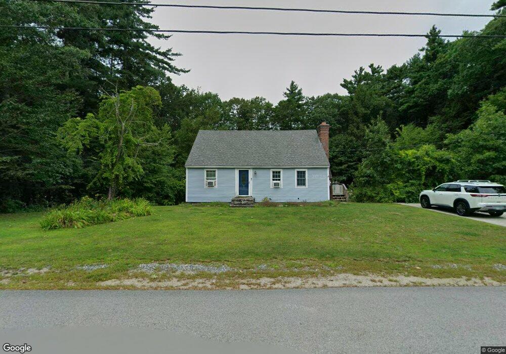
15 Proctor Rd Wilton, NH 03086
Estimated Value: $428,000 - $473,000
5
Beds
2
Baths
1,666
Sq Ft
$273/Sq Ft
Est. Value
About This Home
This home is located at 15 Proctor Rd, Wilton, NH 03086 and is currently estimated at $455,332, approximately $273 per square foot. 15 Proctor Rd is a home located in Hillsborough County with nearby schools including Florence Rideout Elementary School, Wilton-Lyndeborough Cooperative Middle School, and Wilton-Lyndeborough Cooperative High School.
Ownership History
Date
Name
Owned For
Owner Type
Purchase Details
Closed on
Oct 29, 1999
Sold by
Pikcilingis Eric J
Bought by
Samson Ralph L and Samson Bonnie L
Current Estimated Value
Home Financials for this Owner
Home Financials are based on the most recent Mortgage that was taken out on this home.
Original Mortgage
$120,500
Interest Rate
7.78%
Create a Home Valuation Report for This Property
The Home Valuation Report is an in-depth analysis detailing your home's value as well as a comparison with similar homes in the area
Home Values in the Area
Average Home Value in this Area
Purchase History
| Date | Buyer | Sale Price | Title Company |
|---|---|---|---|
| Samson Ralph L | $139,300 | -- |
Source: Public Records
Mortgage History
| Date | Status | Borrower | Loan Amount |
|---|---|---|---|
| Open | Samson Ralph L | $203,200 | |
| Closed | Samson Ralph L | $120,500 |
Source: Public Records
Tax History Compared to Growth
Tax History
| Year | Tax Paid | Tax Assessment Tax Assessment Total Assessment is a certain percentage of the fair market value that is determined by local assessors to be the total taxable value of land and additions on the property. | Land | Improvement |
|---|---|---|---|---|
| 2024 | $6,988 | $281,000 | $120,000 | $161,000 |
| 2023 | $6,238 | $281,000 | $120,000 | $161,000 |
| 2022 | $5,805 | $281,000 | $120,000 | $161,000 |
| 2021 | $5,401 | $281,000 | $120,000 | $161,000 |
| 2020 | $5,628 | $191,500 | $85,200 | $106,300 |
| 2019 | $5,561 | $191,500 | $85,200 | $106,300 |
| 2018 | $5,508 | $191,500 | $85,200 | $106,300 |
| 2017 | $5,203 | $191,500 | $85,200 | $106,300 |
| 2016 | $5,036 | $191,200 | $85,200 | $106,000 |
| 2015 | $5,289 | $200,800 | $100,400 | $100,400 |
| 2014 | $5,181 | $200,800 | $100,400 | $100,400 |
| 2013 | $5,235 | $201,200 | $100,400 | $100,800 |
Source: Public Records
Map
Nearby Homes
- 81 Abbot Hill Acres
- 18 Richfield Way
- 88 McGettigan Rd Unit 88-6-1
- 27 Island St
- 10 Mill St
- F-88-10 Aria Hill Dr
- 8 Maple St
- F-88-11 Aria Hill Dr
- F-88-12 Aria Hill Dr
- F-88-7 Aria Hill Dr
- Lot F-88-9 Aria Hill Dr
- F/88-5 McGettigan Rd
- F/88-4 McGettigan Rd
- 134 Falcon Ridge Rd Unit 23
- Lots 4 & 7 Gibbons & Robbins Rd
- 30 Holden Ln
- 0 Marden Rd
- 545 Elm St Unit 34
- 59 Goldsmith Rd
- 119 Boynton Hill Rd
- 21 Proctor Rd
- 10 Proctor Rd
- 14 Proctor Rd
- 97 Abbot Hill Acres
- 19 Greene St
- 20 Proctor Rd
- 107 Abbot Hill Acres
- 91 Abbot Hill Acres
- 12 Greene St
- 4 Greene St
- 24 Proctor Rd
- 18 Greene St
- 87 Abbot Hill Acres
- 98 Abbot Hill Acres
- 27 Greene St
- 92 Abbot Hill Acres
- 151 Abbot Hill Rd
- 145 Abbot Hill Rd
- 106 Abbot Hill Acres
- 26 Greene St