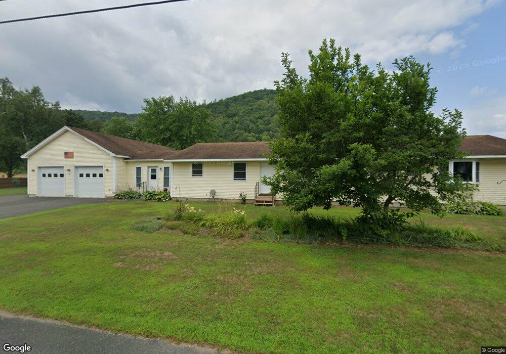
15 Purinton Rd Shelburne Falls, MA 01370
Buckland NeighborhoodEstimated Value: $320,000 - $535,000
3
Beds
2
Baths
2,001
Sq Ft
$213/Sq Ft
Est. Value
About This Home
This home is located at 15 Purinton Rd, Shelburne Falls, MA 01370 and is currently estimated at $426,548, approximately $213 per square foot. 15 Purinton Rd is a home with nearby schools including Mohawk Trail Regional High School.
Ownership History
Date
Name
Owned For
Owner Type
Purchase Details
Closed on
Nov 14, 2003
Sold by
Sweet Goldie E Est
Bought by
Sweet Richard D and Sweet Susan J
Current Estimated Value
Home Financials for this Owner
Home Financials are based on the most recent Mortgage that was taken out on this home.
Original Mortgage
$104,000
Outstanding Balance
$47,577
Interest Rate
5.81%
Mortgage Type
Purchase Money Mortgage
Estimated Equity
$378,971
Create a Home Valuation Report for This Property
The Home Valuation Report is an in-depth analysis detailing your home's value as well as a comparison with similar homes in the area
Home Values in the Area
Average Home Value in this Area
Purchase History
| Date | Buyer | Sale Price | Title Company |
|---|---|---|---|
| Sweet Richard D | $130,000 | -- |
Source: Public Records
Mortgage History
| Date | Status | Borrower | Loan Amount |
|---|---|---|---|
| Open | Sweet Richard D | $104,000 | |
| Previous Owner | Sweet Richard D | $27,000 |
Source: Public Records
Tax History Compared to Growth
Tax History
| Year | Tax Paid | Tax Assessment Tax Assessment Total Assessment is a certain percentage of the fair market value that is determined by local assessors to be the total taxable value of land and additions on the property. | Land | Improvement |
|---|---|---|---|---|
| 2025 | $6,456 | $381,100 | $69,400 | $311,700 |
| 2024 | $6,395 | $364,200 | $69,400 | $294,800 |
| 2023 | $5,634 | $332,600 | $69,400 | $263,200 |
| 2022 | $5,581 | $332,600 | $69,400 | $263,200 |
| 2021 | $5,193 | $291,100 | $69,400 | $221,700 |
| 2020 | $5,067 | $273,600 | $69,400 | $204,200 |
| 2019 | $4,767 | $255,900 | $69,400 | $186,500 |
| 2018 | $4,656 | $247,000 | $69,400 | $177,600 |
| 2017 | $4,458 | $247,000 | $69,400 | $177,600 |
| 2016 | $4,166 | $246,500 | $69,400 | $177,100 |
| 2015 | $4,141 | $246,500 | $69,400 | $177,100 |
Source: Public Records
Map
Nearby Homes
- 31 W Oxbow Rd
- 24 W Oxbow Rd
- 2151 Route 2
- 2155 Massachusetts 2
- 156 Ashfield Rd
- 7 Hog Hollow Rd
- 0 W Oxbow Rd Unit 73453651
- 33 Williams St
- 0 Upper St
- 10 Deerfield Ave Unit 5
- 10 Deerfield Ave Unit 2
- 105 - 107 Bridge St
- 143 Charlemont Rd
- 102 Elm St
- 0 Ashfield Rd
- 32 Navaho Ln
- 139 Taylor Brook Rd
- 3+5 Church St
- 14 South Rd
- 6 Chippewa Dr
- 13 Purinton Rd
- 17 Purinton Rd
- 16 Purinton Rd
- 21 Purinton Rd
- 18 Purinton Rd
- 27 Purinton Rd
- 20 Purinton Rd
- 70 Ashfield Rd
- 5 Dunbar Rd
- 5 Dunbar Rd
- 80 Ashfield Rd
- 19 Depot Rd
- 78 Ashfield Rd
- 33 Purinton Rd
- 89 Ashfield Rd
- 4 Depot Rd
- 6 Depot Rd
- 76 Ashfield Rd
- 0 Nelson Purinton Rd Unit 30071042
- 98 Ashfield Rd