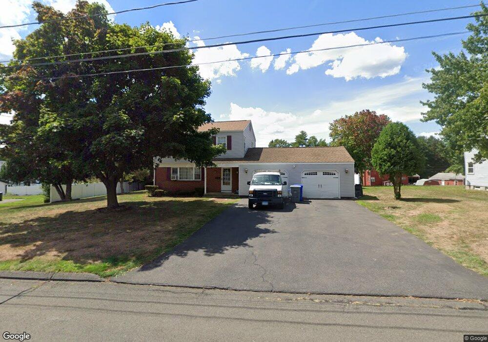
15 Putnam Ln Enfield, CT 06082
Estimated Value: $316,388 - $389,000
3
Beds
2
Baths
1,372
Sq Ft
$248/Sq Ft
Est. Value
About This Home
This home is located at 15 Putnam Ln, Enfield, CT 06082 and is currently estimated at $340,597, approximately $248 per square foot. 15 Putnam Ln is a home located in Hartford County with nearby schools including Nathan Hale Elementary School, Eli Whitney Elementary School, and John F. Kennedy Middle School.
Ownership History
Date
Name
Owned For
Owner Type
Purchase Details
Closed on
May 16, 1997
Sold by
Dipirtro Joseph and Dipietro Ann
Bought by
Bossidy Bridget and Wcislo John
Current Estimated Value
Home Financials for this Owner
Home Financials are based on the most recent Mortgage that was taken out on this home.
Original Mortgage
$107,120
Interest Rate
8.12%
Mortgage Type
Unknown
Create a Home Valuation Report for This Property
The Home Valuation Report is an in-depth analysis detailing your home's value as well as a comparison with similar homes in the area
Home Values in the Area
Average Home Value in this Area
Purchase History
| Date | Buyer | Sale Price | Title Company |
|---|---|---|---|
| Bossidy Bridget | $133,900 | -- |
Source: Public Records
Mortgage History
| Date | Status | Borrower | Loan Amount |
|---|---|---|---|
| Closed | Bossidy Bridget | $107,120 | |
| Closed | Bossidy Bridget | $107,120 | |
| Previous Owner | Bossidy Bridget | $111,600 | |
| Previous Owner | Bossidy Bridget | $58,000 |
Source: Public Records
Tax History Compared to Growth
Tax History
| Year | Tax Paid | Tax Assessment Tax Assessment Total Assessment is a certain percentage of the fair market value that is determined by local assessors to be the total taxable value of land and additions on the property. | Land | Improvement |
|---|---|---|---|---|
| 2025 | $5,433 | $154,800 | $57,700 | $97,100 |
| 2024 | $5,234 | $154,800 | $57,700 | $97,100 |
| 2023 | $5,195 | $154,800 | $57,700 | $97,100 |
| 2022 | $4,782 | $154,800 | $57,700 | $97,100 |
| 2021 | $4,638 | $123,440 | $47,800 | $75,640 |
| 2020 | $4,607 | $123,440 | $47,800 | $75,640 |
| 2019 | $4,601 | $123,440 | $47,800 | $75,640 |
| 2018 | $4,477 | $123,440 | $47,800 | $75,640 |
| 2017 | $4,207 | $123,440 | $47,800 | $75,640 |
| 2016 | $4,097 | $122,820 | $49,040 | $73,780 |
| 2015 | $3,972 | $122,820 | $49,040 | $73,780 |
| 2014 | $3,873 | $122,820 | $49,040 | $73,780 |
Source: Public Records
Map
Nearby Homes
- 155 Sheridan Rd
- 31 Meade Ln
- 11 Northfield Rd
- 436 Taylor Rd
- 2 Meacham Dr Unit 2
- 4 Copley Cir
- 138 Main St
- 34 Ridgefield Rd
- 35 Therese Dr
- 56 N Maple St
- 102 N Maple St Unit 1A
- 6 Cedar St
- 287 Hazard Ave
- 12 Salerno Dr
- 45 Monroe Rd
- 70 Fletcher Rd
- 3 Avon Street Extension
- 12 the Laurels Unit 12
- 557 Hall Hill Rd
- 35 Cantlewood Dr