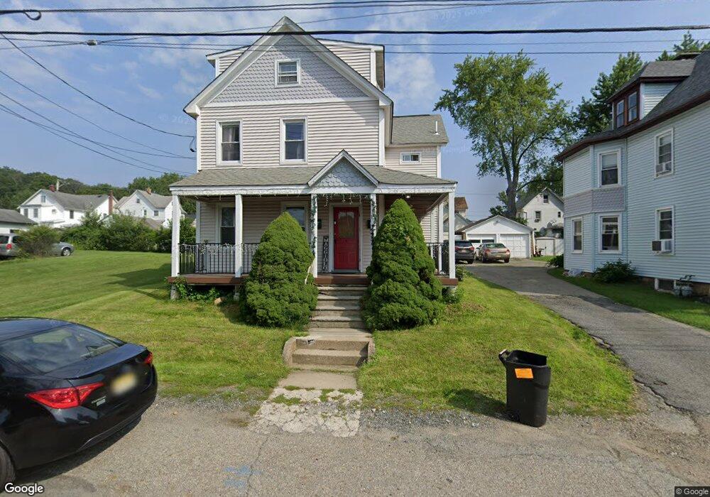
15 Ross St Unit A Wharton, NJ 07885
Estimated Value: $516,000 - $563,000
1
Bed
1
Bath
1,835
Sq Ft
$293/Sq Ft
Est. Value
About This Home
This home is located at 15 Ross St Unit A, Wharton, NJ 07885 and is currently estimated at $538,000, approximately $293 per square foot. 15 Ross St Unit A is a home located in Morris County with nearby schools including Marie V. Duffy Elementary School and A C Mac Kinnon Middle School.
Ownership History
Date
Name
Owned For
Owner Type
Purchase Details
Closed on
Jan 12, 1994
Sold by
Riley Michael
Bought by
O'Boyle Thomas and Bruno Theresa
Current Estimated Value
Home Financials for this Owner
Home Financials are based on the most recent Mortgage that was taken out on this home.
Original Mortgage
$144,000
Interest Rate
7.22%
Mortgage Type
FHA
Create a Home Valuation Report for This Property
The Home Valuation Report is an in-depth analysis detailing your home's value as well as a comparison with similar homes in the area
Home Values in the Area
Average Home Value in this Area
Purchase History
| Date | Buyer | Sale Price | Title Company |
|---|---|---|---|
| O'Boyle Thomas | $146,800 | -- |
Source: Public Records
Mortgage History
| Date | Status | Borrower | Loan Amount |
|---|---|---|---|
| Closed | O'Boyle Thomas | $144,000 |
Source: Public Records
Tax History
| Year | Tax Paid | Tax Assessment Tax Assessment Total Assessment is a certain percentage of the fair market value that is determined by local assessors to be the total taxable value of land and additions on the property. | Land | Improvement |
|---|---|---|---|---|
| 2025 | $11,076 | $403,400 | $101,200 | $302,200 |
| 2024 | $10,021 | $374,300 | $96,400 | $277,900 |
Source: Public Records
Map
Nearby Homes
- 748 Upperway
- 33 Meadow Ave
- 19123 Westview Unit 19123
- 23155 Westview
- 431 N Main St
- 14 Oak Ln
- 322 M5richard Mine Rd Unit 5
- 62 Union St
- 322 Richard Mine Rd
- 322 Richard Mine Rd Unit 5
- 41 Kelly Ln
- 322 B9 Richard Mine Rd Unit 9
- 14 Kelly Ln
- 7 Moreno Place
- 174 Baker Ave
- 75 White St
- 36 Kitchell Ave
- 48 Garden Ave
- 13 James St
- 8 N Elk Ave
- 15 Ross St
- 19 Ross St
- 5 Ross St
- 24 E Dewey Ave
- 30 E Dewey Ave
- 16 E Dewey Ave
- 21 Ross St
- 34 E Dewey Ave
- 3 Ross St
- 12 E Dewey Ave Unit 14
- 42 E Dewey Ave
- 21 E Dewey Ave Unit 23
- 17 E Dewey Ave
- 35 E Dewey Ave
- 37 E Dewey Ave
- 44 E Dewey Ave
- 25 E Dewey Ave Unit 27
- 41 E Dewey Ave Unit 43
- 9 E Dewey Ave Unit 11
- 49 E Dewey Ave
Your Personal Tour Guide
Ask me questions while you tour the home.