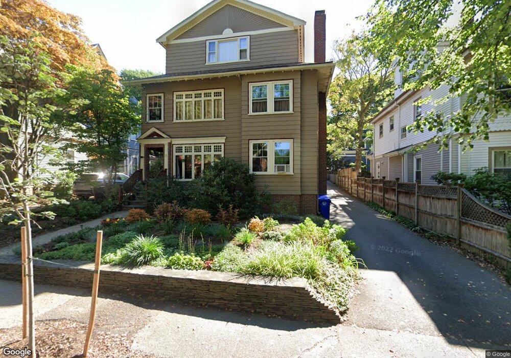
15 Stetson St Brookline, MA 02446
Coolidge Corner NeighborhoodEstimated Value: $3,020,000 - $3,853,597
8
Beds
4
Baths
4,704
Sq Ft
$729/Sq Ft
Est. Value
About This Home
This home is located at 15 Stetson St, Brookline, MA 02446 and is currently estimated at $3,431,199, approximately $729 per square foot. 15 Stetson St is a home located in Norfolk County with nearby schools including Match Charter Public School and St. Mary of the Assumption Elementary School.
Ownership History
Date
Name
Owned For
Owner Type
Purchase Details
Closed on
Mar 31, 1994
Sold by
Cutler Sally
Bought by
Tungate Cindy
Current Estimated Value
Create a Home Valuation Report for This Property
The Home Valuation Report is an in-depth analysis detailing your home's value as well as a comparison with similar homes in the area
Home Values in the Area
Average Home Value in this Area
Purchase History
| Date | Buyer | Sale Price | Title Company |
|---|---|---|---|
| Tungate Cindy | $302,000 | -- |
Source: Public Records
Mortgage History
| Date | Status | Borrower | Loan Amount |
|---|---|---|---|
| Open | Tungate Cindy | $475,000 | |
| Closed | Tungate Cindy | $417,000 | |
| Closed | Tungate Cindy | $600,000 |
Source: Public Records
Tax History Compared to Growth
Tax History
| Year | Tax Paid | Tax Assessment Tax Assessment Total Assessment is a certain percentage of the fair market value that is determined by local assessors to be the total taxable value of land and additions on the property. | Land | Improvement |
|---|---|---|---|---|
| 2025 | $29,513 | $2,990,200 | $1,404,200 | $1,586,000 |
| 2024 | $29,122 | $2,980,800 | $1,350,100 | $1,630,700 |
| 2023 | $29,003 | $2,909,000 | $1,247,300 | $1,661,700 |
| 2022 | $28,230 | $2,770,400 | $1,187,900 | $1,582,500 |
| 2021 | $26,106 | $2,663,900 | $1,142,200 | $1,521,700 |
| 2020 | $24,714 | $2,615,200 | $1,038,300 | $1,576,900 |
| 2019 | $23,338 | $2,490,700 | $988,900 | $1,501,800 |
| 2018 | $21,202 | $2,241,200 | $824,000 | $1,417,200 |
| 2017 | $20,503 | $2,075,200 | $777,400 | $1,297,800 |
| 2016 | $19,657 | $1,886,500 | $726,500 | $1,160,000 |
| 2015 | $17,760 | $1,662,900 | $679,000 | $983,900 |
| 2014 | $16,629 | $1,460,000 | $565,900 | $894,100 |
Source: Public Records
Map
Nearby Homes
- 45 Dwight St
- 58 Dwight St Unit 6
- 63 Green St Unit 3
- 63 Green St Unit 2
- 52 Babcock St Unit 6
- 79 Pleasant St Unit 4
- 233 Freeman St Unit 1
- 51 John St Unit 201
- 125 Pleasant St Unit 201
- 125 Crowninshield Rd Unit 125
- 99 Crowninshield Rd Unit 99
- 10 Bradford Terrace Unit 5
- 17 James St Unit 1
- 15 James St Unit 2
- 85 Naples Rd Unit 2
- 14 Green St Unit PHA
- 14 Green St Unit PH1
- 11 Abbottsford Rd
- 18 Browne St Unit 2
- 373 Harvard St Unit 1
- 15 Stetson St Unit 1
- 9 Stetson St
- 45 Dwight St Unit 2
- 7 Stetson St
- 7 Stetson St Unit none
- 7 Stetson St
- 19 Stetson St
- 12 Stetson St
- 12 Stetson St Unit 1
- 43 Dwight St Unit u2
- 43 Dwight St Unit 2
- 43 Dwight St Unit 1
- 43 Dwight St
- 43 Dwight St Unit 6F
- 53 Dwight St
- 16 Stetson St
- 23 Stetson St Unit 2
- 23 Stetson St Unit 1
- 23 Stetson St Unit One
- 41 Dwight St Unit 1