15 Stone Pound Way Edgartown, MA 02539
Oak Bluffs NeighborhoodEstimated Value: $2,070,000 - $2,693,438
3
Beds
3
Baths
2,724
Sq Ft
$850/Sq Ft
Est. Value
About This Home
This home is located at 15 Stone Pound Way, Edgartown, MA 02539 and is currently estimated at $2,314,610, approximately $849 per square foot. 15 Stone Pound Way is a home with nearby schools including Oak Bluffs Elementary School and Martha's Vineyard Regional High School.
Ownership History
Date
Name
Owned For
Owner Type
Purchase Details
Closed on
Sep 29, 2016
Sold by
Carnevale Robert J and Carnevale Jean M
Bought by
Otten Jeffrey R and Otten Ardell C
Current Estimated Value
Purchase Details
Closed on
Oct 31, 1995
Sold by
Boyle Stephen B and Boyle Eileen K
Bought by
Carnevalle Robert J and Carnevalle Jean Marie
Home Financials for this Owner
Home Financials are based on the most recent Mortgage that was taken out on this home.
Original Mortgage
$175,000
Interest Rate
7.6%
Mortgage Type
Purchase Money Mortgage
Create a Home Valuation Report for This Property
The Home Valuation Report is an in-depth analysis detailing your home's value as well as a comparison with similar homes in the area
Home Values in the Area
Average Home Value in this Area
Purchase History
| Date | Buyer | Sale Price | Title Company |
|---|---|---|---|
| Otten Jeffrey R | $917,500 | -- | |
| Carnevalle Robert J | $375,000 | -- |
Source: Public Records
Mortgage History
| Date | Status | Borrower | Loan Amount |
|---|---|---|---|
| Previous Owner | Carnevalle Robert J | $175,000 |
Source: Public Records
Tax History Compared to Growth
Tax History
| Year | Tax Paid | Tax Assessment Tax Assessment Total Assessment is a certain percentage of the fair market value that is determined by local assessors to be the total taxable value of land and additions on the property. | Land | Improvement |
|---|---|---|---|---|
| 2025 | $11,789 | $2,334,500 | $1,475,400 | $859,100 |
| 2024 | $11,351 | $2,170,300 | $1,340,800 | $829,500 |
| 2023 | $10,705 | $2,027,400 | $1,302,800 | $724,600 |
| 2022 | $10,154 | $1,495,400 | $974,700 | $520,700 |
| 2021 | $9,928 | $1,347,100 | $842,500 | $504,600 |
| 2020 | $9,070 | $1,219,100 | $802,400 | $416,700 |
| 2019 | $9,798 | $1,274,100 | $814,800 | $459,300 |
| 2018 | $8,604 | $1,098,800 | $774,000 | $324,800 |
| 2017 | $9,283 | $1,139,000 | $773,900 | $365,100 |
| 2016 | $8,936 | $1,101,900 | $797,900 | $304,000 |
| 2015 | $8,592 | $1,079,400 | $797,900 | $281,500 |
| 2014 | $8,625 | $1,104,300 | $819,000 | $285,300 |
Source: Public Records
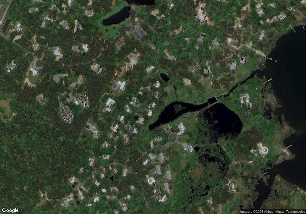
Map
Nearby Homes
- 8 Fresh Pond Rd
- 50 Hidden Cove Rd
- 10 Wood Duck Way
- 30 Sengekontacket Rd
- 32 Flamingo Dr
- 2 Farm Path
- 72 Windsor Dr
- 7 S Meadow Ln
- 8 Paddock Rd
- 22 Paddock Rd Unit 85
- 7 Overview Ln Unit 47
- 7 Overview Ln
- 4 High Meadow Ln
- 112 3rd St N
- 7 Upper Meadow Ln
- 36 Smith Hollow Dr
- 63 Bayes Hill Rd
- 110 5th St N
- 15 Tamarack Ln
- 17 Stone Pound Way
- 16 Stone Pound Way
- 11 Stone Pound Way
- 19 Stone Pound Way
- 19 Stone Pound Way
- 12 Stone Pound Way
- 12 Harvester Way
- 9 Stone Pound Way
- 8 Harvester Way
- 10 Stone Pound Way
- 15 Peter M Williamson Blvd
- 15 Peter Williamson Blvd
- 10 Stone Pound Way
- 14 Harvester Way
- 20 Stone Pound Way
- 7 Stone Pound Way
- 8 Stone Pound Way
- 21 Stone Pound Way
- 13 Stone Pound Way
- 15 Stone Pound Way