15 Stringham Rd Poughkeepsie, NY 12603
Estimated Value: $752,000 - $1,474,043
4
Beds
4
Baths
3,898
Sq Ft
$286/Sq Ft
Est. Value
About This Home
This home is located at 15 Stringham Rd, Poughkeepsie, NY 12603 and is currently estimated at $1,113,022, approximately $285 per square foot. 15 Stringham Rd is a home with nearby schools including Arlington High School.
Ownership History
Date
Name
Owned For
Owner Type
Purchase Details
Closed on
Dec 14, 2015
Sold by
Covered Bridge Farm Inc
Bought by
Swanson Matthew and Swanson
Current Estimated Value
Purchase Details
Closed on
Feb 25, 2013
Sold by
Covered Bridge Farm Inc
Bought by
Covered Bridge Farm Inc
Purchase Details
Closed on
Oct 25, 2012
Sold by
Sendzimir Jan Peter
Bought by
Covered Bridge Farm Inc
Purchase Details
Closed on
Sep 21, 2012
Sold by
County Of Dutchess
Bought by
Sendzimir Stanley
Create a Home Valuation Report for This Property
The Home Valuation Report is an in-depth analysis detailing your home's value as well as a comparison with similar homes in the area
Home Values in the Area
Average Home Value in this Area
Purchase History
| Date | Buyer | Sale Price | Title Company |
|---|---|---|---|
| Swanson Matthew | -- | -- | |
| Covered Bridge Farm Inc | -- | -- | |
| Covered Bridge Farm Inc | $100,000 | -- | |
| Sendzimir Jan Peter | $40,866 | -- | |
| Sendzimir Stanley | $40,856 | -- |
Source: Public Records
Tax History
| Year | Tax Paid | Tax Assessment Tax Assessment Total Assessment is a certain percentage of the fair market value that is determined by local assessors to be the total taxable value of land and additions on the property. | Land | Improvement |
|---|---|---|---|---|
| 2024 | $29,213 | $800,000 | $192,000 | $608,000 |
| 2023 | $60,194 | $800,000 | $192,000 | $608,000 |
| 2019 | $25,756 | $800,000 | $192,000 | $608,000 |
Source: Public Records
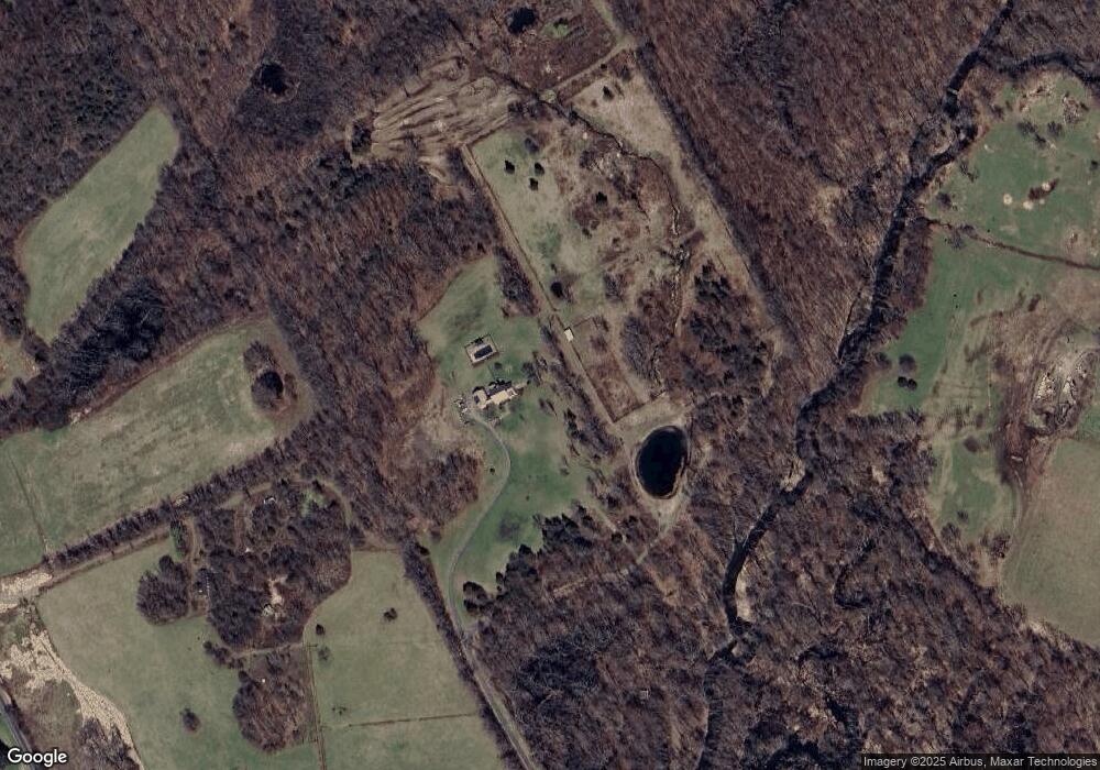
Map
Nearby Homes
- 24 Abu Mousa Dr
- 20 Nesheiwat Dr
- 1035 Noxon Rd
- 671 Noxon Rd
- 83 Smith Rd
- 129 Stringham Rd Unit 26
- 107 Robinson Ln
- 19 Rose Ln
- 0 Arthursburg Rd
- 3 Lewis Rd
- 24 Sedgewick Rd
- 20 Hillview Dr
- 68 Blackberry Way
- 9 Apple Summit Ln
- 16 Apple Summit Ln
- 35 Hillside Lake Rd
- 0 Freedom Plains Rd Unit KEYH6306348
- 149 Sunset Dr
- 195 Sunset Dr
- 3 Mark Vincent Dr
Your Personal Tour Guide
Ask me questions while you tour the home.