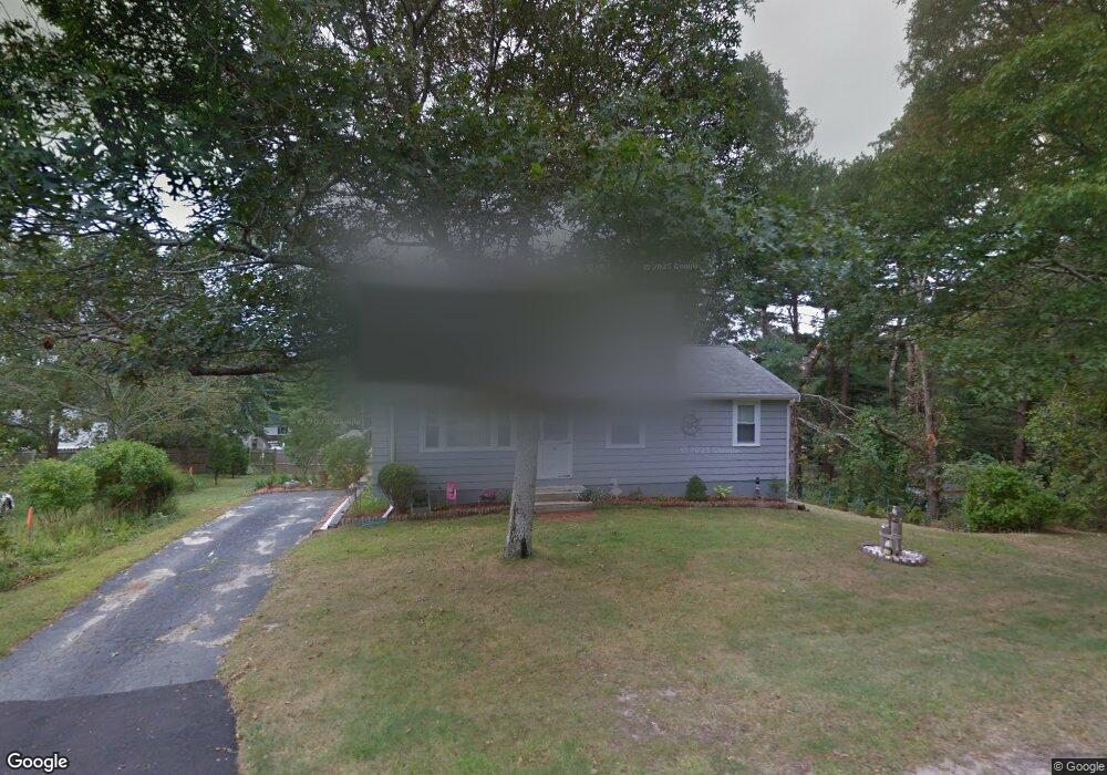
15 Tower Cir Bourne, MA 2532
Monument Beach NeighborhoodEstimated Value: $512,410 - $569,000
3
Beds
1
Bath
1,140
Sq Ft
$467/Sq Ft
Est. Value
About This Home
This home is located at 15 Tower Cir, Bourne, MA 2532 and is currently estimated at $532,353, approximately $466 per square foot. 15 Tower Cir is a home located in Barnstable County with nearby schools including Bourne High School, Cadence Academy Preschool - Bourne, and St Margaret Regional School.
Ownership History
Date
Name
Owned For
Owner Type
Purchase Details
Closed on
Feb 1, 2018
Sold by
Rochefort Gary A and Rochefort Susan R
Bought by
Rochefort Ft and Rochefort
Current Estimated Value
Purchase Details
Closed on
May 5, 2008
Sold by
Besly Elizabeth A and Kennelly Elizabeth A
Bought by
Rochefort Gary A and Rochefort Susan R
Home Financials for this Owner
Home Financials are based on the most recent Mortgage that was taken out on this home.
Original Mortgage
$145,000
Interest Rate
5.99%
Mortgage Type
Purchase Money Mortgage
Purchase Details
Closed on
Mar 25, 1997
Sold by
Johnson Kenneth H
Bought by
Baronsky Mary Jane
Create a Home Valuation Report for This Property
The Home Valuation Report is an in-depth analysis detailing your home's value as well as a comparison with similar homes in the area
Home Values in the Area
Average Home Value in this Area
Purchase History
| Date | Buyer | Sale Price | Title Company |
|---|---|---|---|
| Rochefort Ft | -- | -- | |
| Rochefort Ft | -- | -- | |
| Rochefort Gary A | $185,000 | -- | |
| Rochefort Gary A | $185,000 | -- | |
| Baronsky Mary Jane | $93,000 | -- | |
| Baronsky Mary Jane | $93,000 | -- |
Source: Public Records
Mortgage History
| Date | Status | Borrower | Loan Amount |
|---|---|---|---|
| Previous Owner | Baronsky Mary Jane | $135,000 | |
| Previous Owner | Baronsky Mary Jane | $140,000 | |
| Previous Owner | Rochefort Gary A | $145,000 |
Source: Public Records
Tax History
| Year | Tax Paid | Tax Assessment Tax Assessment Total Assessment is a certain percentage of the fair market value that is determined by local assessors to be the total taxable value of land and additions on the property. | Land | Improvement |
|---|---|---|---|---|
| 2025 | $3,636 | $465,500 | $180,500 | $285,000 |
| 2024 | $3,555 | $443,300 | $171,900 | $271,400 |
| 2023 | $3,456 | $392,300 | $152,100 | $240,200 |
| 2022 | $3,283 | $325,400 | $134,600 | $190,800 |
| 2021 | $0 | $242,500 | $122,500 | $120,000 |
| 2020 | $2,552 | $234,900 | $121,300 | $113,600 |
| 2019 | $0 | $228,500 | $121,300 | $107,200 |
| 2018 | $2,238 | $212,300 | $115,600 | $96,700 |
| 2017 | $0 | $204,500 | $108,800 | $95,700 |
| 2016 | $2,032 | $200,000 | $108,800 | $91,200 |
| 2015 | $1,898 | $188,500 | $97,300 | $91,200 |
Source: Public Records
Map
Nearby Homes
- 566 Shore Rd
- 203 County Rd
- 16 Amberwood Ct
- 20 Colony Ave
- 4 Harbor Hill Dr
- 12 Turnberry Rd Unit 12
- 13 Laurel Hill Ct
- 4 Hollyhock Knoll Ct Unit 4
- 4 Hollyhock Knoll Ct Unit 4
- 5 Sea Knoll Ct
- 5 Zoli Ln
- 14 Navajo Rd
- 709 County Rd
- 35 Benedict Rd
- 3 1st St
- 254 Barlows Landing Rd
- 3 4th Ave
- 7 4th Ave
- 44 Cotuit Rd
- 16 Michael Rd
Your Personal Tour Guide
Ask me questions while you tour the home.