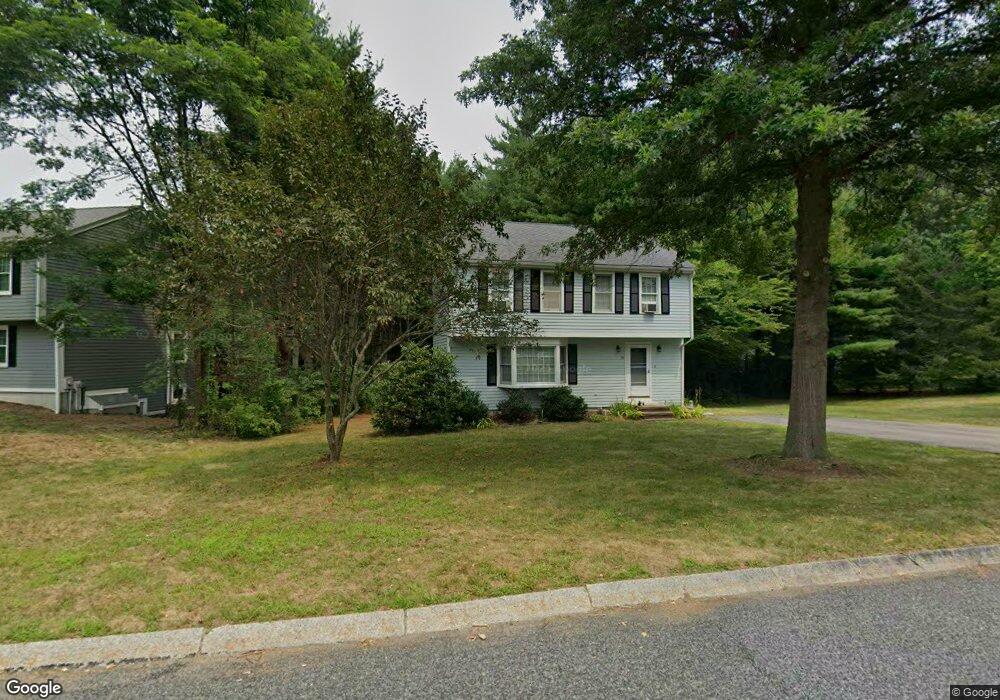
15 Tracy Cir Mansfield, MA 02048
Estimated Value: $636,026 - $747,000
3
Beds
2
Baths
1,548
Sq Ft
$445/Sq Ft
Est. Value
About This Home
This home is located at 15 Tracy Cir, Mansfield, MA 02048 and is currently estimated at $689,507, approximately $445 per square foot. 15 Tracy Cir is a home located in Bristol County with nearby schools including Jordan/Jackson Elementary School, Everett W. Robinson Elementary School, and Harold L. Qualters Middle School.
Ownership History
Date
Name
Owned For
Owner Type
Purchase Details
Closed on
Sep 6, 2001
Sold by
Haines Dvone E and Haines Frederick W
Bought by
Zhou Li and Tang Ying
Current Estimated Value
Home Financials for this Owner
Home Financials are based on the most recent Mortgage that was taken out on this home.
Original Mortgage
$226,400
Interest Rate
7.05%
Mortgage Type
Purchase Money Mortgage
Purchase Details
Closed on
Jan 12, 1993
Sold by
East Coast Dev Ltd
Bought by
Longacre Devon E and Haines Frederick W
Home Financials for this Owner
Home Financials are based on the most recent Mortgage that was taken out on this home.
Original Mortgage
$117,200
Interest Rate
8.24%
Mortgage Type
Purchase Money Mortgage
Create a Home Valuation Report for This Property
The Home Valuation Report is an in-depth analysis detailing your home's value as well as a comparison with similar homes in the area
Home Values in the Area
Average Home Value in this Area
Purchase History
| Date | Buyer | Sale Price | Title Company |
|---|---|---|---|
| Zhou Li | $283,000 | -- | |
| Longacre Devon E | $146,500 | -- |
Source: Public Records
Mortgage History
| Date | Status | Borrower | Loan Amount |
|---|---|---|---|
| Open | Longacre Devon E | $224,500 | |
| Closed | Longacre Devon E | $226,400 | |
| Previous Owner | Longacre Devon E | $117,700 | |
| Previous Owner | Longacre Devon E | $117,200 |
Source: Public Records
Tax History Compared to Growth
Tax History
| Year | Tax Paid | Tax Assessment Tax Assessment Total Assessment is a certain percentage of the fair market value that is determined by local assessors to be the total taxable value of land and additions on the property. | Land | Improvement |
|---|---|---|---|---|
| 2025 | $7,211 | $547,500 | $260,400 | $287,100 |
| 2024 | $7,208 | $533,900 | $271,800 | $262,100 |
| 2023 | $7,044 | $499,900 | $271,800 | $228,100 |
| 2022 | $6,816 | $449,300 | $251,600 | $197,700 |
| 2021 | $3,233 | $421,500 | $209,700 | $211,800 |
| 2020 | $6,387 | $415,800 | $209,700 | $206,100 |
| 2019 | $5,860 | $385,000 | $174,700 | $210,300 |
| 2018 | $5,806 | $372,900 | $166,500 | $206,400 |
| 2017 | $5,442 | $362,300 | $161,700 | $200,600 |
| 2016 | $5,226 | $339,100 | $154,000 | $185,100 |
| 2015 | $5,106 | $329,400 | $154,000 | $175,400 |
Source: Public Records
Map
Nearby Homes
- 571 Ware St
- 460 Ware St
- 442 Ware St
- 18 Columbine Rd
- 15 Rock Ln
- Lot 3 Birch Ln
- 15 Reservoir St Unit 44
- 212 Mill St
- 21 Juniper Rd
- 0 Kensington Rd
- 12 Sylvan Rd
- 0 Brook Pkwy
- 15 Patten Rd
- 631 East St Unit E203
- 0 Knollwood & 0 Rear Kensington
- 28 Court St
- 10 Ridge Rd
- 23 Indian Rd
- 6 Horton Dr
- 157 Mansfield Ave Unit 14