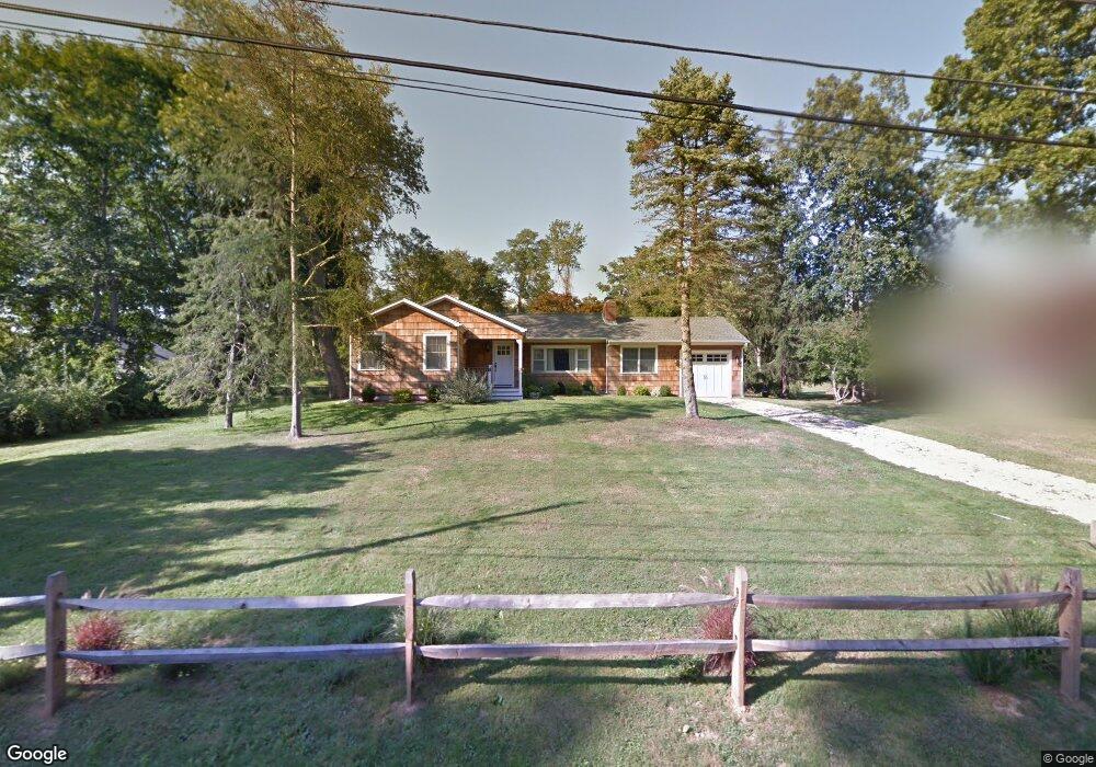
15 Wade Rd Shelter Island, NY 11964
Estimated Value: $1,565,859 - $1,889,000
3
Beds
2
Baths
1,800
Sq Ft
$960/Sq Ft
Est. Value
About This Home
This home is located at 15 Wade Rd, Shelter Island, NY 11964 and is currently estimated at $1,727,430, approximately $959 per square foot. 15 Wade Rd is a home located in Suffolk County with nearby schools including Shelter Island School.
Ownership History
Date
Name
Owned For
Owner Type
Purchase Details
Closed on
Oct 6, 2014
Sold by
Colombo Renee
Bought by
Wong Anthony C and Wong Elly K
Current Estimated Value
Purchase Details
Closed on
Sep 26, 2011
Sold by
Kraus Charles J and Kraus Linda
Bought by
Colombo Renee
Home Financials for this Owner
Home Financials are based on the most recent Mortgage that was taken out on this home.
Original Mortgage
$487,600
Interest Rate
4.2%
Mortgage Type
Purchase Money Mortgage
Purchase Details
Closed on
May 10, 2004
Sold by
Bono Josephine L
Bought by
Laspia Blake F and Droste Amanda
Create a Home Valuation Report for This Property
The Home Valuation Report is an in-depth analysis detailing your home's value as well as a comparison with similar homes in the area
Home Values in the Area
Average Home Value in this Area
Purchase History
| Date | Buyer | Sale Price | Title Company |
|---|---|---|---|
| Wong Anthony C | $675,000 | Fidelity National Title | |
| Colombo Renee | $609,500 | -- | |
| Laspia Blake F | -- | Fidelity National Title Insu |
Source: Public Records
Mortgage History
| Date | Status | Borrower | Loan Amount |
|---|---|---|---|
| Previous Owner | Colombo Renee | $487,600 |
Source: Public Records
Tax History Compared to Growth
Tax History
| Year | Tax Paid | Tax Assessment Tax Assessment Total Assessment is a certain percentage of the fair market value that is determined by local assessors to be the total taxable value of land and additions on the property. | Land | Improvement |
|---|---|---|---|---|
| 2024 | $2,646 | $915,500 | $248,100 | $667,400 |
| 2023 | $2,646 | $915,500 | $248,100 | $667,400 |
| 2022 | $5,224 | $830,000 | $248,000 | $582,000 |
| 2021 | $5,056 | $830,000 | $248,000 | $582,000 |
| 2020 | $4,959 | $815,000 | $248,000 | $567,000 |
| 2019 | $4,959 | $0 | $0 | $0 |
| 2018 | $4,739 | $810,000 | $309,400 | $500,600 |
| 2017 | $4,739 | $795,000 | $193,600 | $601,400 |
| 2016 | $4,173 | $685,000 | $184,400 | $500,600 |
| 2015 | -- | $621,000 | $193,600 | $427,400 |
| 2014 | -- | $606,000 | $211,200 | $394,800 |
Source: Public Records
Map
Nearby Homes
- 64 N Cartwright Rd
- 3a/3b Pandion Rd Unit 3a/3b
- 4 Duvall Rd
- 139 A N Ferry Rd
- 10 Sunshine Rd Unit B
- 47B S Ferry Rd
- 1 Meadow Place
- 64 N Rd
- 7 Grand Ave
- 5 Grand Ave
- 10 Strawberry Ln
- 33B S Midway Rd
- 8 Cove Way
- 47L S Ferry Rd
- 61 Gardiners Bay Dr
- 20 Prospect Ave
- 3 Bayview Ave
- 11 Sunnyside Ave
- 5 N Menantic Rd
- 1 Gazon Rd