15 Wannacomet Rd Nantucket, MA 02554
Estimated Value: $3,417,546 - $3,808,000
4
Beds
3
Baths
2,370
Sq Ft
$1,500/Sq Ft
Est. Value
About This Home
This home is located at 15 Wannacomet Rd, Nantucket, MA 02554 and is currently estimated at $3,554,137, approximately $1,499 per square foot. 15 Wannacomet Rd is a home located in Nantucket County with nearby schools including Nantucket Elementary School, Cyrus Peirce Middle School, and Nantucket High School.
Ownership History
Date
Name
Owned For
Owner Type
Purchase Details
Closed on
May 26, 2006
Sold by
Arrowhead Nursery T
Bought by
Weeweeder Llc
Current Estimated Value
Home Financials for this Owner
Home Financials are based on the most recent Mortgage that was taken out on this home.
Original Mortgage
$850,000
Outstanding Balance
$498,611
Interest Rate
6.53%
Estimated Equity
$3,055,526
Purchase Details
Closed on
Dec 28, 1988
Sold by
Carter John M
Bought by
Baer Stephen D
Home Financials for this Owner
Home Financials are based on the most recent Mortgage that was taken out on this home.
Original Mortgage
$302,000
Interest Rate
10.26%
Mortgage Type
Purchase Money Mortgage
Create a Home Valuation Report for This Property
The Home Valuation Report is an in-depth analysis detailing your home's value as well as a comparison with similar homes in the area
Home Values in the Area
Average Home Value in this Area
Purchase History
| Date | Buyer | Sale Price | Title Company |
|---|---|---|---|
| Weeweeder Llc | -- | -- | |
| Baer Stephen D | $377,500 | -- |
Source: Public Records
Mortgage History
| Date | Status | Borrower | Loan Amount |
|---|---|---|---|
| Open | Weeweeder Llc | $850,000 | |
| Previous Owner | Baer Stephen D | $302,000 |
Source: Public Records
Tax History Compared to Growth
Tax History
| Year | Tax Paid | Tax Assessment Tax Assessment Total Assessment is a certain percentage of the fair market value that is determined by local assessors to be the total taxable value of land and additions on the property. | Land | Improvement |
|---|---|---|---|---|
| 2025 | $8,758 | $2,670,000 | $1,369,400 | $1,300,600 |
| 2024 | $8,525 | $2,723,600 | $1,441,400 | $1,282,200 |
| 2023 | $7,444 | $2,319,000 | $1,376,600 | $942,400 |
| 2022 | $7,658 | $1,864,100 | $1,161,400 | $702,700 |
| 2021 | $6,767 | $1,864,100 | $1,161,400 | $702,700 |
| 2020 | $6,558 | $1,900,900 | $1,161,400 | $739,500 |
| 2019 | $6,241 | $1,857,400 | $1,117,900 | $739,500 |
| 2018 | $6,350 | $1,798,900 | $1,117,900 | $681,000 |
| 2017 | $6,034 | $1,780,000 | $1,117,900 | $662,100 |
| 2016 | $5,917 | $1,761,100 | $1,117,900 | $643,200 |
Source: Public Records
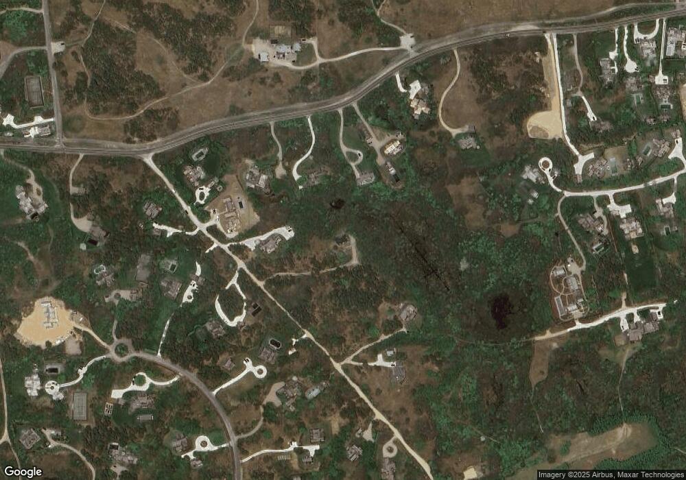
Map
Nearby Homes
- 178 Cliff Rd
- 17 Wannacomet Rd
- 182 Cliff Rd
- 9 Wannacomet Rd
- 186 Cliff Rd
- 3 Wannacomet Rd
- 188 Cliff Rd
- 7 Maxey Pond Rd
- 170 Cliff Rd
- 9 Maxey Pond Rd
- 166 Cliff Rd
- 12 Wannacomet Rd
- 5 Maxey Pond Rd
- 190 Cliff Rd
- 5 Wannacomet Rd
- 11 Maxey Pond Rd
- 168 Cliff Rd
- 3 Maxey Pond Rd
- 194 Cliff Rd
- 10 Hickory Meadow Ln