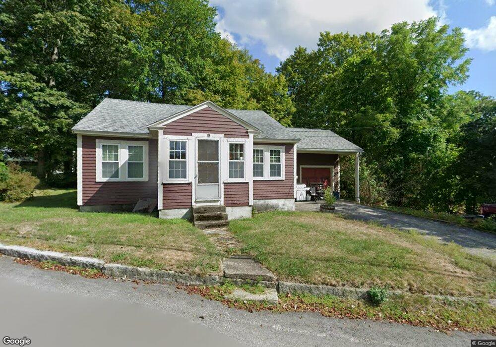
15 Whiting Hill Rd Wilton, NH 03086
Estimated Value: $365,380 - $417,000
3
Beds
1
Bath
1,442
Sq Ft
$269/Sq Ft
Est. Value
About This Home
This home is located at 15 Whiting Hill Rd, Wilton, NH 03086 and is currently estimated at $387,345, approximately $268 per square foot. 15 Whiting Hill Rd is a home located in Hillsborough County with nearby schools including Florence Rideout Elementary School, Wilton-Lyndeborough Cooperative Middle School, and Wilton-Lyndeborough Cooperative High School.
Ownership History
Date
Name
Owned For
Owner Type
Purchase Details
Closed on
May 3, 1999
Sold by
Miller Richard S and Miller Paula C
Bought by
Pellerin Kenneth M
Current Estimated Value
Home Financials for this Owner
Home Financials are based on the most recent Mortgage that was taken out on this home.
Original Mortgage
$78,221
Outstanding Balance
$20,060
Interest Rate
6.95%
Estimated Equity
$367,285
Create a Home Valuation Report for This Property
The Home Valuation Report is an in-depth analysis detailing your home's value as well as a comparison with similar homes in the area
Home Values in the Area
Average Home Value in this Area
Purchase History
| Date | Buyer | Sale Price | Title Company |
|---|---|---|---|
| Pellerin Kenneth M | $85,000 | -- |
Source: Public Records
Mortgage History
| Date | Status | Borrower | Loan Amount |
|---|---|---|---|
| Open | Pellerin Kenneth M | $78,221 |
Source: Public Records
Tax History Compared to Growth
Tax History
| Year | Tax Paid | Tax Assessment Tax Assessment Total Assessment is a certain percentage of the fair market value that is determined by local assessors to be the total taxable value of land and additions on the property. | Land | Improvement |
|---|---|---|---|---|
| 2024 | $5,486 | $220,600 | $86,500 | $134,100 |
| 2023 | $4,897 | $220,600 | $86,500 | $134,100 |
| 2022 | $4,558 | $220,600 | $86,500 | $134,100 |
| 2021 | $4,240 | $220,600 | $86,500 | $134,100 |
| 2020 | $4,802 | $163,400 | $64,000 | $99,400 |
| 2019 | $4,745 | $163,400 | $64,000 | $99,400 |
| 2018 | $4,699 | $163,400 | $64,000 | $99,400 |
| 2017 | $4,440 | $163,400 | $64,000 | $99,400 |
| 2016 | $4,304 | $163,400 | $64,000 | $99,400 |
| 2015 | $4,072 | $154,600 | $64,500 | $90,100 |
| 2014 | $3,989 | $154,600 | $64,500 | $90,100 |
| 2013 | $4,023 | $154,600 | $64,500 | $90,100 |
Source: Public Records
Map
Nearby Homes
- 8 Maple St
- 10 Mill St
- 27 Island St
- 134 Falcon Ridge Rd Unit 23
- 81 Abbot Hill Acres
- 88 McGettigan Rd Unit 88-6-1
- F-88-11 Aria Hill Dr
- F-88-12 Aria Hill Dr
- F-88-7 Aria Hill Dr
- F-88-10 Aria Hill Dr
- Lot F-88-9 Aria Hill Dr
- F/88-5 McGettigan Rd
- F/88-4 McGettigan Rd
- 545 Elm St Unit 34
- Lots 4 & 7 Gibbons & Robbins Rd
- 0 Marden Rd
- 131 Homestead Cir
- 30 Holden Ln
- 59 Goldsmith Rd
- 344 Elm St Unit 41
- 7 Whiting Hill Rd
- 14 Whiting Hill Rd
- 10 Whiting Hill Rd
- 3 Whiting Hill Rd
- 7 Gregg St
- 1 Forest Rd
- 21 Whiting Hill Rd
- 1 Whiting Hill Rd
- 10 Main St Unit 18
- 10 Main St
- 10 Main St Unit 10
- 10 Main St Unit 1
- 10 Main St Unit 19
- 10 Main St Unit 5
- 10 Main St Unit 17
- 10 Main St Unit 9
- 8 Bales Hill Rd
- 3 Forest Rd
- 38 Park St
- 32 Park St