Estimated Value: $302,116 - $334,000
--
Bed
2
Baths
2,074
Sq Ft
$152/Sq Ft
Est. Value
About This Home
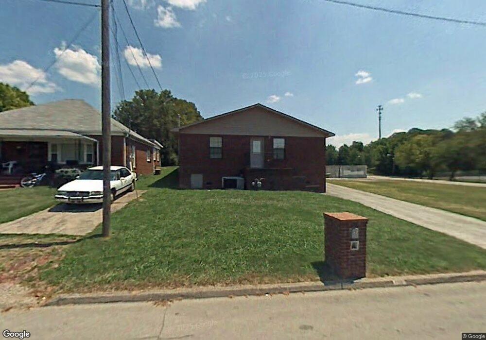
This home is located at 150 Burns St, Alcoa, TN 37701 and is currently estimated at $314,779, approximately $151 per square foot. 150 Burns St is a home located in Blount County with nearby schools including Alcoa Elementary School, Alcoa Middle School, and Alcoa High School.
Ownership History
Date
Name
Owned For
Owner Type
Purchase Details
Closed on
Dec 4, 2020
Sold by
Young Jack
Bought by
Tate Celisa Caroline and Tate Curtis Darnell
Current Estimated Value
Home Financials for this Owner
Home Financials are based on the most recent Mortgage that was taken out on this home.
Original Mortgage
$145,600
Outstanding Balance
$129,329
Interest Rate
2.7%
Mortgage Type
New Conventional
Estimated Equity
$185,450
Purchase Details
Closed on
Jun 30, 2000
Bought by
Young Jack
Purchase Details
Closed on
Nov 23, 1938
Bought by
Wilfong John and Wilfong May
Create a Home Valuation Report for This Property
The Home Valuation Report is an in-depth analysis detailing your home's value as well as a comparison with similar homes in the area
Home Values in the Area
Average Home Value in this Area
Purchase History
| Date | Buyer | Sale Price | Title Company |
|---|---|---|---|
| Tate Celisa Caroline | $145,600 | -- | |
| Young Jack | $1,000 | -- | |
| Wilfong John | -- | -- |
Source: Public Records
Mortgage History
| Date | Status | Borrower | Loan Amount |
|---|---|---|---|
| Open | Tate Celisa Caroline | $145,600 |
Source: Public Records
Tax History Compared to Growth
Tax History
| Year | Tax Paid | Tax Assessment Tax Assessment Total Assessment is a certain percentage of the fair market value that is determined by local assessors to be the total taxable value of land and additions on the property. | Land | Improvement |
|---|---|---|---|---|
| 2025 | -- | $87,775 | $0 | $0 |
| 2024 | $2,879 | $87,775 | $7,500 | $80,275 |
| 2023 | $2,879 | $87,775 | $7,500 | $80,275 |
| 2022 | $2,253 | $47,550 | $3,750 | $43,800 |
| 2021 | $2,253 | $47,550 | $3,750 | $43,800 |
| 2020 | $2,253 | $47,550 | $3,750 | $43,800 |
| 2019 | $2,253 | $47,550 | $3,750 | $43,800 |
| 2018 | $1,953 | $44,100 | $3,200 | $40,900 |
| 2017 | $1,953 | $44,100 | $3,200 | $40,900 |
| 2016 | $1,953 | $44,100 | $3,200 | $40,900 |
| 2015 | $1,813 | $44,100 | $3,200 | $40,900 |
| 2014 | $1,682 | $44,100 | $3,200 | $40,900 |
| 2013 | $1,682 | $40,925 | $0 | $0 |
Source: Public Records
Map
Nearby Homes
- 218 Burns St
- 124 Olympia Dr
- 250 S Rankin Rd
- 233 Olympia Dr
- 1231 Jefferson Ave
- 1208 Madison Ave
- 239 Lindsay St
- 255 Sanderson St
- 1242 Jefferson Ave
- 106 Regal Tower
- 110 Regal Tower
- 111 Regal Tower
- 1301 Jefferson Ave
- 507 Rule St
- 0 Hannum St
- 252 Glascock St
- 1304 Jefferson Ave
- 607 Regal Tower
- 412 Rule St
- 203 Mcginley St
- 156 Burns St
- 239 Aluminum Ave
- 167 Bessie Harvey Ave
- 227 Aluminum Ave
- 151 Burns St
- 157 Burns St
- 165 Burns St
- 252 Andy Carr Ave
- 258 Andy Carr Ave
- 244 Andy Carr Ave
- 224 Andy Carr Ave
- 160 Bessie Harvey Ave
- 220 Andy Carr Ave
- 154 Bessie Harvey Ave
- 215 Aluminum Ave
- 164 Bessie Harvey Ave
- 168 Bessie Harvey Ave
- 146 Badgett St
- 247 Andy Carr Ave
- 203 Bessie Harvey Ave