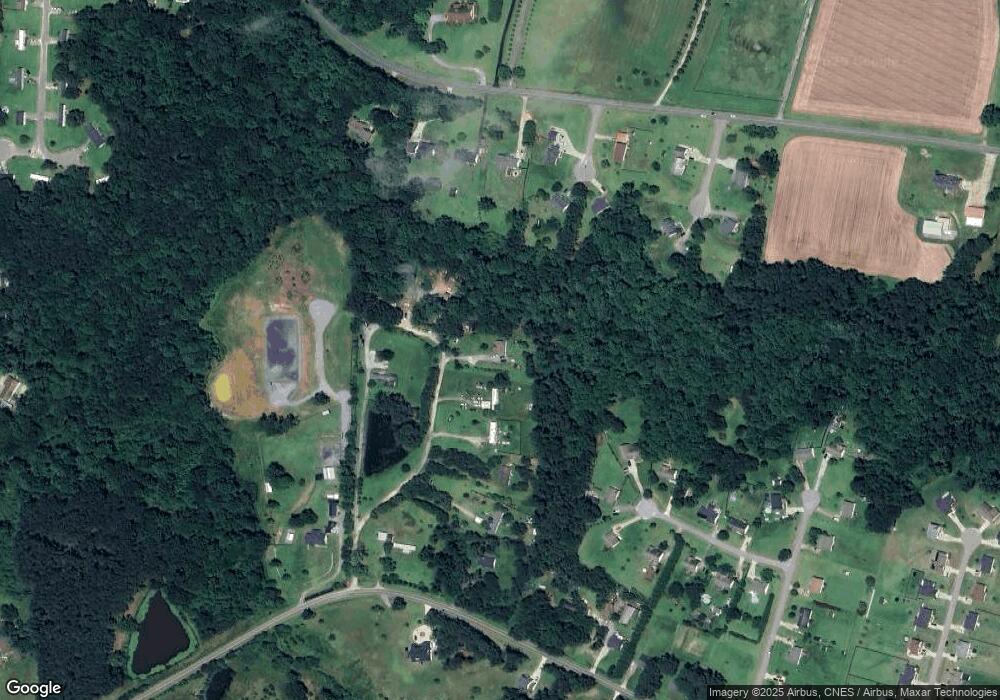
150 Pond Cir Willow Spring, NC 27592
Pleasant Grove NeighborhoodEstimated Value: $244,000 - $317,196
3
Beds
2
Baths
1,324
Sq Ft
$221/Sq Ft
Est. Value
About This Home
This home is located at 150 Pond Cir, Willow Spring, NC 27592 and is currently estimated at $292,799, approximately $221 per square foot. 150 Pond Cir is a home located in Johnston County with nearby schools including Dixon Road Elementary School, McGee's Crossroads Middle School, and West Johnston High School.
Ownership History
Date
Name
Owned For
Owner Type
Purchase Details
Closed on
Jun 6, 2006
Sold by
Wachovia Bank N A
Bought by
Luna Rafael and Arriaga Bertha Lilia Lira
Current Estimated Value
Home Financials for this Owner
Home Financials are based on the most recent Mortgage that was taken out on this home.
Original Mortgage
$76,500
Interest Rate
7.5%
Mortgage Type
Fannie Mae Freddie Mac
Purchase Details
Closed on
Feb 9, 2004
Sold by
Davis Grace
Bought by
Tiddy Brian
Create a Home Valuation Report for This Property
The Home Valuation Report is an in-depth analysis detailing your home's value as well as a comparison with similar homes in the area
Home Values in the Area
Average Home Value in this Area
Purchase History
| Date | Buyer | Sale Price | Title Company |
|---|---|---|---|
| Luna Rafael | $85,000 | None Available | |
| Tiddy Brian | $2,500 | -- |
Source: Public Records
Mortgage History
| Date | Status | Borrower | Loan Amount |
|---|---|---|---|
| Previous Owner | Luna Rafael | $76,500 |
Source: Public Records
Tax History
| Year | Tax Paid | Tax Assessment Tax Assessment Total Assessment is a certain percentage of the fair market value that is determined by local assessors to be the total taxable value of land and additions on the property. | Land | Improvement |
|---|---|---|---|---|
| 2025 | $1,932 | $303,540 | $109,630 | $193,910 |
| 2024 | $1,059 | $129,890 | $38,570 | $91,320 |
| 2023 | $1,027 | $129,890 | $38,570 | $91,320 |
| 2022 | $1,052 | $129,890 | $38,570 | $91,320 |
| 2021 | $1,052 | $129,890 | $38,570 | $91,320 |
| 2020 | $1,091 | $129,890 | $38,570 | $91,320 |
| 2019 | $1,065 | $129,890 | $38,570 | $91,320 |
| 2018 | $994 | $118,360 | $29,750 | $88,610 |
| 2017 | $994 | $118,360 | $29,750 | $88,610 |
| 2016 | $994 | $118,360 | $29,750 | $88,610 |
| 2015 | $994 | $118,360 | $29,750 | $88,610 |
| 2014 | $994 | $118,360 | $29,750 | $88,610 |
Source: Public Records
Map
Nearby Homes
- 58 Tractor Place
- 55 Dolores Ct
- 200 Reese Dr
- 16 Saddle Ridge Dr
- 368 Artic Cir
- 304 Artic Cir
- 142 Jacqueline Dr
- 405 La Vista Ct
- 102 Ina Joe Place
- 47 Kiowa Ct
- 131 Artic Cir
- 50 Linden Ct
- 111 Artic Cir
- 59 Mineral Springs Way
- 160 W Fountainhead Ln
- 93 Hot Springs Way
- 122 Fountainhead Ln
- 32 Hot Springs Way
- 249 Bradley Dr
- 336 Tennyson Dr
- 140 Pond Cir
- 120 Pond Cir
- 222 Brookfield Ct
- 110 Pond Cir
- 104 Marie Ct
- 221 Brookfield Ct
- 110 Marie Ct
- 3121 Sanders Rd
- 3137 Sanders Rd
- 3151 Sanders Rd
- 110 Hollybrook Cir
- 90 Marie Ct
- 200 Brookfield Ct
- 101 Marie Ct
- 299 Roberts Rd
- 30 Pond Dr
- 30 Pond Dr Unit 8
- 201 Brookfield Ct
- 215 Roberts Rd
- 111 Hollybrook Cir
Your Personal Tour Guide
Ask me questions while you tour the home.
