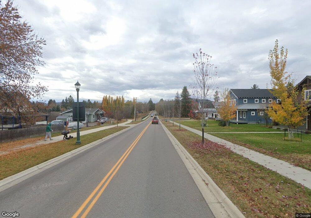
1500 2nd St E Whitefish, MT 59937
Estimated Value: $832,000 - $966,000
3
Beds
2
Baths
1,628
Sq Ft
$539/Sq Ft
Est. Value
About This Home
This home is located at 1500 2nd St E, Whitefish, MT 59937 and is currently estimated at $878,169, approximately $539 per square foot. 1500 2nd St E is a home located in Flathead County with nearby schools including L.A. Muldown School, Whitefish Middle School, and Whitefish High School.
Ownership History
Date
Name
Owned For
Owner Type
Purchase Details
Closed on
Nov 9, 2016
Sold by
Khoury Damian
Bought by
Sabin Dianne and Sabin Peter
Current Estimated Value
Home Financials for this Owner
Home Financials are based on the most recent Mortgage that was taken out on this home.
Original Mortgage
$357,500
Outstanding Balance
$287,011
Interest Rate
3.42%
Mortgage Type
Commercial
Estimated Equity
$591,159
Purchase Details
Closed on
Dec 29, 2015
Sold by
Montana Mountain Property Llc
Bought by
Lewandorwski Amy and Ridgeway Brad
Home Financials for this Owner
Home Financials are based on the most recent Mortgage that was taken out on this home.
Original Mortgage
$98,921
Interest Rate
3.94%
Mortgage Type
Purchase Money Mortgage
Purchase Details
Closed on
Oct 14, 2015
Sold by
High Point On 2Nd Street Llc
Bought by
Khoury Damian
Create a Home Valuation Report for This Property
The Home Valuation Report is an in-depth analysis detailing your home's value as well as a comparison with similar homes in the area
Home Values in the Area
Average Home Value in this Area
Purchase History
| Date | Buyer | Sale Price | Title Company |
|---|---|---|---|
| Sabin Dianne | -- | Insured Titles | |
| Lewandorwski Amy | -- | Fidelity National Title | |
| Khoury Damian | -- | Fidelity National Title |
Source: Public Records
Mortgage History
| Date | Status | Borrower | Loan Amount |
|---|---|---|---|
| Open | Sabin Dianne | $357,500 | |
| Previous Owner | Lewandorwski Amy | $98,921 |
Source: Public Records
Tax History Compared to Growth
Tax History
| Year | Tax Paid | Tax Assessment Tax Assessment Total Assessment is a certain percentage of the fair market value that is determined by local assessors to be the total taxable value of land and additions on the property. | Land | Improvement |
|---|---|---|---|---|
| 2025 | $3,209 | $885,900 | $0 | $0 |
| 2024 | $3,734 | $744,300 | $0 | $0 |
| 2023 | $4,257 | $744,300 | $0 | $0 |
| 2022 | $3,388 | $392,400 | $0 | $0 |
| 2021 | $3,247 | $392,400 | $0 | $0 |
| 2020 | $3,479 | $365,500 | $0 | $0 |
| 2019 | $3,711 | $365,500 | $0 | $0 |
| 2018 | $3,370 | $322,000 | $0 | $0 |
| 2017 | $3,140 | $322,000 | $0 | $0 |
Source: Public Records
Map
Nearby Homes
- 84 Wedgewood Ln
- 169 Mountain Brook Ln
- 1319 3rd St
- 1028 E 3rd St
- 573 Armory Rd
- 555 Park Ave
- 424 Somers Ave
- 1013 E 7th St Unit D
- 711 Park Ave
- 5150 U S 93
- 815 Waverly Place
- 824 10th St
- 919 Columbia Ave Unit A
- 235 Baker Ave Unit 203
- 300 2nd St E Unit 2
- 301 2nd St E Unit 2D
- 220 2nd St E Unit 201
- 220 2nd St E Unit 204
- 220 2nd St E Unit 202
- 214 2nd St E Unit Suite 302
- 97 Armory Rd Unit Lot 32
- 97 Armory Rd
- 1500 2nd St E Unit Lot 32
- 1500 2nd St E
- 89 Armory Rd Unit Lot 33
- 98 Armory Rd Unit Lot 27
- 98 Armory Rd
- 81 Armory Rd Unit Lot 34
- 81 Armory Rd
- 1515 2nd St E
- 88 Ponderosa Ct
- 84 Armory Rd Unit Lot 28
- 84 Armory Rd
- 92 Armory Rd Unit Lot 26
- 92 Armory Rd
- 100 Armory Rd
- 73 Armory Rd Unit Lot 35
- 73 Armory Rd
- 121 Armory Rd
- 82 Ponderosa Ct
