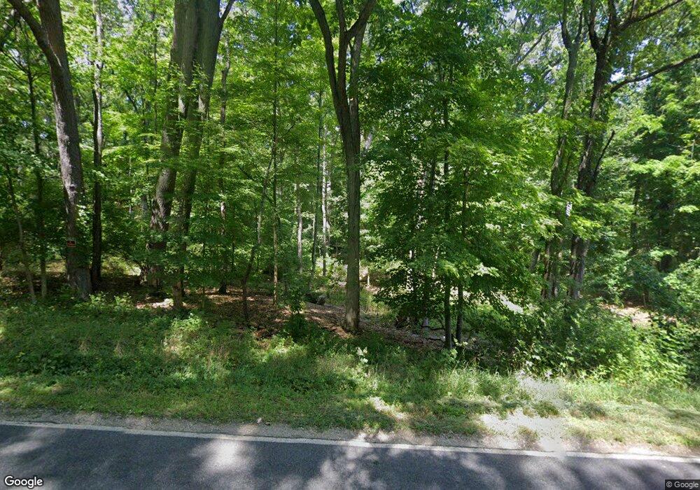
1500 Hatch Rd Jackson, MI 49201
Estimated Value: $41,833 - $310,000
3
Beds
--
Bath
1,604
Sq Ft
$128/Sq Ft
Est. Value
About This Home
This home is located at 1500 Hatch Rd, Jackson, MI 49201 and is currently estimated at $205,708, approximately $128 per square foot. 1500 Hatch Rd is a home located in Jackson County with nearby schools including Hanover-Horton Elementary School, Hanover-Horton Middle School, and Hanover-Horton High School.
Ownership History
Date
Name
Owned For
Owner Type
Purchase Details
Closed on
Dec 10, 2011
Sold by
Burgoyne Thomas and Burgoyne Leslie A
Bought by
Hurst Anthony P
Current Estimated Value
Purchase Details
Closed on
Aug 23, 2005
Sold by
Williams Leslie A
Bought by
Burgoyne Thomas and Burgoyne Leslie A
Home Financials for this Owner
Home Financials are based on the most recent Mortgage that was taken out on this home.
Original Mortgage
$153,000
Interest Rate
7.5%
Mortgage Type
Fannie Mae Freddie Mac
Purchase Details
Closed on
Mar 29, 1997
Sold by
Blair Bruce B and Blair Kathleen L
Bought by
Williams Leslie A
Create a Home Valuation Report for This Property
The Home Valuation Report is an in-depth analysis detailing your home's value as well as a comparison with similar homes in the area
Purchase History
| Date | Buyer | Sale Price | Title Company |
|---|---|---|---|
| Hurst Anthony P | $14,500 | None Available | |
| Burgoyne Thomas | -- | Transcontinental Title Gary | |
| Williams Leslie A | $147,000 | -- |
Source: Public Records
Mortgage History
| Date | Status | Borrower | Loan Amount |
|---|---|---|---|
| Previous Owner | Burgoyne Thomas | $153,000 |
Source: Public Records
Tax History
| Year | Tax Paid | Tax Assessment Tax Assessment Total Assessment is a certain percentage of the fair market value that is determined by local assessors to be the total taxable value of land and additions on the property. | Land | Improvement |
|---|---|---|---|---|
| 2025 | $825 | $27,500 | $0 | $0 |
| 2024 | $6 | $27,400 | $0 | $0 |
| 2022 | $728 | $22,600 | $0 | $0 |
| 2021 | $728 | $23,200 | $0 | $0 |
| 2020 | $746 | $21,800 | $0 | $0 |
| 2019 | $729 | $19,700 | $0 | $0 |
| 2018 | $712 | $19,000 | $0 | $0 |
| 2017 | $657 | $18,500 | $0 | $0 |
| 2016 | $543 | $18,400 | $18,400 | $0 |
| 2015 | -- | $17,700 | $17,700 | $0 |
| 2014 | -- | $18,700 | $0 | $0 |
| 2013 | -- | $18,700 | $18,700 | $0 |
Source: Public Records
Map
Nearby Homes
- 1678 W Kimmel Rd
- V/L Lindsey Rd
- 1865 Lindsey Rd
- 1923 E Kimmel Rd
- 2718 Lindsey Rd Unit 9
- VL Skiff Lake Rd
- VL-02 Skiff Lake Rd
- VL-03 Skiff Lake Rd
- VL-01 Skiff Lake Rd
- 4271 Indian Trail
- 7533 Nature View Dr
- 2500 Maulelane Dr
- 5160 Merriman Rd
- 6255 Maple Dale Rd
- 1840 Lexington Blvd
- 3460 Sears Rd
- 3404 Belgian Cir Unit 15
- 6000 Riverview Dr Unit 5
- 6000 Riverview Dr Unit 17
- 6076 Browns Lake Rd
