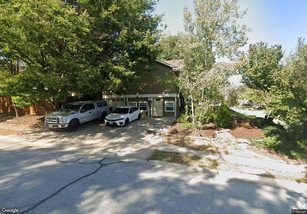
1500 NE Auburn Dr Lees Summit, MO 64086
Estimated Value: $308,604 - $361,000
4
Beds
3
Baths
1,390
Sq Ft
$242/Sq Ft
Est. Value
About This Home
This home is located at 1500 NE Auburn Dr, Lees Summit, MO 64086 and is currently estimated at $336,151, approximately $241 per square foot. 1500 NE Auburn Dr is a home located in Jackson County with nearby schools including Underwood Elementary School, Bernard C. Campbell Middle School, and Lee's Summit North High School.
Ownership History
Date
Name
Owned For
Owner Type
Purchase Details
Closed on
Jan 31, 2014
Sold by
Moore Jayson Richard and Moore Kimberly A
Bought by
Moore Jayson R and Moore Kimberly A
Current Estimated Value
Home Financials for this Owner
Home Financials are based on the most recent Mortgage that was taken out on this home.
Original Mortgage
$125,300
Outstanding Balance
$95,306
Interest Rate
4.51%
Mortgage Type
New Conventional
Estimated Equity
$240,845
Purchase Details
Closed on
Jan 22, 2004
Sold by
Moore Tiffany Marcella
Bought by
Moore Jayson Richard
Purchase Details
Closed on
May 17, 1999
Bought by
Moore Jayson R
Home Financials for this Owner
Home Financials are based on the most recent Mortgage that was taken out on this home.
Original Mortgage
$79,000
Interest Rate
7.04%
Mortgage Type
New Conventional
Purchase Details
Closed on
Feb 17, 1998
Sold by
Deeter Kip C
Bought by
Deeter Robin L and Ward Robin L
Home Financials for this Owner
Home Financials are based on the most recent Mortgage that was taken out on this home.
Original Mortgage
$79,500
Interest Rate
7.25%
Mortgage Type
Purchase Money Mortgage
Create a Home Valuation Report for This Property
The Home Valuation Report is an in-depth analysis detailing your home's value as well as a comparison with similar homes in the area
Home Values in the Area
Average Home Value in this Area
Purchase History
| Date | Buyer | Sale Price | Title Company |
|---|---|---|---|
| Moore Jayson R | -- | Secured Title Of Kansas City | |
| Moore Jayson Richard | -- | Old Republic Title Company | |
| Moore Jayson R | -- | -- | |
| Deeter Robin L | -- | Security Land Title Company |
Source: Public Records
Mortgage History
| Date | Status | Borrower | Loan Amount |
|---|---|---|---|
| Open | Moore Jayson R | $125,300 | |
| Closed | Moore Jayson R | $79,000 | |
| Previous Owner | Deeter Robin L | $79,500 |
Source: Public Records
Tax History
| Year | Tax Paid | Tax Assessment Tax Assessment Total Assessment is a certain percentage of the fair market value that is determined by local assessors to be the total taxable value of land and additions on the property. | Land | Improvement |
|---|---|---|---|---|
| 2025 | $3,079 | $46,485 | $7,765 | $38,720 |
| 2024 | $3,057 | $42,642 | $6,145 | $36,497 |
| 2023 | $3,057 | $42,642 | $5,704 | $36,938 |
| 2022 | $2,837 | $35,150 | $4,801 | $30,349 |
| 2021 | $2,896 | $35,150 | $4,801 | $30,349 |
| 2020 | $2,735 | $32,864 | $4,801 | $28,063 |
| 2019 | $2,660 | $32,864 | $4,801 | $28,063 |
| 2018 | $984,648 | $28,602 | $4,178 | $24,424 |
| 2016 | $2,454 | $27,854 | $4,237 | $23,617 |
Source: Public Records
Map
Nearby Homes
- 1412 NE Ernest Way
- 1404 NE Whitestone Dr
- 1138 NE Mulberry St
- 1701 NE Auburn Dr
- 27104 E Cedar Grove Dr
- 1629 NE Whitestone Dr
- 1118 NE Deerbrook Terrace
- 928 NE Mulberry St
- 1717 NE Luther Rd
- 1108 NE Ridgeview Dr
- 810 NE Chestnut St
- 809 NE Cedar St
- 905 NE Country Ln
- 1012 NE Lindsay Ave
- 816 NE Pollard St
- 1345 NE Foxwood Dr
- 1708 NE Balboa St
- 1000 NE Brookfield Dr
- 821 NE Colleen Dr
- 1325 NE Foxwood Dr
- 1504 NE Auburn Dr
- 1501 NE Ivory Ln
- 1405 NE Tawny Dr
- 1409 NE Tawny Dr
- 1505 NE Ivory Ln
- 1508 NE Auburn Dr
- 1501 NE Auburn Dr
- 1413 NE Tawny Dr
- 1505 NE Auburn Dr
- 1509 NE Ivory Ln
- 1509 NE Auburn Dr
- 1417 NE Tawny Dr
- 1419 NE Ivory Ln
- 1513 NE Ivory Ln
- 1426 NE Tawny Dr
- 1513 NE Auburn Dr
- 1421 NE Tawny Dr
- 1500 NE Ivory Ln
- 1516 NE Auburn Dr
- 1504 NE Ivory Ln