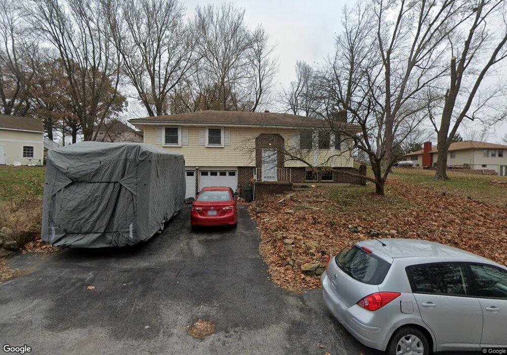
15005 Leipard Ln Platte City, MO 64079
Estimated Value: $261,860 - $322,000
3
Beds
2
Baths
1,084
Sq Ft
$260/Sq Ft
Est. Value
About This Home
This home is located at 15005 Leipard Ln, Platte City, MO 64079 and is currently estimated at $282,215, approximately $260 per square foot. 15005 Leipard Ln is a home located in Platte County with nearby schools including Platte County High School.
Ownership History
Date
Name
Owned For
Owner Type
Purchase Details
Closed on
Sep 1, 2023
Sold by
Anderson Richard T and Anderson Rebecca L
Bought by
Anderson Richard T and Anderson Rebecca L
Current Estimated Value
Home Financials for this Owner
Home Financials are based on the most recent Mortgage that was taken out on this home.
Original Mortgage
$232,200
Outstanding Balance
$227,135
Interest Rate
6.81%
Mortgage Type
VA
Estimated Equity
$55,080
Create a Home Valuation Report for This Property
The Home Valuation Report is an in-depth analysis detailing your home's value as well as a comparison with similar homes in the area
Home Values in the Area
Average Home Value in this Area
Purchase History
| Date | Buyer | Sale Price | Title Company |
|---|---|---|---|
| Anderson Richard T | -- | None Listed On Document |
Source: Public Records
Mortgage History
| Date | Status | Borrower | Loan Amount |
|---|---|---|---|
| Open | Anderson Richard T | $232,200 |
Source: Public Records
Tax History Compared to Growth
Tax History
| Year | Tax Paid | Tax Assessment Tax Assessment Total Assessment is a certain percentage of the fair market value that is determined by local assessors to be the total taxable value of land and additions on the property. | Land | Improvement |
|---|---|---|---|---|
| 2024 | $2,286 | $34,361 | $7,097 | $27,264 |
| 2023 | $2,286 | $34,361 | $7,097 | $27,264 |
| 2022 | $2,014 | $30,010 | $7,097 | $22,913 |
| 2021 | $2,020 | $30,010 | $7,097 | $22,913 |
| 2020 | $1,801 | $26,445 | $5,566 | $20,879 |
| 2019 | $1,801 | $26,445 | $5,566 | $20,879 |
| 2018 | $1,478 | $21,534 | $3,420 | $18,114 |
| 2017 | $1,471 | $21,534 | $3,420 | $18,114 |
| 2016 | $1,458 | $21,534 | $3,420 | $18,114 |
| 2015 | $1,458 | $21,534 | $3,420 | $18,114 |
| 2013 | $1,336 | $21,534 | $0 | $0 |
Source: Public Records
Map
Nearby Homes
- 14660 Cobblestone Dr
- 12815 NW 145th St
- 24 Timber Creek Dr
- 2305 Windmill Dr
- 2705 Mercer Ln
- 2609 Mercer Ln
- 2701 Mercer Ln
- 2709 Mercer Ln
- 105 Johnson Cir
- 4817 NW 140th St
- 2500 Windmill Dr
- Harmony Plan at Windmill Creek
- Hillman Plan at Windmill Creek
- 4812 NW 140th St
- Newcastle Plan at Windmill Creek
- Holcombe Plan at Windmill Creek
- Bellamy Plan at Windmill Creek
- Reagan Plan at Windmill Creek
- Chatham Plan at Windmill Creek
- 2503 Windmill Cir
- 14780 Red Rock Dr
- 12200 Leipard Ln
- 14785 Leipard Ln
- 14760 Red Rock Dr
- 14745 Red Rock Dr
- 14785 Red Rock Dr
- 14755 Leipard Ln
- 11950 Leipard Ln
- 14720 Red Rock Dr
- 11910 Leipard Ln
- 14715 Leipard Ln
- 14710 Red Rock Dr
- 14705 Leipard Ln
- lot 17 Stonegate N A
- 0000 Leipard Ln
- 0 Leipard Ln Unit 2153689
- 14680 Red Rock Dr
- 14675 Leipard Ln
- 14690 Leipard Ln
- 14675 Red Rock Dr