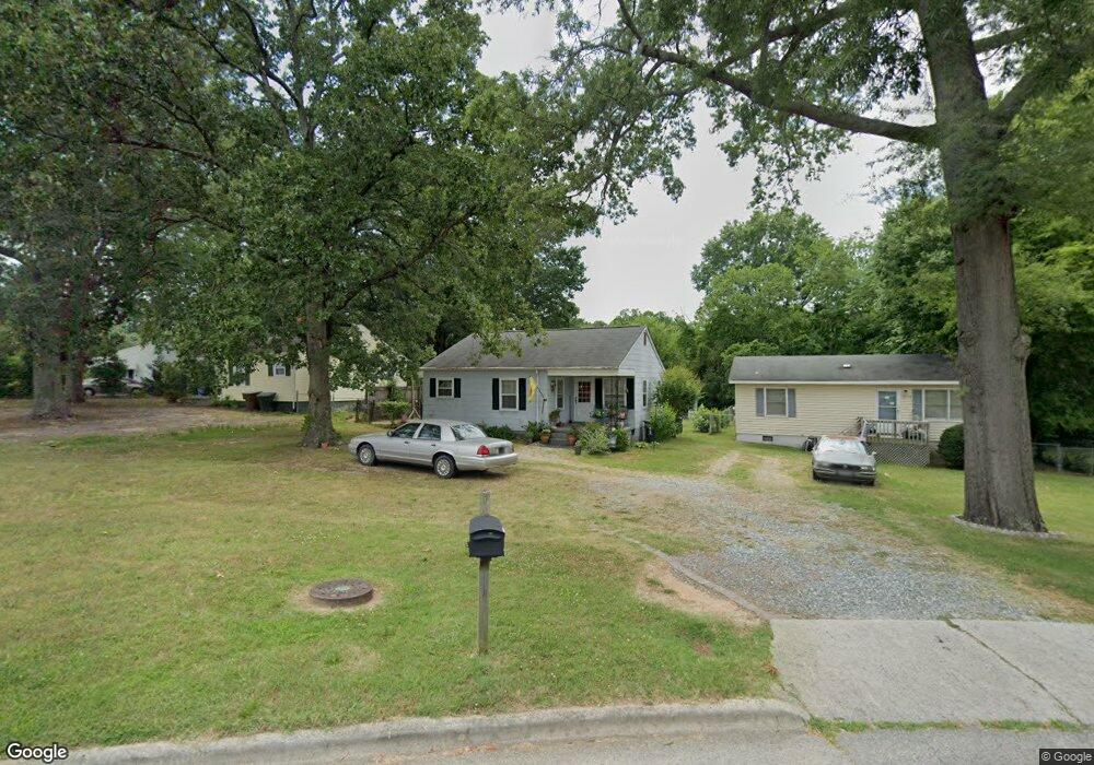
1503 Kay St Unit A Greensboro, NC 27405
White Oak NeighborhoodEstimated Value: $119,000 - $191,000
2
Beds
1
Bath
934
Sq Ft
$166/Sq Ft
Est. Value
About This Home
This home is located at 1503 Kay St Unit A, Greensboro, NC 27405 and is currently estimated at $154,874, approximately $165 per square foot. 1503 Kay St Unit A is a home located in Guilford County with nearby schools including Irving Park Elementary School, Melvin C. Swann Jr. Middle School, and Page High School.
Ownership History
Date
Name
Owned For
Owner Type
Purchase Details
Closed on
Oct 12, 2006
Sold by
Horner Howard Todd and Horner Delaina K
Bought by
Hendricks Jitruttana A
Current Estimated Value
Home Financials for this Owner
Home Financials are based on the most recent Mortgage that was taken out on this home.
Original Mortgage
$51,600
Outstanding Balance
$30,620
Interest Rate
6.36%
Mortgage Type
Purchase Money Mortgage
Estimated Equity
$124,254
Purchase Details
Closed on
Aug 8, 2006
Sold by
Combs Lee R C and Combs Joanna Martha
Bought by
Horner Howard Todd and Horner Delaina Kay
Purchase Details
Closed on
Sep 20, 2004
Sold by
Horner Howard Todd and Horner Delaina Kay
Bought by
Combs Lee R C and Combs Joanna Martha
Home Financials for this Owner
Home Financials are based on the most recent Mortgage that was taken out on this home.
Original Mortgage
$55,000
Interest Rate
5.71%
Mortgage Type
Seller Take Back
Create a Home Valuation Report for This Property
The Home Valuation Report is an in-depth analysis detailing your home's value as well as a comparison with similar homes in the area
Home Values in the Area
Average Home Value in this Area
Purchase History
| Date | Buyer | Sale Price | Title Company |
|---|---|---|---|
| Hendricks Jitruttana A | $64,500 | None Available | |
| Horner Howard Todd | -- | None Available | |
| Combs Lee R C | $55,000 | -- |
Source: Public Records
Mortgage History
| Date | Status | Borrower | Loan Amount |
|---|---|---|---|
| Open | Hendricks Jitruttana A | $51,600 | |
| Previous Owner | Combs Lee R C | $55,000 |
Source: Public Records
Tax History Compared to Growth
Tax History
| Year | Tax Paid | Tax Assessment Tax Assessment Total Assessment is a certain percentage of the fair market value that is determined by local assessors to be the total taxable value of land and additions on the property. | Land | Improvement |
|---|---|---|---|---|
| 2025 | $1,097 | $78,200 | $20,000 | $58,200 |
| 2024 | $1,097 | $78,200 | $20,000 | $58,200 |
| 2023 | $1,097 | $78,200 | $20,000 | $58,200 |
| 2022 | $1,066 | $78,200 | $20,000 | $58,200 |
| 2021 | $880 | $63,200 | $20,000 | $43,200 |
| 2020 | $880 | $63,200 | $20,000 | $43,200 |
| 2019 | $880 | $63,200 | $0 | $0 |
| 2018 | $855 | $63,200 | $0 | $0 |
| 2017 | $855 | $63,200 | $0 | $0 |
| 2016 | $950 | $68,600 | $0 | $0 |
| 2015 | $955 | $68,600 | $0 | $0 |
| 2014 | $962 | $68,600 | $0 | $0 |
Source: Public Records
Map
Nearby Homes
- 1502 Fairview St
- 1406 Fairview St
- 1307 Mayfair Ave
- 1600 N Ohenry Blvd
- 1605 Ball St
- 1728 Kay St
- 1600 Ridgewood Ave
- 1210 Summit Ave
- 1525 Tucker St
- 1507 Tucker St
- 1213 Lolly Ln
- 1317 Joyce St
- 1719 Phillips Ave
- 1804 Gordon St
- 2511 Campbell St
- 1703 Buffalo St
- 2412 Spruce St
- 110 Sunset Cir Unit 102
- 1609 17th St
- 1612 N English St
- 1503 Kay St Unit B
- 1501 Kay St
- 1505 Kay St
- 1505 Andover Ave
- 1507 Kay St
- 1506 Upland Dr
- 1504 Upland Dr
- 1511 Andover Ave
- 1502 Upland Dr
- 1508 Andover Ave
- 1503 Andover Ave
- 1510 Andover Ave
- 1506 Andover Ave
- 1510 Upland Dr
- 1509 Kay St
- 1512 Andover Ave
- 1504 Andover Ave
- 1500 Upland Dr
- 1512 Upland Dr
- 1517 Andover Ave