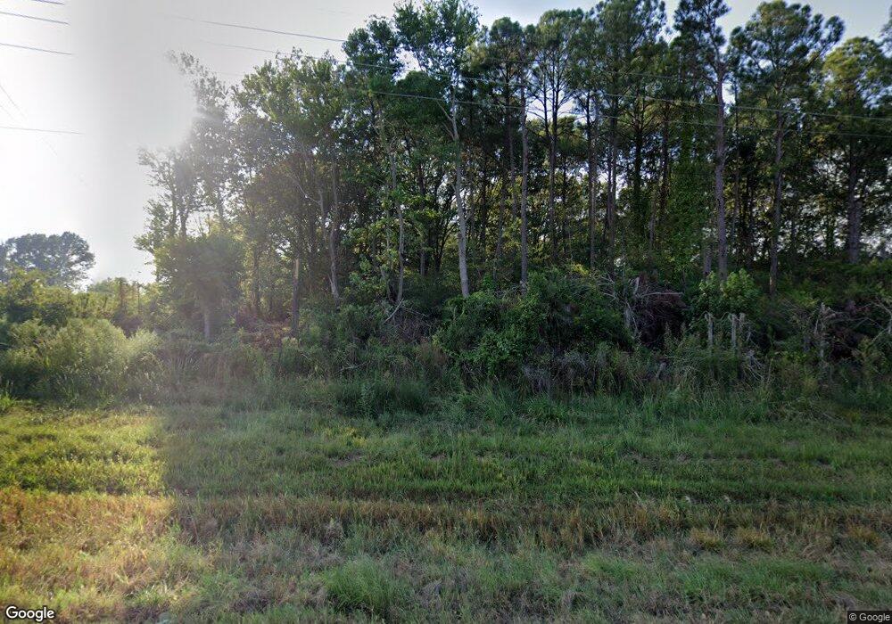
1505 Highway 51 Madison, MS 39110
Estimated Value: $371,000 - $572,000
4
Beds
1
Bath
2,222
Sq Ft
$213/Sq Ft
Est. Value
About This Home
This home is located at 1505 Highway 51, Madison, MS 39110 and is currently estimated at $473,333, approximately $213 per square foot. 1505 Highway 51 is a home located in Madison County with nearby schools including Madison Crossing Elementary School, Germantown Middle School, and Germantown High School.
Ownership History
Date
Name
Owned For
Owner Type
Purchase Details
Closed on
Nov 4, 2024
Sold by
Black Mitchell Michael
Bought by
Ryds Properties Llc
Current Estimated Value
Home Financials for this Owner
Home Financials are based on the most recent Mortgage that was taken out on this home.
Original Mortgage
$798,830
Outstanding Balance
$768,764
Interest Rate
5.16%
Mortgage Type
Credit Line Revolving
Estimated Equity
-$295,431
Purchase Details
Closed on
Aug 18, 2020
Sold by
Mitchell Michael Black
Bought by
Mitchell Michael Black
Create a Home Valuation Report for This Property
The Home Valuation Report is an in-depth analysis detailing your home's value as well as a comparison with similar homes in the area
Home Values in the Area
Average Home Value in this Area
Purchase History
| Date | Buyer | Sale Price | Title Company |
|---|---|---|---|
| Ryds Properties Llc | -- | None Listed On Document | |
| Mitchell Michael Black | -- | None Available |
Source: Public Records
Mortgage History
| Date | Status | Borrower | Loan Amount |
|---|---|---|---|
| Open | Ryds Properties Llc | $798,830 |
Source: Public Records
Tax History Compared to Growth
Tax History
| Year | Tax Paid | Tax Assessment Tax Assessment Total Assessment is a certain percentage of the fair market value that is determined by local assessors to be the total taxable value of land and additions on the property. | Land | Improvement |
|---|---|---|---|---|
| 2024 | $854 | $8,317 | $0 | $0 |
| 2023 | $854 | $8,318 | $0 | $0 |
| 2022 | $854 | $8,320 | $0 | $0 |
| 2021 | $820 | $8,142 | $0 | $0 |
| 2020 | $820 | $8,144 | $0 | $0 |
| 2019 | $0 | $5,448 | $0 | $0 |
| 2018 | $0 | $5,449 | $0 | $0 |
| 2017 | $0 | $5,398 | $0 | $0 |
| 2016 | $0 | $5,395 | $0 | $0 |
| 2015 | -- | $5,563 | $0 | $0 |
| 2014 | -- | $5,544 | $0 | $0 |
Source: Public Records
Map
Nearby Homes
- 1753 U S Highway 51
- 209 Sunset Cir
- 00 N Highway 51
- Lot 23 Wildwood Dr
- 157 Quail Hollow
- 000 N Highway 51 Hwy
- 519 Morning Glory Cove
- 213 Lakecrest Dr
- 201 Lakecrest Dr
- 0 Lansbury Way Unit 4110229
- 217 Weisenberger Rd
- 0 Weisenberger Rd
- 268 Sundial Rd
- 589 N Old Canton Rd
- 557 Spring Hill Dr
- 265 Woodland Brook Dr
- 0 Sundial Rd Unit 4104072
- 122 Eastwood Dr
- 245 Cooper Ln
- 113 Wells Ct
- 1517 Highway 51
- 1529 Highway 51
- 1495 Highway 51
- 1528 Highway 51 None
- 1465 Highway 51
- 1473 Highway 51
- 1470 Highway 51
- 266 Gross Rd
- 1450 Highway 51
- 1582 Highway 51
- 140 Saint Davids Way
- 1582 U S Highway 51
- 150 Saint Davids Way
- 130 Saint Davids Way
- 508 Eastpark St
- 508 Eastpark St Unit 33
- 104 Porter Ridge Dr
- 1556 Highway 51
- 120 Saint Davids Way
- 10 St Davids Way Unit 10
