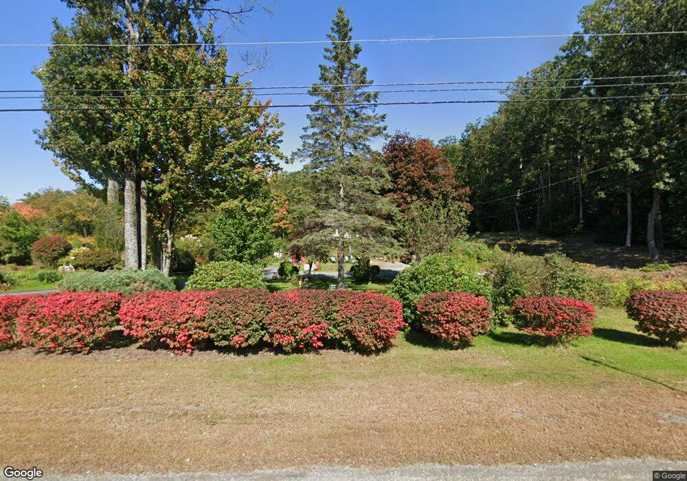
1505 Route 9 Spofford, NH 03462
Estimated Value: $238,000 - $338,000
1
Bed
1
Bath
957
Sq Ft
$306/Sq Ft
Est. Value
About This Home
This home is located at 1505 Route 9, Spofford, NH 03462 and is currently estimated at $292,489, approximately $305 per square foot. 1505 Route 9 is a home with nearby schools including Chesterfield Central School, Mayland Early College High School, and Keene High School.
Ownership History
Date
Name
Owned For
Owner Type
Purchase Details
Closed on
Oct 5, 2017
Sold by
Brooks Marjorie E
Bought by
Williams James S and Williams Lillian H
Current Estimated Value
Home Financials for this Owner
Home Financials are based on the most recent Mortgage that was taken out on this home.
Original Mortgage
$112,464
Outstanding Balance
$94,040
Interest Rate
3.86%
Mortgage Type
Purchase Money Mortgage
Estimated Equity
$198,449
Create a Home Valuation Report for This Property
The Home Valuation Report is an in-depth analysis detailing your home's value as well as a comparison with similar homes in the area
Home Values in the Area
Average Home Value in this Area
Purchase History
| Date | Buyer | Sale Price | Title Company |
|---|---|---|---|
| Williams James S | $105,000 | -- |
Source: Public Records
Mortgage History
| Date | Status | Borrower | Loan Amount |
|---|---|---|---|
| Open | Williams James S | $112,464 |
Source: Public Records
Tax History Compared to Growth
Tax History
| Year | Tax Paid | Tax Assessment Tax Assessment Total Assessment is a certain percentage of the fair market value that is determined by local assessors to be the total taxable value of land and additions on the property. | Land | Improvement |
|---|---|---|---|---|
| 2024 | $3,467 | $171,300 | $82,500 | $88,800 |
| 2023 | $3,395 | $171,300 | $82,500 | $88,800 |
| 2022 | $3,327 | $171,300 | $82,500 | $88,800 |
| 2021 | $3,256 | $171,300 | $82,500 | $88,800 |
| 2020 | $2,494 | $110,300 | $52,400 | $57,900 |
| 2019 | $3,098 | $138,800 | $52,400 | $86,400 |
| 2018 | $2,798 | $138,800 | $52,400 | $86,400 |
| 2016 | $2,951 | $138,800 | $52,400 | $86,400 |
| 2014 | $3,083 | $138,800 | $52,400 | $86,400 |
Source: Public Records
Map
Nearby Homes
- 36 Canal St
- 563 N Shore Rd
- 48 Church St
- 43 Westmoreland Rd
- 85 Foley Rd
- 484 Old Swanzey Rd
- 21 Valley Park Dr
- 123 Poocham Rd
- 821 Route 9
- 0 Stow Dr Unit 4929741
- 00 Orchard Rd Unit 1
- 28 Owens Dr Unit 92
- 28 Owens Dr Unit 94
- 136 Cross Rd
- 121 Pondview Rd
- 130 Watson Rd
- 30 Farr Rd
- Lot 20 -20.3 Farr Rd
- 15 Stearns Rd
- 90 Old Swanzey Rd
- 1479 Route 9
- 1475 Route 9
- 247 Old Chesterfield Rd
- 1494 Route 9
- 22 Old Chesterfield Rd
- 20 Old Chesterfield Rd
- 12 Old Chesterfield Rd
- Lot # 12-2 Pontiac Dr
- 0 Old Chesterfield Rd Unit 1
- 0 Old Chesterfield Rd Unit 4675683
- 0 Old Chesterfield Rd Unit 4607492
- 17 Old Chesterfield Rd
- 19 Old Chesterfield Rd
- 27 Old Chesterfield Rd
- 29 Old Chesterfield Rd
- 35 Tuttle Rd
- 6 Holman Hill Rd
- 92 Old Chesterfield Rd
- 16 Morts Rd
- 53 Old Chesterfield Rd