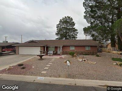
1505 S 12th Ave Safford, AZ 85546
Estimated Value: $288,209 - $397,000
--
Bed
--
Bath
2,061
Sq Ft
$168/Sq Ft
Est. Value
About This Home
This home is located at 1505 S 12th Ave, Safford, AZ 85546 and is currently estimated at $347,052, approximately $168 per square foot. 1505 S 12th Ave is a home located in Graham County with nearby schools including Ruth Powell Elementary School, Dorothy Stinson School, and Lafe Nelson School.
Ownership History
Date
Name
Owned For
Owner Type
Purchase Details
Closed on
Jul 25, 2022
Sold by
Ann Arrellin Melissa
Bought by
Arrellin Melissa Ann and Arrellin Brandon James
Current Estimated Value
Home Financials for this Owner
Home Financials are based on the most recent Mortgage that was taken out on this home.
Original Mortgage
$216,727
Outstanding Balance
$208,853
Interest Rate
5.7%
Mortgage Type
FHA
Estimated Equity
$136,079
Purchase Details
Closed on
Nov 13, 2012
Sold by
Russell Lee William and Russell Marilyn Louise
Bought by
Dixon Bruce A
Home Financials for this Owner
Home Financials are based on the most recent Mortgage that was taken out on this home.
Original Mortgage
$162,500
Interest Rate
3.34%
Mortgage Type
VA
Create a Home Valuation Report for This Property
The Home Valuation Report is an in-depth analysis detailing your home's value as well as a comparison with similar homes in the area
Home Values in the Area
Average Home Value in this Area
Purchase History
| Date | Buyer | Sale Price | Title Company |
|---|---|---|---|
| Arrellin Melissa Ann | -- | -- | |
| Dixon Bruce A | $162,500 | Safford Title Agency |
Source: Public Records
Mortgage History
| Date | Status | Borrower | Loan Amount |
|---|---|---|---|
| Open | Arrellin Melissa Ann | $64,463 | |
| Open | Arrellin Melissa Ann | $216,727 | |
| Previous Owner | Dixon Bruce A | $162,500 | |
| Previous Owner | Russell Lee William | $25,000 |
Source: Public Records
Tax History Compared to Growth
Tax History
| Year | Tax Paid | Tax Assessment Tax Assessment Total Assessment is a certain percentage of the fair market value that is determined by local assessors to be the total taxable value of land and additions on the property. | Land | Improvement |
|---|---|---|---|---|
| 2026 | $1,228 | -- | -- | -- |
| 2025 | $1,228 | $24,062 | $1,643 | $22,419 |
| 2024 | $1,277 | $22,478 | $1,643 | $20,835 |
| 2023 | $1,277 | $18,014 | $1,643 | $16,371 |
| 2022 | $1,254 | $16,067 | $1,643 | $14,424 |
| 2021 | $1,383 | $0 | $0 | $0 |
| 2020 | $1,331 | $0 | $0 | $0 |
| 2019 | $1,401 | $0 | $0 | $0 |
| 2018 | $1,332 | $0 | $0 | $0 |
| 2017 | $1,277 | $0 | $0 | $0 |
| 2016 | $1,144 | $0 | $0 | $0 |
| 2015 | $1,045 | $0 | $0 | $0 |
Source: Public Records
Map
Nearby Homes
- 1609 S 12th Ave
- 1785 Camilla Cir
- 1309 S Bingham Place
- 1670 W Relation St
- 2107 S 10th Ave
- 816 W 11th St
- 1206 S 6th Ave
- 1204 S 5th Ave
- 401 W Bonita St
- 1207 W Tucson St
- 0 S 20th Ave Unit no 22325261
- 1879 W Peppertree Dr
- 630 S 10th Ave
- 115 W 15th St
- 2215 S Lamonica Way
- 1405 W 24th St
- 545 W Keisha Ln
- 835 W 25th St
- 1895 W 26th St
- 1105 S 1st Ave
- 1505 S 12th Ave
- 1511 S 12th Ave
- 1503 S 12th Ave
- 1180 W Cherokee Cir
- 1502 S 12th Ave
- 1508 S 12th Ave
- 1512 S 12th Ave
- 1515 S 12th Ave
- 1185 W Cherokee Cir
- 1413 S 12th Ave
- 1516 S 12th Ave
- 1519 S 12th Ave
- 1520 S 12th Ave
- 1411 S 12th Ave
- 1111 W Cherokee Cir Unit 306
- 1523 S 12th Ave
- 1550 S 12th Ave
- 1409 S 12th Ave
- 1080 W Cherokee Cir
- 1160 W 16th St